Israeli fighter jets conduct operations over Daraa Governorate in southern Syria
What happened
Israeli combat aircraft flew over Daraa Governorate in southern Syria on 10 October at approximately 19:03 UTC, according to a report from the Syria Now correspondent on Telegram. The report does not specify target locations, ordnance use, or any resulting damage or casualties. The timing and scope of the aerial operations remain unclear from available information.
Context and assessment
Daraa Governorate, located along the Israeli-Syrian border, has remained a zone of contested control and heightened military activity since Syria's civil conflict began. The reported Israeli air operations occur within a pattern of Israeli military activity in southern Syria documented over recent days, including a ground patrol with two vehicles in nearby Jumlah village on 10 October and armored vehicle movement along the Um al-Azam to Um Bathana road in adjacent Quneitra Governorate the same day. These operations may reflect efforts to monitor or prevent weapons transfers, constrain Iranian-aligned forces, or respond to security concerns in Israeli-held territory. The broader context includes ongoing instability in border areas, evidenced by an armed ambush of customs police near Izra Bridge on 9 October.
Sources and confidence
Reported by Syria Now (@AJSyriaNow), a Telegram channel focused on Syrian developments. The account provided the basic observation of aircraft presence without corroborating tactical details. With a single source and minimal specificity, confidence is moderate (7.6/10). Cross-confirmation from additional channels or official statements would strengthen assessment. Video evidence, damage reports, or secondary sources would raise confidence; official denials or contradictory reports would lower it.
Location
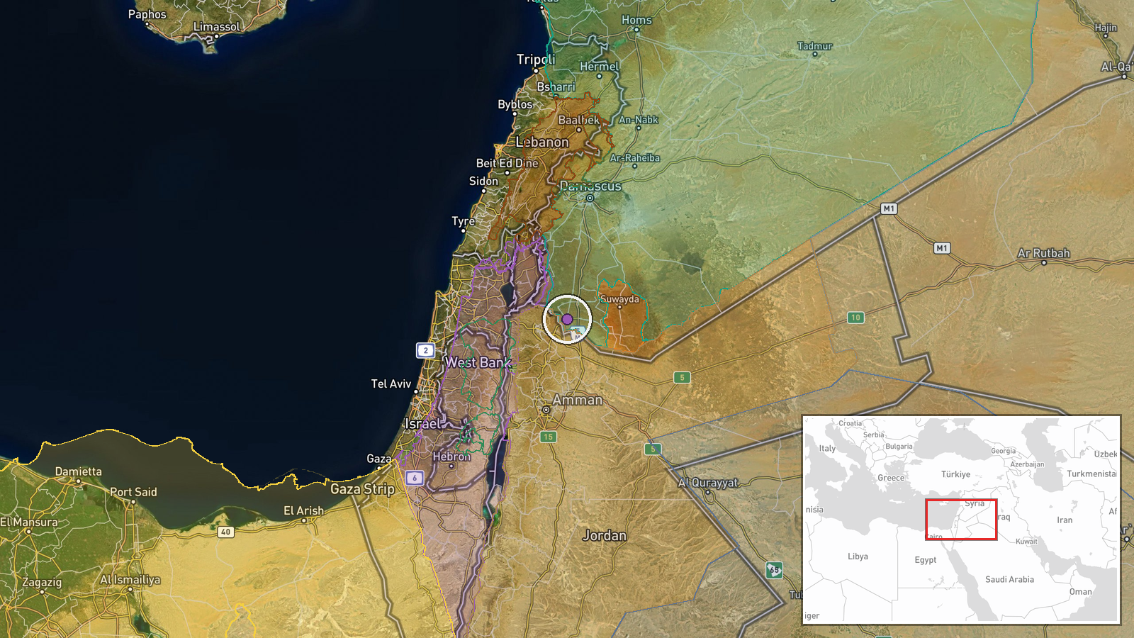
Daraa Governorate spans the southern region of Syria immediately north of the Israeli-occupied Golan Heights. The governorate is bounded by Quneitra to the west and includes towns such as Daraa city, Izra, and numerous smaller settlements. The governorate's geography is characterized by open terrain and valleys, making it strategically significant for monitoring cross-border activity and controlling supply routes into Israeli-held territory.
Related events nearby
- Two customs police officers wounded in armed ambush near Izra Bridge (Daraa) while escorting transit convoy. U2026-10-09 21:19 UTC · Security · Izra Bridge, Izra Bridge, Daraa
- Israeli occupation forces conducted patrol with two vehicles in Jumlah village, western rural Daraa. Forces in2026-10-10 09:01 UTC · Security · Jumlah, Quneitra, Syria
- Wounded from July 2025 events held protest demonstration in As-Suwayda's As-Sira Square demanding state suppor2026-10-10 15:39 UTC · Statement · As-Suwayda, As-Suwayda Governorate, Syria
- Israeli occupation forces advancing with six armored vehicles along Um al-Azam to Um Bathana road in rural Qun2026-10-10 14:31 UTC · Combat · Um al-Azam - Um Bathana road, Quneitra Governorate
- Syrian Civil Aviation Authority launches dedicated bus shuttle service connecting Damascus city center (Al-Bar2026-10-10 10:40 UTC · Humanitarian Aid · Damascus International Airport, Damascus, Syria
▶ View this event on the live map

Intel Mapper aggregates open-source reports from monitored Telegram and X channels, geolocates them, cross-checks duplicates across sources and assigns a confidence score. Entries are updated as new confirmations arrive. Read how we verify events.