Syria announces plan to convert Palmyra military airfield to civilian tourism airport
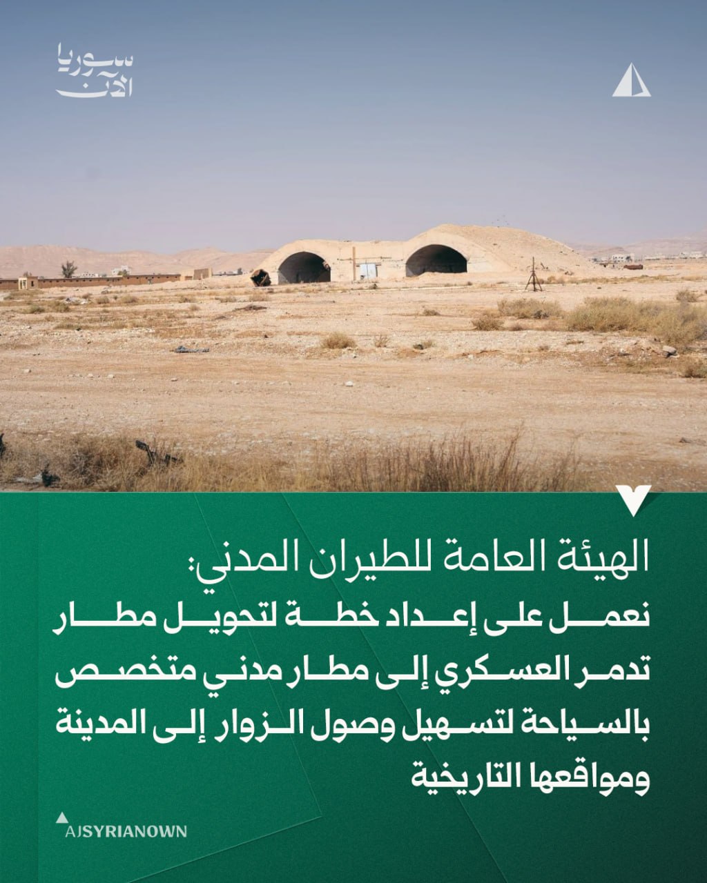
What happened
The Syrian General Authority for Civil Aviation and Air Transport announced on 13 October that it is preparing a plan to convert Palmyra military airfield into a civilian airport specialized in tourism. According to the statement, the conversion aims to facilitate visitor access to the ancient city of Palmyra and its archaeological sites. The announcement was made via the official Telegram channel @AJSyriaNow.
Context and assessment
Palmyra's military airfield has been a strategic asset in central Syria, located near the UNESCO World Heritage site of Palmyra. The airfield has served primarily military functions during Syria's ongoing conflict. Civilian tourism infrastructure in Syria has suffered significantly since 2011, with many heritage sites damaged or inaccessible due to security concerns. The announcement comes amid reported Israeli military incursions along Syria's southern border in recent days, suggesting the Syrian government may be attempting to signal normalization and economic planning despite regional tensions. Such conversion plans typically signal a shift toward stabilization and international engagement, though implementation in current conditions remains uncertain.
Sources and confidence
Single source: Syrian government's official Telegram channel (@AJSyriaNow). No cross-confirmation from international media or independent observers. Confidence score of 7.6 reflects that the source is an official government statement but lacks external verification. Confidence would increase with reports from aviation authorities, UNESCO, or international tourism bodies; it would decrease if contradicted by independent accounts of ongoing military use.
Location
Palmyra military airfield is located in Homs Governorate in central Syria, approximately 240 kilometers northeast of Damascus. The ancient city of Palmyra lies nearby in the Syrian desert steppe, historically a crucial trade junction between the Mediterranean and Mesopotamia. Coordinates provided (33.5138°N, 36.2765°E) locate to Damascus; the airfield itself is situated further east.
Related events nearby
- Syrian General Authority for Civil Aviation announces 6-12 month timeline to restore Palmyra military airfield2026-10-13 09:42 UTC · Statement · Damascus, Syria
- Israeli occupation forces infiltrated Krom Mazra'a farmland west of Damascus and opened fire on farmers. Local2026-10-13 06:22 UTC · Security · Beit Jan, Rif Dimashq, Syria
- Israeli Air Force conducted airstrike and detonated an abandoned military barracks at Tel Harbon near Beit Jan2026-10-12 14:50 UTC · Airstrike · Tel Harbon, Beit Jan, Rif Dimashq, Syria
- Syrian Government delegation from the People's Council visited Quneitra Governorate to assess local conditions2026-10-13 09:30 UTC · Statement · Quneitra, Quneitra Governorate, Syria
- Israeli occupation forces abducted a young man from Breiqah village in Quneitra countryside and released him a2026-10-13 07:03 UTC · Security · Breiqah, Quneitra Countryside, Syria
▶ View this event on the live map

Intel Mapper aggregates open-source reports from monitored Telegram and X channels, geolocates them, cross-checks duplicates across sources and assigns a confidence score. Entries are updated as new confirmations arrive. Read how we verify events.