Israeli forces set fire to hay depot and house in Wadi al-Raqad, Daraa countryside
What happened
Israeli occupation forces reportedly set fire to a hay storage depot and parts of a residential house during infiltration operations in Wadi al-Raqad in the western Daraa countryside of southern Syria on 15 October. According to the Quneitra Media Directorate, no casualties were reported in the incident. The operation was described as an infiltration rather than an air or artillery strike, suggesting ground or limited-scope cross-border activity.
Context and assessment
Wadi al-Raqad lies in southern Syria's demilitarized zone adjacent to Israeli-controlled territory, an area subject to recurring Israeli military incursions. This incident follows a pattern of Israeli operations in the region within 24 hours: artillery strikes on Taranah in northern Quneitra on 14 October and airstrikes in southern Lebanon near Tebnine the same day. The targeting of agricultural infrastructure—hay storage—may reflect efforts to pressure local populations or disrupt supply chains. Such limited-scope operations in rural Daraa are relatively routine given the proximity and Israel's stated security concerns, though they underscore persistent cross-border tensions.
Sources and confidence
Single source: Telegram channel @AJSyriaNow, affiliated with Quneitra Media Directorate. No cross-confirmation from Israeli military statements, independent monitors, or competing Syrian sources reported. Confidence score of 7.6 reflects single-source reporting and low geographic precision. Score would increase with Israeli acknowledgment or corroborating media; would decrease if source credibility were questioned.
Location
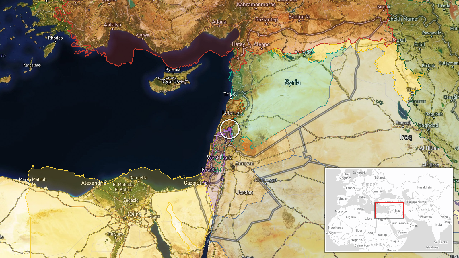
Wadi al-Raqad in western rural Daraa Governorate, approximately 80 km south of Damascus near the Syrian-Israeli armistice line. Precision rated 'region' due to limited specificity in source; exact facility coordinates unavailable. The location sits in the demilitarized buffer zone established after the 1974 Golan Heights disengagement agreement.
Related events nearby
- Israeli forces conducted artillery strikes targeting the edges of Taranah village in northern Quneitra country2026-10-14 15:56 UTC · Artillery · Taranah, Quneitra Governorate, Syria
- Israeli military conducts airstrikes targeting southern Lebanon. No specific casualty or damage figures report2026-10-14 19:10 UTC · Airstrike · Near Tebnine, Nabatieh, Southern Lebanon (front li
- Syrian Military Criminal Court begins second session to deliver verdicts in Coastal violations file. Court wil2026-10-15 07:20 UTC · Statement · Military Criminal Court, Damascus, Syria
- OPCW Director-General Sabrina Dallafior visited a chemical weapons massacre memorial cemetery in Zamlaka, Rif 2026-10-14 11:55 UTC · Diplomacy · Zamlaka, Rif Dimashq, Syria
- Lebanese Army announced the arrest of 153 Syrian nationals. Security operation as part of ongoing migration an2026-10-14 16:29 UTC · Security · Lebanon (location not reported)
▶ View this event on the live map

Intel Mapper aggregates open-source reports from monitored Telegram and X channels, geolocates them, cross-checks duplicates across sources and assigns a confidence score. Entries are updated as new confirmations arrive. Read how we verify events.