Russian Geran-3 drones tracked toward Vinnytsia Oblast settlements
What happened
Ukrainian air monitoring detected two Russian jet-powered Shahed (Geran-3) drones in transit over Vinnytsia Oblast on the evening of October 13. One drone was reported heading toward Kalynivskyi (also referenced as Kalynivka/Khmilnyk area) and a second toward Kopaihorod, both in central Ukraine. The report comes from the official Kyiv-based Telegram channel of Ukrainian air defense coordination, which tracks inbound aerial threats in real time.
Context and assessment
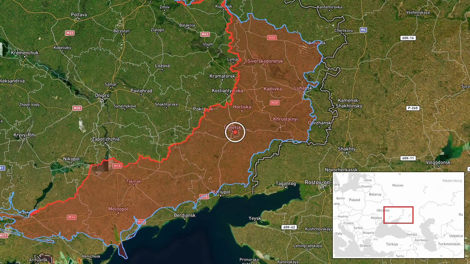
Vinnytsia Oblast, located roughly 200 kilometers west of active frontlines in Donetsk, has seen repeated strikes from Russian long-range drones throughout the conflict. Geran-3 variants—subsonic cruise drones with extended range—are commonly used against civilian and military infrastructure deep in Ukrainian-held territory. The detection follows a pattern of nightly Russian drone operations targeting rear areas while ground forces advance incrementally in the Donbas, as seen in the Shakhove sector where Russian forces reportedly gained terrain on the same date. Such strikes may aim to degrade Ukrainian logistics, power generation, or civilian morale.
Sources and confidence
Single source: official Telegram channel (@kpszsu) of Ukrainian air monitoring authorities. No cross-confirmation from independent or Western sources available in dataset. Confidence score of 8.0 reflects the official, real-time nature of the source but limited corroboration. Confirmation via strike reports or wreckage documentation would increase confidence; absence of further tracking data slightly lowers it.
Location
Kalynivskyi and Kopaihorod are settlements in Vinnytsia Oblast, central Ukraine, approximately 100 and 80 kilometers respectively from the nearest Russian-held territory. Geographic precision is settlement-level; exact strike points unknown at report time. Both lie in relatively flat agricultural terrain west of the Dnipro River.
Related events nearby
- Ukrainian forces struck enemy personnel concentrations near Selidove, Rozdolne, Suzhky, and Myrnohrad in Donet2026-10-13 08:40 UTC · UAS Strike · Selidove, Donetsk Oblast, Ukraine
- Russian forces advanced (~6 km²) in the Shakhove sector per DeepState frontline update. No settlement center c2026-10-13 18:20 UTC · Combat · Shakhove sector, Ukraine
- Russian forces advanced (~6 km²) in the Shakhove sector per DeepState frontline update. No settlement center c2026-10-13 18:20 UTC · Combat · Shakhove sector, Ukraine
- Ukrainian air monitoring: 1 Russian jet-powered Shahed (Geran-3) drone passing Lazurnyi, heading west.2026-10-13 16:49 UTC · Drone Transit · Lazurnyi, Ukraine
- Russian sniper with SVD Dragunov rifle destroyed an enemy FPV drone with a single shot during active combat op2026-10-12 20:00 UTC · UAS Strike · Near Yampil', Donetsk, frontline sector (front lin
▶ View this event on the live map

Intel Mapper aggregates open-source reports from monitored Telegram and X channels, geolocates them, cross-checks duplicates across sources and assigns a confidence score. Entries are updated as new confirmations arrive. Read how we verify events.