Russian jet-powered Shahed drone transits over Vinkivtsi toward Khmelnytskyi
What happened
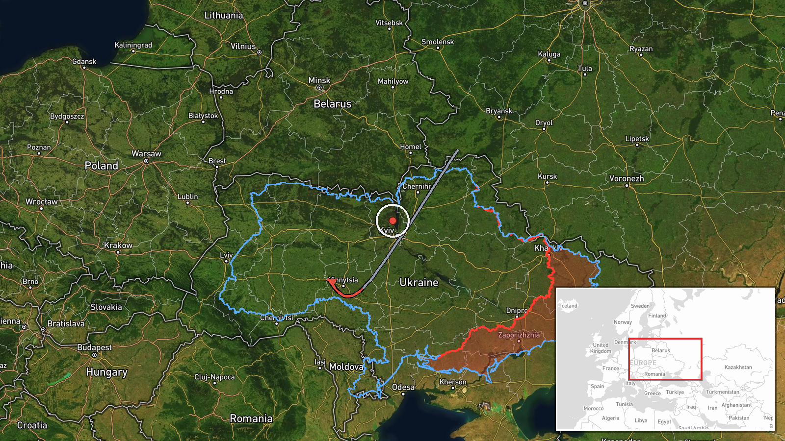
Ukrainian air monitoring detected a Russian jet-powered Shahed (Geran-3) drone in transit from Vinnytsia Oblast through Khmelnytskyi Oblast on the evening of October 13. The drone reportedly passed over Vinkivtsi settlement at approximately 19:10 UTC. The alert was issued by the Kyiv Post Air Defence Situation Update channel via Telegram, which monitors Ukrainian airspace for incoming threats and drone activity.
Context and assessment
This transit report is part of a coordinated multi-drone strike pattern detected across western-central Ukraine on October 13. Related alerts show Shahed drones operating simultaneously over Derazhnia, Bar, Khmelnytskyi city, and Yarmolyntsi—suggesting a distributed strike package. Khmelnytskyi Oblast, an agricultural and industrial region northwest of Kyiv, has faced recurring drone attacks targeting energy infrastructure and military positions. The clustering of transit reports over a roughly two-hour window indicates Russia may have launched a significant drone operation, possibly targeting multiple objectives across the region.
Sources and confidence
Single source: Telegram channel @kpszsu (Kyiv Post Air Defence Situation Update), which aggregates Ukrainian air defence monitoring data. No independent cross-confirmation reported. Confidence score of 8.0 reflects the source's established track record in air monitoring but the absence of secondary validation. Confirmation via air defence interception reports or damage assessments would raise confidence; conflicting reports would lower it.
Location
Vinkivtsi is a small settlement in central Khmelnytskyi Oblast, located at approximately 49.03°N, 27.23°E. The settlement lies in the rolling steppe of western Ukraine, roughly 120 km northwest of Kyiv and 40 km southeast of the regional capital Khmelnytskyi city. Precision: regional-level determination based on settlement name.
Related events nearby
- Ukrainian air monitoring: 2+ Russian jet-powered Shahed (Geran-3) drones transiting from Vinnytsia Oblast towa2026-10-13 18:24 UTC · Drone Transit · Derazhnia, Khmelnytskyi Oblast, Ukraine
- Ukrainian air monitoring: 1 Russian jet-powered Shahed (Geran-3) drone heading toward Dunayivtsi.2026-10-13 13:29 UTC · Drone Transit · Dunayivtsi, Ukraine
- Ukrainian air monitoring: 2+ Russian jet-powered Shahed (Geran-3) drones heading toward Bar.2026-10-13 18:21 UTC · Drone Transit · Bar, Ukraine
- Ukrainian air monitoring: 1 Russian jet-powered Shahed (Geran-3) drone from Khmelnytskyi Oblast toward Yarmoly2026-10-13 13:30 UTC · Drone Transit · Yarmolyntsi, Ukraine
- Ukrainian air monitoring: 1 Russian jet-powered Shahed (Geran-3) drone over Khmelnytskyi.2026-10-13 18:59 UTC · Drone Transit · Khmelnytskyi, Ukraine
▶ View this event on the live map

Intel Mapper aggregates open-source reports from monitored Telegram and X channels, geolocates them, cross-checks duplicates across sources and assigns a confidence score. Entries are updated as new confirmations arrive. Read how we verify events.