Three Russian Shahed drones tracked over Chernihiv Oblast on October 13
What happened
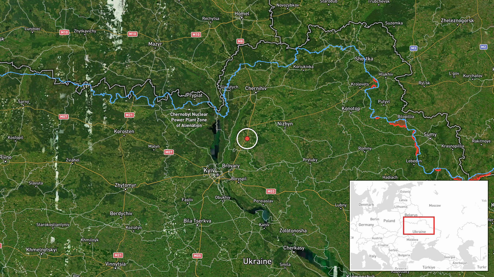
Ukrainian air monitoring reported three Russian jet-powered Shahed (Geran-3) drones in transit over Chernihiv Oblast on the evening of October 13. One drone was tracked heading toward Kozelets, a second toward Chernihiv city, and a third positioned north of Nizhyn. The report was released by the Telegram channel of the Chernihiv Regional State Administration (@kpszsu) at 19:51 UTC. No interception or strike outcome was specified in the monitoring alert.
Context and assessment
Chernihiv Oblast, situated in northeastern Ukraine along the Russian border, has remained a consistent target for Russian drone operations throughout 2026. The October 13 activity represents part of a wider attack pattern that day, with Ukrainian monitoring also tracking Shahed drones toward targets in Kyiv Oblast (Velyka Dymerka, Brovary) and in Chernihiv Oblast (Bobrovytsia, Nizhyn). The concentration of three concurrent drone routes over a single oblast suggests a coordinated multi-vector strike, consistent with Russian tactics of saturating air defenses. Geran-3 drones, a Russian variant of Iranian Shahed-136 systems, are typically employed against infrastructure and civilian targets at range.
Sources and confidence
Alert issued by Chernihiv Regional State Administration Telegram channel (@kpszsu), the primary official source for Ukrainian air monitoring in the region. Single-source reporting limits independent verification; confidence rating of 8.0 reflects the official Ukrainian channel status but absence of cross-confirmation from other monitoring services. Confirmation via air defense engagement reports or damage assessments would strengthen confidence.
Location
Chernihiv Oblast, northeastern Ukraine. Kozelets is a settlement approximately 100 km northeast of Kyiv; Chernihiv city is the regional capital roughly 140 km north of Kyiv. Nizhyn lies approximately 80 km southeast of Chernihiv city. All three locations are within 50 km of the Russian border in this sector.
Related events nearby
- Ukrainian air monitoring: 1 Russian jet-powered Shahed (Geran-3) drone from Chernihiv Oblast toward Kozelets.2026-10-13 13:49 UTC · Drone Transit · Kozelets, Ukraine
- Ukrainian air monitoring: 1 Russian jet-powered Shahed (Geran-3) drone from Chernihiv Oblast toward Bobrovytsi2026-10-13 16:07 UTC · Drone Transit · Bobrovytsia, Ukraine
- Ukrainian air monitoring: 1 Russian Shahed-type drone over Nosivka.2026-10-13 20:14 UTC · Drone Transit · Nosivka, Ukraine
- Ukrainian air monitoring: 1 Russian jet-powered Shahed (Geran-3) drone from Kyiv Oblast toward Velyka Dymerka.2026-10-13 14:46 UTC · Drone Transit · Velyka Dymerka, Ukraine
- Ukrainian air monitoring: 1 Russian jet-powered Shahed (Geran-3) drone from Kyiv Oblast toward Brovary.2026-10-13 18:07 UTC · Drone Transit · Brovary, Ukraine
▶ View this event on the live map

Intel Mapper aggregates open-source reports from monitored Telegram and X channels, geolocates them, cross-checks duplicates across sources and assigns a confidence score. Entries are updated as new confirmations arrive. Read how we verify events.