Russian Geran-3 drone tracked over Khmelnytskyi in western Ukraine
What happened
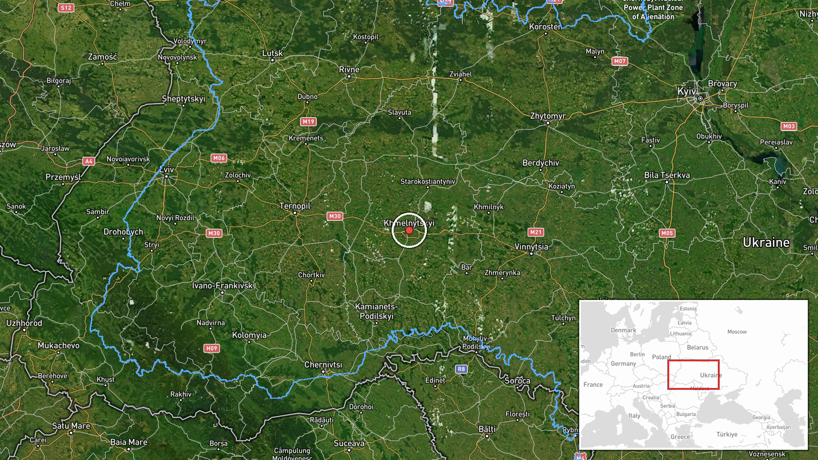
Ukrainian air monitoring channels reported detecting one Russian jet-powered Shahed (Geran-3) drone transiting over Khmelnytskyi city in western Ukraine on October 13 at 20:30 UTC. The detection came after multiple earlier reports tracking the same or similar drone approaching the oblast throughout the afternoon, beginning around 15:20 UTC. The report does not specify whether the drone was engaged, intercepted, or reached its intended target.
Context and assessment
Khmelnytskyi, a regional hub in western Ukraine approximately 260 kilometers from the Russian border, has been a recurring target of Russian unmanned aerial operations in recent months. The Geran-3, a jet-powered variant of the Shahed family, is capable of carrying warheads over extended ranges and represents an evolution in Russia's drone arsenal. The series of detections tracking this drone's approach throughout October 13 suggests a coordinated or persistent strike effort, consistent with recent Russian patterns of targeting infrastructure and population centers in rear areas. The concentration of reports on a single platform over hours may indicate either repeated sorties or sustained tracking of one airframe.
Sources and confidence
Single source: Telegram channel @kpszsu (Ukrainian official air monitoring). Confidence score 8.0 reflects official Ukrainian reporting but absence of cross-confirmation from independent monitors or second official channels. Score could rise with confirmation of interception, impact, or corroboration from other air defense monitoring sources; would lower if subsequent reporting contradicts detection.
Location
Khmelnytskyi city, western Ukraine (49.42°N, 26.98°E), regional administrative center located in Khmelnytskyi Oblast. Approximately 260 km west-northwest of Kyiv and roughly 150 km south of the Belarus border. Major transportation and industrial hub in the region.
Related events nearby
- Ukrainian air monitoring: 1 Russian jet-powered Shahed (Geran-3) drone over Khmelnytskyi.2026-10-13 18:59 UTC · Drone Transit · Khmelnytskyi, Ukraine
- Ukrainian air monitoring: 1 Russian jet-powered Shahed (Geran-3) drone heading toward Khmelnytskyi.2026-10-13 17:27 UTC · Drone Transit · Khmelnytskyi, Ukraine
- Ukrainian air monitoring: 1 Russian jet-powered Shahed (Geran-3) drone heading toward Khmelnytskyi Oblast.2026-10-13 17:18 UTC · Drone Transit · Khmelnytskyi Oblast, Ukraine
- Ukrainian air monitoring: 1 Russian jet-powered Shahed (Geran-3) drone heading toward Khmelnytskyi; 1 Russian 2026-10-13 15:41 UTC · Drone Transit · Khmelnytskyi, Ukraine
- Ukrainian air monitoring: 1 Russian jet-powered Shahed (Geran-3) drone heading toward Khmelnytskyi Oblast.2026-10-13 15:20 UTC · Drone Transit · Khmelnytskyi Oblast, Ukraine
▶ View this event on the live map

Intel Mapper aggregates open-source reports from monitored Telegram and X channels, geolocates them, cross-checks duplicates across sources and assigns a confidence score. Entries are updated as new confirmations arrive. Read how we verify events.