Russian Shahed drone detected over Chernihiv Oblast heading toward Kyiv
What happened
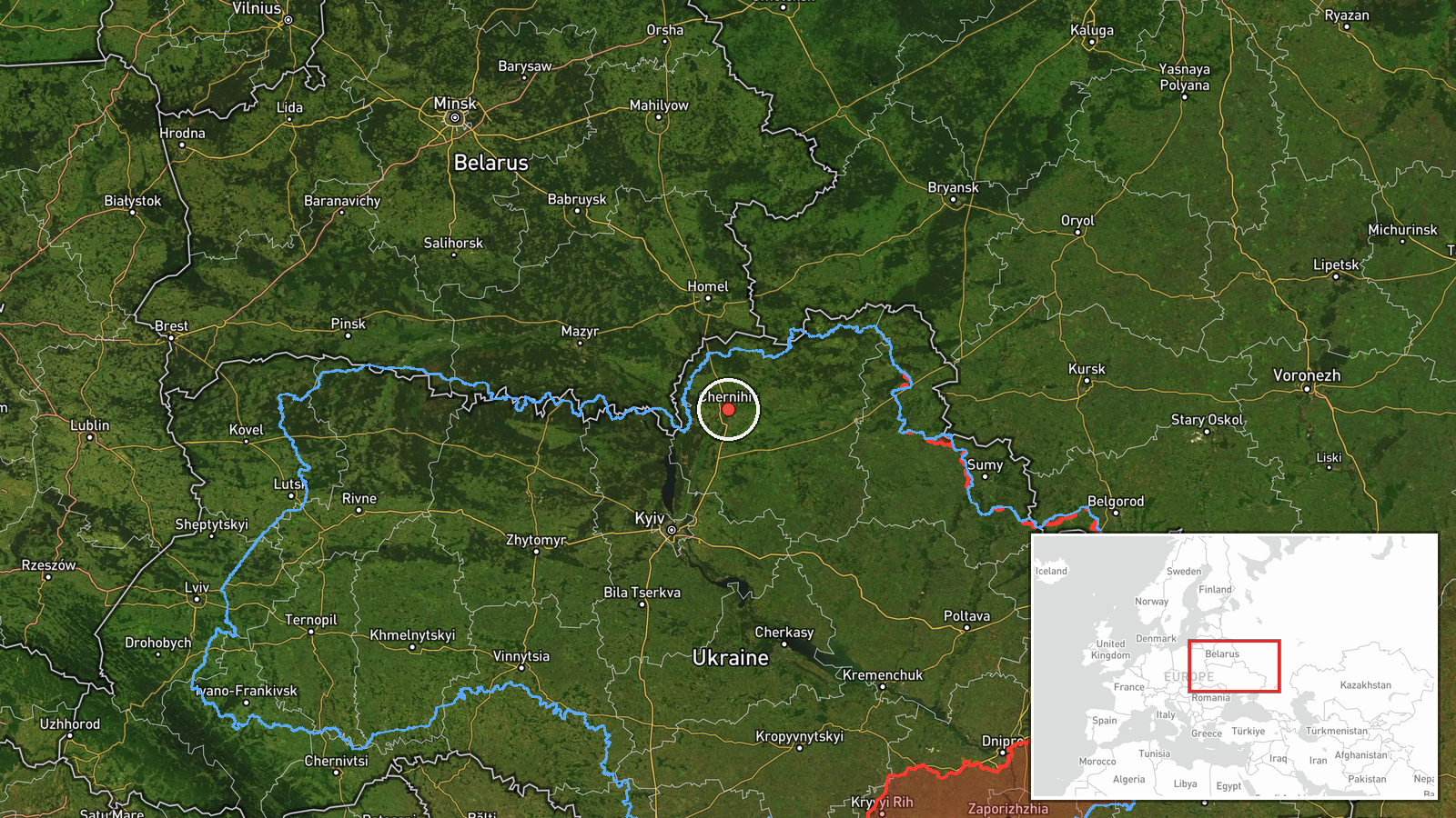
Ukrainian air monitoring reported one Russian Shahed-type drone transiting west of Bobrovytsia in Chernihiv Oblast on the evening of 13 October 2026, apparently heading toward Kyiv or the Velyka Dymerka area. The report comes from the official Telegram channel of Ukraine's air defense command (@kpszsu). The drone's exact type—whether a turbojet-powered Geran-3 or an earlier piston-engine variant—was not specified in this particular alert.
Context and assessment
This detection is part of a sustained Russian drone operation across Chernihiv Oblast on 13 October, with multiple Shahed-type aircraft tracked moving through the region during the evening hours. Related reports show at least five separate drone transits or detections between 15:56 and 20:59 UTC the same day, including confirmed Geran-3 variants originating from Belarus and heading toward various targets including Nizhyn, Kozelets, Nosivka, and Dobrianka. The convergence of reports suggests either a coordinated multi-target strike package or sequential waves of reconnaissance and attack drones probing Ukrainian air defenses. Chernihiv Oblast remains a persistent avenue for Russian drone operations targeting Kyiv, lying directly north of the capital.
Sources and confidence
Single source: Ukrainian air defense command official Telegram channel (@kpszsu). No cross-confirmation from independent monitors or Ukrainian official statements recorded. Confidence score of 8.0 reflects the official Ukrainian source but the low geographic precision (region-level) and lack of secondary confirmation. Score would increase with reports from other air monitoring channels or Ukrainian military statements; would decrease if later analysis contradicted the reported heading or drone type.
Location
Reported west of Bobrovytsia settlement, Chernihiv Oblast, northern Ukraine (51.49°N, 31.29°E). Bobrovytsia lies in the eastern part of Chernihiv Oblast, approximately 80 km north-northeast of Kyiv. The region is characterized by open terrain with scattered settlements and road networks; the drone was reportedly heading southwest toward the capital or the Velyka Dymerka area.
Related events nearby
- Ukrainian air monitoring: 2+ Russian jet-powered Shahed (Geran-3) drones from Belarus toward Chernihiv Oblast.2026-10-13 15:56 UTC · Drone Transit · Chernihiv Oblast, Ukraine
- Ukrainian air monitoring detected 1 Russian jet-powered Shahed (Geran-3) drone over Dobrianka area, Chernihiv 2026-10-13 20:59 UTC · Drone Transit · Dobrianka, Chernihiv Oblast, Ukraine
- Ukrainian air monitoring: 1 Russian jet-powered Shahed (Geran-3) drone from Chernihiv Oblast toward Nizhyn.2026-10-13 19:34 UTC · Drone Transit · Nizhyn, Ukraine
- Ukrainian air monitoring: 1 Russian Shahed-type drone over Nosivka.2026-10-13 20:14 UTC · Drone Transit · Nosivka, Ukraine
- Ukrainian air monitoring: 1 Russian jet-powered Shahed (Geran-3) drone heading toward Kozelets; 1 Russian jet-2026-10-13 19:51 UTC · Drone Transit · Kozelets, Ukraine
▶ View this event on the live map

Intel Mapper aggregates open-source reports from monitored Telegram and X channels, geolocates them, cross-checks duplicates across sources and assigns a confidence score. Entries are updated as new confirmations arrive. Read how we verify events.