Russian Shahed drone tracked heading toward Kryzhopil in Vinnytsia Oblast
What happened
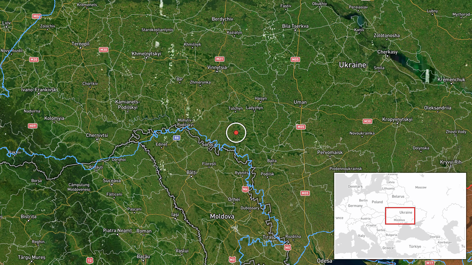
Ukrainian air monitoring services reported a single Russian jet-powered Shahed (Geran-3) reconnaissance or attack drone transiting toward Kryzhopil in Vinnytsia Oblast on October 14 at 01:55 UTC. The report was posted by the Kyiv-Pechersk air defense headquarters telegram channel. This represents one in a series of drone detections targeting the same settlement over a 24-hour period.
Context and assessment
Kryzhopil lies in central Vinnytsia Oblast, approximately 200 kilometers west of active front lines. The concentration of multiple Shahed drone sightings over this location within 24 hours—at least five separate transits detected—suggests either deliberate targeting of infrastructure in the district or transit corridors being used for strikes deeper into western Ukraine. The Geran-3 variant represents Russia's most advanced loitering munition, typically employed against high-value military or critical infrastructure targets. The repeated focus on this relatively small settlement may indicate persistent reconnaissance or targeting of a specific facility or military asset in the area.
Sources and confidence
Reported solely by Kyiv-Pechersk air defense headquarters via Telegram, which operates as the official Ukrainian air defense alert channel with high institutional credibility. Single-source reporting lowers confidence from potentially higher levels. Cross-confirmation from independent monitors or Ukrainian military statements would strengthen assessment. The confidence score of 8.0 reflects the authoritative source despite limited corroboration.
Location
Kryzhopil is a settlement in Vinnytsia Oblast, central Ukraine, located at approximately 48.38°N, 28.87°E. The town sits in relatively flat terrain characteristic of central Ukrainian steppe, roughly 200 kilometers behind the current primary front lines. Nearby Tomashpil was mentioned as a reference point in the original Ukrainian report.
Related events nearby
- Ukrainian air monitoring: 2+ Russian jet-powered Shahed (Geran-3) drones heading toward Kryzhopil.2026-10-14 01:14 UTC · Drone Transit · Kryzhopil, Ukraine
- Ukrainian air monitoring: 2+ Russian jet-powered Shahed (Geran-3) drones heading toward Kryzhopil.2026-10-13 18:11 UTC · Drone Transit · Kryzhopil, Ukraine
- Ukrainian air monitoring: 1 Russian jet-powered Shahed (Geran-3) drone heading toward Kryzhopil.2026-10-13 17:01 UTC · Drone Transit · Kryzhopil, Ukraine
- Ukrainian air monitoring: 1 Russian jet-powered Shahed (Geran-3) drone heading toward Kryzhopil.2026-10-13 13:29 UTC · Drone Transit · Kryzhopil, Ukraine
- Ukrainian air monitoring: 1 Russian jet-powered Shahed (Geran-3) drone heading toward Vapnyarka.2026-10-14 00:28 UTC · Drone Transit · Vapnyarka, Ukraine
▶ View this event on the live map

Intel Mapper aggregates open-source reports from monitored Telegram and X channels, geolocates them, cross-checks duplicates across sources and assigns a confidence score. Entries are updated as new confirmations arrive. Read how we verify events.