Russian Geran-3 drone transits Rivne Oblast heading southwest
What happened
Ukrainian air monitoring detected one Russian jet-powered Shahed (Geran-3) drone passing through Rivne Oblast on October 15 at 01:54 UTC, traveling in a southwestern direction. The report, issued by the Ukrainian armed forces' air command via Telegram, provided limited specifics on the drone's altitude or intended target. This sighting occurred within two minutes of another detection tracking a similar drone toward Rivne city itself.
Context and assessment
Rivne Oblast in northwestern Ukraine has faced repeated Russian unmanned aircraft activity over recent days. A Geran-3 strike on nearby Lutsk on October 14 killed six civilians, and multiple drone transits through the region have been logged since then. The southwest-bound trajectory suggests the aircraft may be heading toward populated areas in central or western Ukraine rather than remaining in the immediate Rivne region. Such patterns of recurring drone movements through the same corridors indicate Russia may be conducting sustained strike operations against civilian or military infrastructure across a broad geographic area.
Sources and confidence
Single source: Ukrainian armed forces air command (@kpszsu) on Telegram. No cross-confirmation from other monitoring channels or allied intelligence agencies reported. Confidence score of 8.0 reflects the official Ukrainian military origin but limited independent verification and low geographic precision at the regional level. Corroboration from additional independent sources or post-strike damage reports would strengthen confidence.
Location
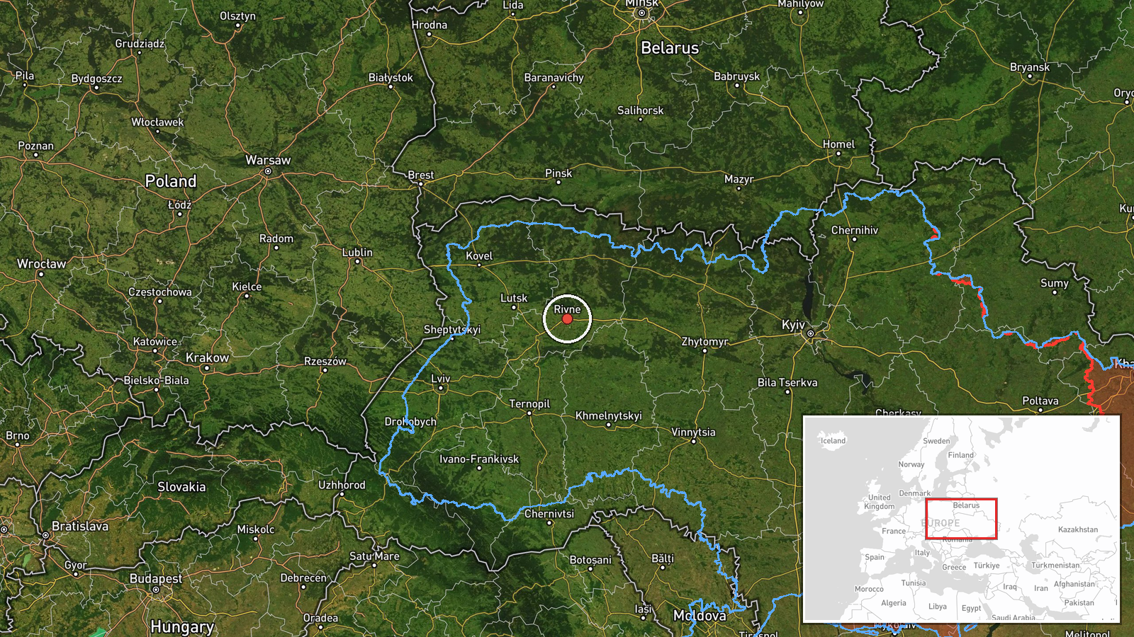
Rivne Oblast, northwestern Ukraine, near Stepan settlement. The region lies approximately 280 kilometers west of Kyiv and borders Belarus to the north. Rivne city is the oblast's administrative center. Geographic precision is regional rather than precise due to source wording describing drone transit rather than a fixed strike location.
Related events nearby
- Ukrainian air monitoring: 1 Russian jet-powered Shahed (Geran-3) drone heading toward Rivne.2026-10-15 02:29 UTC · Drone Transit · Rivne, Ukraine
- Ukrainian air monitoring: 1 Russian jet-powered Shahed (Geran-3) drone heading toward Rivne.2026-10-15 01:52 UTC · Drone Transit · Rivne, Ukraine
- Ukrainian air monitoring: 1 Russian jet-powered Shahed (Geran-3) drone heading toward Rivne.2026-10-14 03:44 UTC · Drone Transit · Rivne, Ukraine
- Ukrainian air monitoring: 1 Russian jet-powered Shahed (Geran-3) drone heading toward Kostopil.2026-10-14 03:08 UTC · Drone Transit · Kostopil, Ukraine
- Ukrainian air monitoring: 1 Russian jet-powered Shahed (Geran-3) drone passing Pivnichnyi, heading toward Kive2026-10-15 01:55 UTC · Drone Transit · Kivertsi, Ukraine
▶ View this event on the live map

Intel Mapper aggregates open-source reports from monitored Telegram and X channels, geolocates them, cross-checks duplicates across sources and assigns a confidence score. Entries are updated as new confirmations arrive. Read how we verify events.