Russian Geran-3 drone tracked toward Voronovytsya in Vinnytsia Oblast
What happened
Ukrainian air monitoring systems reported one Russian jet-powered Shahed (Geran-3) drone transiting from Vinnytsia Oblast toward Voronovytsya on the morning of 15 October 2026 at approximately 02:16 UTC. The report was issued by the Ukrainian Air Force Signal Service (@kpszsu) via Telegram. The drone's final destination or outcome was not specified in the alert.
Context and assessment
Voronovytsya lies in central Vinnytsia Oblast, roughly 200 kilometres southwest of Kyiv. The detection is part of a broader Russian drone campaign across multiple targets in central Ukraine on 15 October, with simultaneous or near-simultaneous Geran-3 transits reported toward Tyvriv, Illintsi, Zhmerynka, and other settlements in the region. Such multi-vector strikes on scattered targets across Vinnytsia and adjacent oblasts are consistent with Russian attempts to distribute air defences and create cumulative attrition against civilian and military infrastructure. The frequency of Geran-3 operations suggests continued Russian prioritisation of strikes on Ukrainian rear areas.
Sources and confidence
Reported by Ukrainian Air Force Signal Service (@kpszsu) on Telegram. Single official source for this specific event; however, corroborated by contemporaneous reports of related Geran-3 transits in the same region on the same date from the same monitoring service. Confidence score of 8.0 reflects official Ukrainian air monitoring authority and temporal precision, though lack of cross-confirmation from independent sources introduces minor uncertainty regarding final impact.
Location
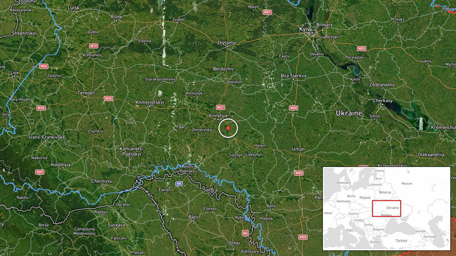
Voronovytsya, a settlement in Vinnytsia Oblast, central Ukraine (49.11°N, 28.69°E). Located approximately 10 kilometres northeast of Zhmerynka and in rolling agricultural terrain of western-central Ukraine. Positioned roughly 200 kilometres southwest of the national capital and within the typical engagement envelope of Russian standoff weapons.
Related events nearby
- Ukrainian air monitoring: 1 Russian jet-powered Shahed (Geran-3) drone from Vinnytsia Oblast toward Tyvriv.2026-10-15 02:22 UTC · Drone Transit · Tyvriv, Ukraine
- Ukrainian air monitoring: 1 Russian jet-powered Shahed (Geran-3) drone from Vinnytsia Oblast toward Illintsi.2026-10-15 02:09 UTC · Drone Transit · Illintsi, Ukraine
- Ukrainian air monitoring: 2+ Russian jet-powered Shahed (Geran-3) drones heading toward Zhmerynka.2026-10-14 03:37 UTC · Drone Transit · Zhmerynka, Ukraine
- Russian jet-powered Shahed (Geran-3) drone tracked transiting from northern Zhytomyr Oblast toward northern Ri2026-10-15 01:52 UTC · Drone Transit · Zhytomyr Oblast, Ukraine
- Ukrainian air monitoring: 1 Russian jet-powered Shahed (Geran-3) drone from Zhytomyr Oblast toward Korostyshiv2026-10-15 02:38 UTC · Drone Transit · Korostyshiv, Ukraine
▶ View this event on the live map

Intel Mapper aggregates open-source reports from monitored Telegram and X channels, geolocates them, cross-checks duplicates across sources and assigns a confidence score. Entries are updated as new confirmations arrive. Read how we verify events.