Russian Shahed drones transit toward Kyiv region; multiple aircraft detected
What happened
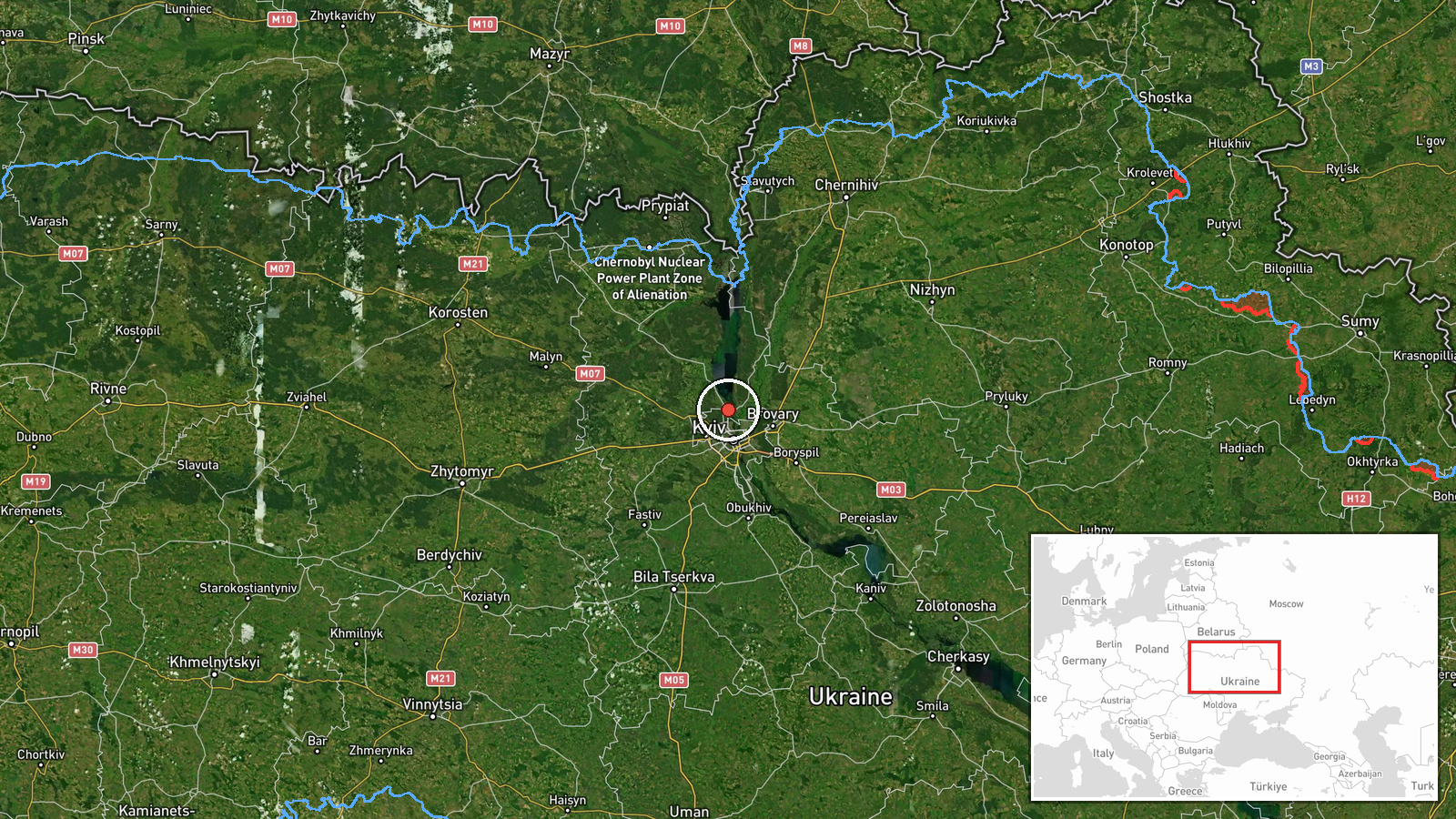
Ukrainian air monitoring reported at least two Russian jet-powered Shahed (Geran-3) drones heading toward Vyshhorod from the north at 05:36 UTC on October 15. The report came from the Ukrainian Air Force command channel. Related detections indicate the drones continued southward toward Kyiv itself minutes later, with at least one additional Shahed tracked passing the Kyiv Reservoir earlier that morning, all heading in the direction of the capital.
Context and assessment
Vyshhorod lies approximately 30 kilometers north of central Kyiv on the Dnieper River and serves as a key transit corridor for Russian air attacks on the capital. The detection of multiple Shahed drones in the same timeframe reflects an intensifying pattern of Russian strikes on Kyiv, occurring amid political tensions following ceasefire announcements. Ukrainian leadership has signaled intent to resume strikes on Russian energy infrastructure despite external pressure, suggesting Moscow may be escalating air operations in response. The Geran-3 variant represents Russia's longer-range loitering munition capability, typically employed against fixed targets and infrastructure.
Sources and confidence
Single source: Telegram channel @kpszsu (Ukrainian Air Force command). Confidence score of 8.0 reflects official Ukrainian military reporting but limited independent cross-confirmation. Score is sustained by consistency with multiple related detections of similar drones in the same corridor within minutes. Confirmation from Ukrainian air defense engagement reports or secondary channels would raise confidence; subsequent impacts or air defense statements would strengthen assessment.
Location
Vyshhorod is a town in Kyiv Oblast, 30 kilometers north-northwest of Kyiv city center on the Dnieper River's right bank. High precision settlement-level geolocation (50.58°N, 30.49°E). The town sits along a major approach corridor for aircraft transiting toward the capital from Russian-held northern territories.
Related events nearby
- Ukrainian air monitoring: 2+ Russian jet-powered Shahed (Geran-3) drones over Kyiv.2026-10-15 05:42 UTC · Drone Transit · Kyiv, Ukraine
- Ukrainian air monitoring: 1 Russian jet-powered Shahed (Geran-3) drone passing Kyiv Reservoir, heading toward 2026-10-15 03:38 UTC · Drone Transit · Kyiv, Ukraine
- President Zelensky expresses disappointment that President Trump has not chosen Ukraine's side, criticizing th2026-10-14 19:49 UTC · Statement · Kyiv, Ukraine
- President Zelensky declares Ukraine will resume strikes on Russian oil refineries despite Trump's ceasefire an2026-10-15 05:24 UTC · Statement · Kyiv, Ukraine
- President Zelensky reiterates that only the Ukrainian people can elect Ukraine's president, rejecting any fore2026-10-14 18:56 UTC · Statement · Kyiv, Ukraine
▶ View this event on the live map

Intel Mapper aggregates open-source reports from monitored Telegram and X channels, geolocates them, cross-checks duplicates across sources and assigns a confidence score. Entries are updated as new confirmations arrive. Read how we verify events.