Russian jet-powered drones reported transiting east of Pavlohrad in Dnipropetrovsk Oblast
What happened
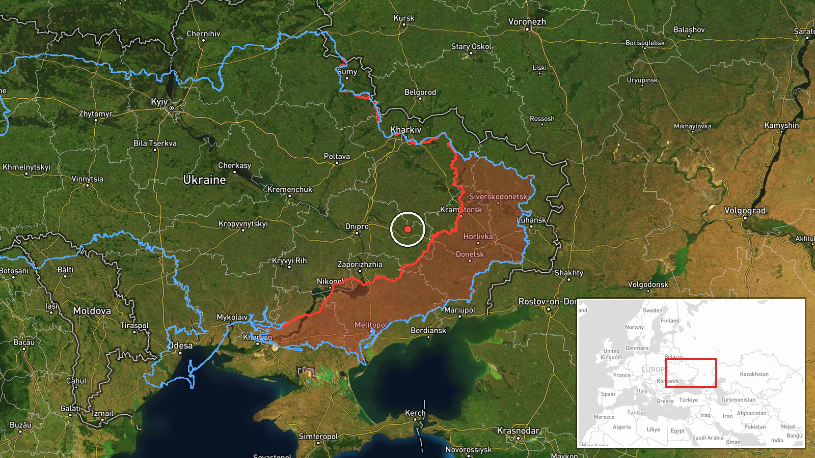
Ukrainian air monitoring channels reported the detection of two or more Russian jet-powered Shahed (Geran-3) drones east of Pavlohrad, Dnipropetrovsk Oblast, on 15 October at approximately 09:52 UTC. The drones were reportedly flying in a northwestern direction. The report was issued by the Kyiv Post's military source (@kpszsu) on Telegram.
Context and assessment
This sighting fits within a broader pattern of Russian drone activity across Dnipropetrovsk Oblast observed throughout the morning of 15 October. Multiple Shahed-type and Geran-3 drones were detected along various trajectories in the region, with additional reports from Lozova, Blyzniuky, and Synelnykove. The concentration of drone transits and the concurrent glide bomb strike near Slavhorod may suggest a coordinated air operation targeting objectives across central and eastern Ukraine. Pavlohrad lies south of Dnipropetrovsk city and remains an industrial and logistical hub; drone activity in its vicinity typically indicates either direct targeting or transit toward more distant objectives.
Sources and confidence
Single source: Telegram channel @kpszsu (Kyiv Post military updates). No corroboration from other open channels reported. Confidence score of 8.0 reflects the established credibility of the source and consistency with related drone sightings on the same date, though lack of secondary confirmation and regional-level location precision introduce modest uncertainty. Additional confirmatory reports from other monitoring channels or visual evidence would strengthen confidence.
Location
East of Pavlohrad, a major city in southern Dnipropetrovsk Oblast approximately 70 km southeast of the regional capital. Location confidence is low due to region-level precision; the exact coordinates represent the city center. Pavlohrad sits in relatively flat terrain and serves as a key node on transport routes connecting central and eastern Ukraine.
Related events nearby
- Russian jet-powered Shahed (Geran-3) drone detected in northern Dnipropetrovsk Oblast near Yuriivka, heading w2026-10-15 10:15 UTC · Drone Transit · Yuriivka, Dnipropetrovsk Oblast, Ukraine
- Ukrainian air monitoring: 1 Russian Shahed-type drone from Kharkiv Oblast toward Lozova.2026-10-15 05:09 UTC · Drone Transit · Lozova, Ukraine
- Ukrainian air monitoring: 1 Russian jet-powered Shahed (Geran-3) drone from Kharkiv Oblast toward Blyzniuky.2026-10-15 03:35 UTC · Drone Transit · Blyzniuky, Ukraine
- Ukrainian air monitoring: 1 Russian Shahed-type drone from Dnipropetrovsk Oblast toward Synelnykove.2026-10-15 02:54 UTC · Drone Transit · Synelnykove, Ukraine
- Ukrainian air monitoring: 1 Russian guided glide bomb (KAB) from Dnipropetrovsk Oblast toward Slavhorod.2026-10-15 01:57 UTC · Airstrike · Slavhorod, Ukraine
▶ View this event on the live map

Intel Mapper aggregates open-source reports from monitored Telegram and X channels, geolocates them, cross-checks duplicates across sources and assigns a confidence score. Entries are updated as new confirmations arrive. Read how we verify events.