Russian Shahed drone tracked toward Obukhiv south of Kyiv
What happened
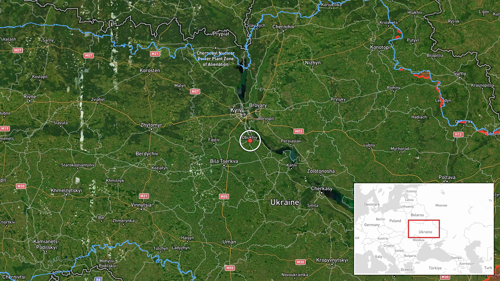
Ukrainian air monitoring reported a single Russian jet-powered Shahed (Geran-3) drone heading toward Obukhiv from the south on October 15 at 17:42 UTC. The report was issued by the Kyiv Regional Military Administration via Telegram. Obukhiv lies approximately 30 kilometers south of central Kyiv. The observation places the drone in transit rather than documenting impact or interception.
Context and assessment
Obukhiv is a significant industrial and logistics hub in Kyiv Oblast, making it a recurring target in Russia's campaign of attrition against Ukrainian infrastructure. On the same day, Ukrainian air monitoring tracked multiple Shahed drones across the greater Kyiv region, including separate transits toward Vasylkiv, Chabany, and Bortnychi. This pattern suggests a coordinated multi-vector drone operation targeting the Kyiv metropolitan area and surrounding industrial zones. The Geran-3 (export designation of the Shahed-131/136) is a loitering munition with sufficient range to conduct strikes deep into Ukrainian territory, and repeated sightings indicate Russia maintains capacity for sustained drone campaigns despite prior interdiction efforts.
Sources and confidence
Single source: Kyiv Regional Military Administration via Telegram (@kpszsu). No independent cross-confirmation reported. Confidence score of 8.0 reflects direct reporting from an official Ukrainian air defense monitoring channel with established track record, though the absence of secondary confirmation and lack of impact assessment leave room for minor uncertainty regarding final drone disposition.
Location
Obukhiv is a city in central Kyiv Oblast, approximately 30 km south-southeast of Kyiv's center (50.11632°N, 30.63329°E). Located on the Stuhna River in relatively open terrain, the city serves as a road and rail junction. Precise location determined by settlement coordinates; precision rated high based on Ukrainian military administrative geography.
Related events nearby
- Ukrainian air monitoring: 1 Russian jet-powered Shahed (Geran-3) drone heading toward Obukhiv.2026-10-15 14:58 UTC · Drone Transit · Obukhiv, Ukraine
- Ukrainian air monitoring: 1 Russian jet-powered Shahed (Geran-3) drone heading toward Vasylkiv.2026-10-15 17:31 UTC · Drone Transit · Vasylkiv, Ukraine
- Ukrainian air monitoring: 1 Russian jet-powered Shahed (Geran-3) drone passing Bila Tserkva, heading toward Va2026-10-15 14:10 UTC · Drone Transit · Vasylkiv, Ukraine
- Ukrainian air monitoring: 1 Russian jet-powered Shahed (Geran-3) drone from Kyiv Oblast toward Chabany.2026-10-15 06:20 UTC · Drone Transit · Chabany, Ukraine
- Ukrainian air monitoring: 1 Russian jet-powered Shahed (Geran-3) drone heading toward Bortnychi, Kyiv.2026-10-15 17:48 UTC · Drone Transit · Bortnychi, Kyiv, Ukraine
▶ View this event on the live map

Intel Mapper aggregates open-source reports from monitored Telegram and X channels, geolocates them, cross-checks duplicates across sources and assigns a confidence score. Entries are updated as new confirmations arrive. Read how we verify events.