Russian Shahed drone tracked toward Pohreby in Vinnytsia Oblast
What happened
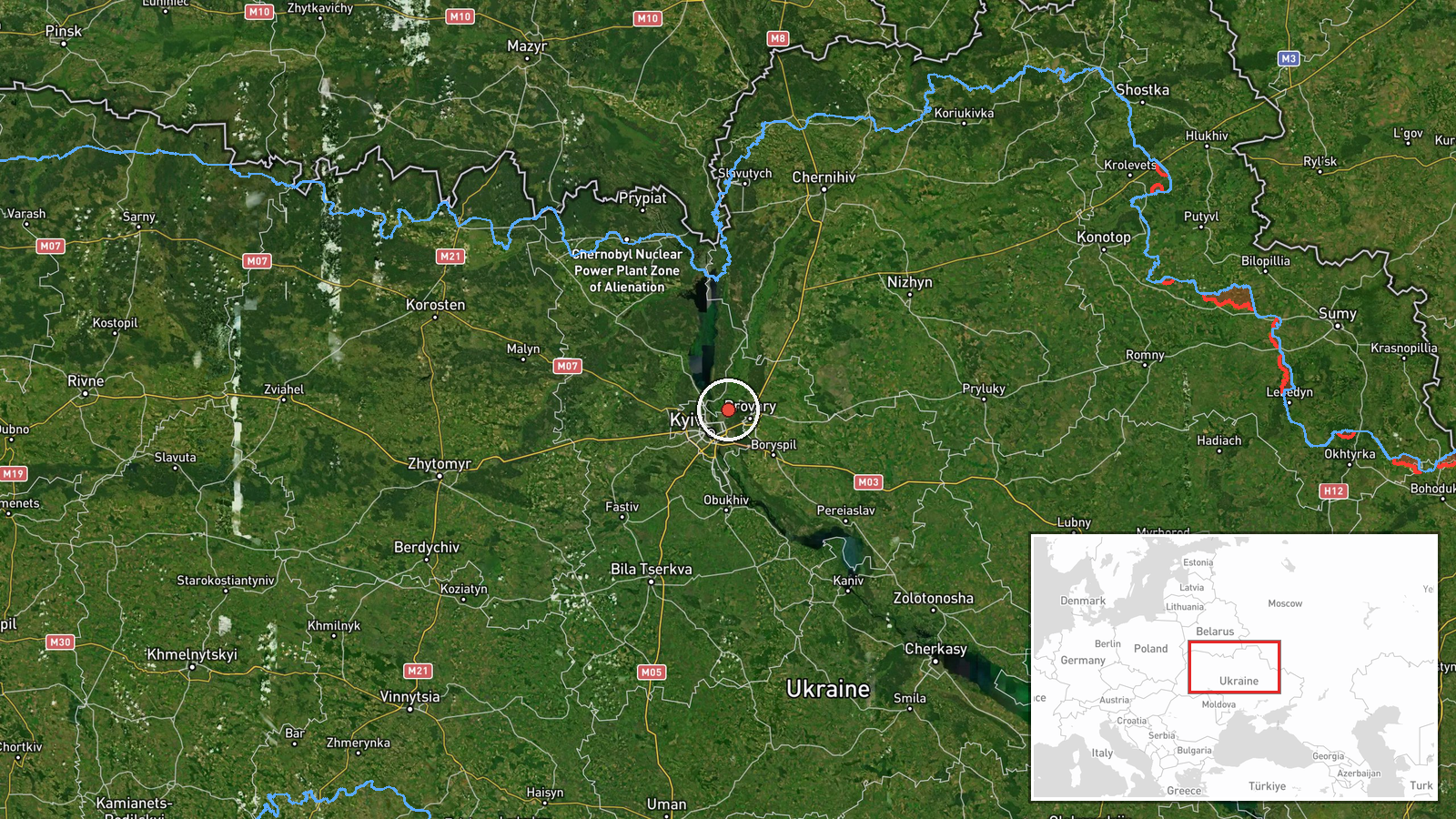
Ukrainian air monitoring reported a single Russian jet-powered Shahed (Geran-3) drone in transit toward Pohreby, a settlement in Vinnytsia Oblast, on October 15 at 18:25 UTC. The report came via the Telegram channel of Ukraine's air defense command (@kpszsu). No interception or impact was reported in the available data. The drone type indicates a cruise-missile-class unmanned platform capable of sustained flight over medium distances.
Context and assessment
Pohreby sits in central Vinnytsia Oblast, roughly 200 kilometers southwest of Kyiv. The sighting occurred during an apparent coordinated wave of Shahed drone transits across central Ukraine on October 15, with simultaneous or near-simultaneous tracks reported over Desna, Lisovyi Masyv, Obolon (Kyiv), and Vyshhorod. This pattern suggests Russia may have launched a multi-vector attack, with Vinnytsia Oblast containing civilian infrastructure, regional administrative centers, and potential industrial targets. Recurring strikes on the region reflect operational pressure on Ukraine's interior lines of communication and civilian morale.
Sources and confidence
Report sourced from @kpszsu (Ukraine's air defense/monitoring Telegram), a primary official channel for real-time air threat alerts. Single-source reporting limits independent cross-confirmation; confidence score of 8.0 reflects the source's institutional credibility but the lack of secondary verification. Corroboration from other Ukrainian channels, air defense statements, or evidence of impact would raise confidence. Retraction or contradiction by @kpszsu would lower it significantly.
Location
Pohreby is a settlement in Vinnytsia Oblast, central Ukraine, at approximately 50.55°N, 30.64°E. It lies in relatively flat agricultural terrain between the regional capital Vinnytsia (roughly 20 km south) and the Dnieper River basin to the east. No major military installations are publicly known in immediate proximity, suggesting civilian or economic targeting.
Related events nearby
- Ukrainian air monitoring: 1 Russian jet-powered Shahed (Geran-3) drone from Chernihiv Oblast toward Desna.2026-10-15 18:07 UTC · Drone Transit · Desna, Ukraine
- Ukrainian air monitoring: 1 Russian jet-powered Shahed (Geran-3) drone heading toward Lisovyi Masyv.2026-10-15 16:53 UTC · Drone Transit · Lisovyi Masyv, Ukraine
- Ukrainian air monitoring: 1 Russian jet-powered Shahed (Geran-3) drone heading toward Obolon, Kyiv.2026-10-15 17:25 UTC · Drone Transit · Obolon, Kyiv, Ukraine
- Ukrainian air monitoring: 1 Russian jet-powered Shahed (Geran-3) drone heading toward Vyshhorod.2026-10-15 16:54 UTC · Drone Transit · Vyshhorod, Ukraine
- Ukrainian air monitoring: 2+ Russian jet-powered Shahed (Geran-3) drones heading toward Vyshhorod.2026-10-15 05:36 UTC · Drone Transit · Vyshhorod, Ukraine
▶ View this event on the live map

Intel Mapper aggregates open-source reports from monitored Telegram and X channels, geolocates them, cross-checks duplicates across sources and assigns a confidence score. Entries are updated as new confirmations arrive. Read how we verify events.