Single jet-powered Shahed (Geran-3) drone reported transiting Odesa Oblast from the Black Sea
What happened
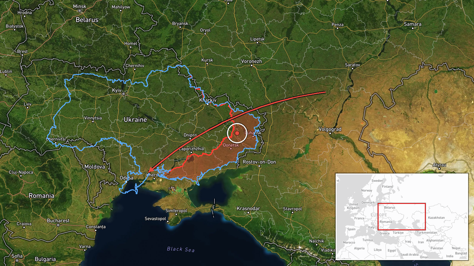
On 16 October 2026, at about 01:05 UTC, the Telegram channel @kpszsu, which carries Ukrainian air monitoring reports, posted a single alert about one Russian jet-powered Shahed, identified as a Geran-3, passing Klyuchi and heading toward Odesa Oblast. The original Ukrainian wording describes a jet-powered UAV moving toward the south of Mykolaiv and Odesa oblasts from the sea. The post does not describe impact, damage, or casualties. It is a transit notice, and it is the only source attached to this event. The report was followed about a minute later by a related alert placing a drone over Odesa Oblast, which appears to be a continuation of the same track rather than a separate object.
Context and assessment
Odesa Oblast has been a recurring focus of Russian long-range drone activity, and the Black Sea approaches allow drones to be launched and routed with limited warning. The related events in this series follow a consistent pattern. On 15 October 2026, monitoring posts logged single Geran-3 drones coming from the Black Sea toward Odesa at 10:52 and 15:59 UTC, and passing through the oblast heading northwest at 11:21 and toward the oblast at 15:20 UTC. Repeated single-drone transits across the same region over roughly 15 hours suggest a sustained pattern, which could mean serial launches, drones rerouted around air defense, or drones probing approaches to the port city. Single-airframe tracks are not by themselves evidence of a coordinated strike, and the notices do not show targets. The jet-powered Geran-3 variant is faster and harder to intercept than the earlier piston-engine Shahed, so each alert carries more weight for air defense planning. Operationally, the series may indicate continued pressure on southwestern Ukraine's ports and energy infrastructure, though this remains an inference from the pattern rather than a confirmed target assessment.
Sources and confidence
The event rests on one Telegram post, and no independent outlet, official statement, or second monitoring channel is attached to it in the data. The related events come from the same kind of air monitoring reporting, so they add pattern context but do not confirm this specific track. The confidence score of 8.0 reflects that the report comes from an established national monitoring channel with a consistent format and that its details match the surrounding series. It is held below the maximum because of the single-source basis. Confidence would rise with corroboration from a second monitoring feed, a regional military administration statement, or later reporting on where the drone ended up. It would fall if later reports suggest the track was misidentified or was a different airframe.
Location
The coordinates (46.48 N, 30.73 E) carry only region-level precision and low location confidence, so the point should be read as an approximation within Odesa Oblast, not a settlement fix. The report names Klyuchi, which is a village in the south of the oblast, while the coordinates sit near the city of Odesa, so the pin likely reflects a regional centroid. The setting is the northwestern Black Sea coast, with the port city, coastal lagoons, and the Dniester estuary farther to the west. The drone's track along the coast explains why the monitoring report names villages in both Odesa and neighboring Mykolaiv areas.
Related events nearby
- Ukrainian air monitoring: jet-powered Shahed (Geran-3) drones tracked over eastern and western Odesa Oblast, h2026-10-16 02:41 UTC · Drone Transit · Odesa Oblast, Ukraine
- Ukrainian air monitoring: 2+ Russian jet-powered Shahed (Geran-3) drones over Odesa.2026-10-16 02:25 UTC · Drone Transit · Odesa, Ukraine
- Ukrainian air monitoring: 1 Russian jet-powered Shahed (Geran-3) drone over Odesa Oblast.2026-10-16 01:06 UTC · Drone Transit · Odesa Oblast, Ukraine
- Ukrainian air monitoring: 1 Russian jet-powered Shahed (Geran-3) drone from Black Sea toward Odesa.2026-10-15 15:59 UTC · Drone Transit · Odesa, Ukraine
- Ukrainian air monitoring: 1 Russian jet-powered Shahed (Geran-3) drone heading toward Odesa Oblast.2026-10-15 15:20 UTC · Drone Transit · Odesa Oblast, Ukraine
▶ View this event on the live map

Intel Mapper aggregates open-source reports from monitored Telegram and X channels, geolocates them, cross-checks duplicates across sources and assigns a confidence score. Entries are updated as new confirmations arrive. Read how we verify events.