Two or more jet-powered Shahed drones reported moving west over northern Odesa on October 16
What happened
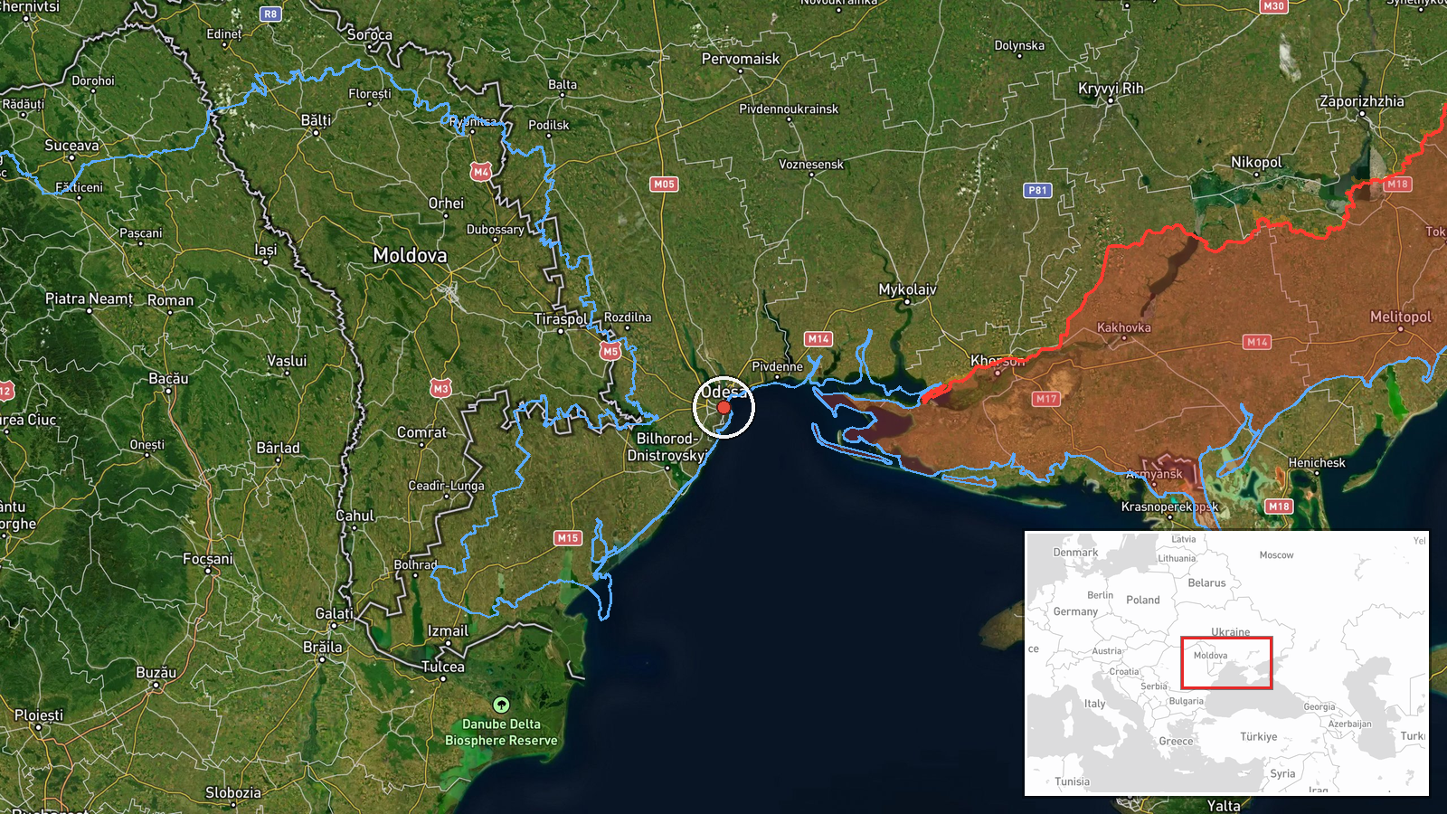
Ukrainian air monitoring posted a Telegram alert, via the channel @kpszsu, reporting at least two Russian jet-powered Shahed (Geran-3) drones on the northern approaches to Odesa, travelling on a westward course. The timestamp in the event record is 02:25 UTC on 16 October 2026, and the coordinates place the report at settlement level within the city of Odesa. The original Ukrainian wording describes the aircraft as jet-powered unmanned aerial vehicles to the north of Odesa, heading west. The post does not mention impacts, casualties, or damage, and no such outcome is recorded in the event data. The report describes transit activity rather than a confirmed strike.
Context and assessment
Odesa is Ukraine's principal Black Sea port and a recurring target of Russian long-range drone campaigns, so drone movements in its airspace draw close attention from local air defence and the public. This event sits within a sequence of Drone Transit reports logged over roughly a day. Earlier entries on 15 October describe single Geran-3 drones heading toward Odesa Oblast from the Black Sea and moving northwest, and a 01:05 UTC report on 16 October tracked one drone passing Klyuchi and heading toward the oblast. A 01:06 UTC entry then placed one drone over Odesa Oblast before this report indicated at least two aircraft over the city's northern side. The rising count and the shift in direction suggest either a new wave of aircraft or several drones following separate routes in the same corridor. Operationally, a pattern of repeated transits along the coast is often read as reconnaissance of air defence positions or as sustained pressure on port infrastructure, though the data alone cannot confirm either purpose. Any intent should be treated as a hypothesis.
Sources and confidence
The event rests on a single Telegram channel, @kpszsu, which is the official account of the Ukrainian Air Force-linked monitoring output. The post carries no independent confirmation in the event data, so the source count is one. The confidence score of 8.0 reflects a credible official origin and a clear, specific message, offset by the absence of a second source and the fact that the count of drones is given as a minimum. Confidence would rise with corroboration from regional military administration statements, radar-based tracking reports, or wire coverage of the same overnight window. It would fall if later official updates revised the number of aircraft or withdrew the direction of travel. Related entries from the same source and channel strengthen the case for consistent reporting.
Location
The location is recorded at settlement level for Odesa, Ukraine, with high location confidence, so the coordinates mark the city rather than a specific facility or street. The report describes drones to the north of Odesa, so the true track likely passed over or near the northern districts and surrounding Odesa Oblast, rather than a fixed point. Odesa sits on the north-western Black Sea coast, with a large port, a long shoreline, and the Dniester estuary and Liman lagoons to the west. Its airspace is exposed to approaches from the sea, which is why many reported drone tracks begin offshore.
Related events nearby
- Ukrainian air monitoring: jet-powered Shahed (Geran-3) drones tracked over eastern and western Odesa Oblast, h2026-10-16 02:41 UTC · Drone Transit · Odesa Oblast, Ukraine
- Ukrainian air monitoring: 1 Russian jet-powered Shahed (Geran-3) drone over Odesa Oblast.2026-10-16 01:06 UTC · Drone Transit · Odesa Oblast, Ukraine
- Ukrainian air monitoring: 1 Russian jet-powered Shahed (Geran-3) drone passing Klyuchi, heading toward Odesa O2026-10-16 01:05 UTC · Drone Transit · Odesa Oblast, Ukraine
- Ukrainian air monitoring: 1 Russian jet-powered Shahed (Geran-3) drone from Black Sea toward Odesa.2026-10-15 15:59 UTC · Drone Transit · Odesa, Ukraine
- Ukrainian air monitoring: 1 Russian jet-powered Shahed (Geran-3) drone heading toward Odesa Oblast.2026-10-15 15:20 UTC · Drone Transit · Odesa Oblast, Ukraine
▶ View this event on the live map

Intel Mapper aggregates open-source reports from monitored Telegram and X channels, geolocates them, cross-checks duplicates across sources and assigns a confidence score. Entries are updated as new confirmations arrive. Read how we verify events.