Ukrainian air monitoring reports one Shahed-type drone heading toward Zolotonosha
What happened
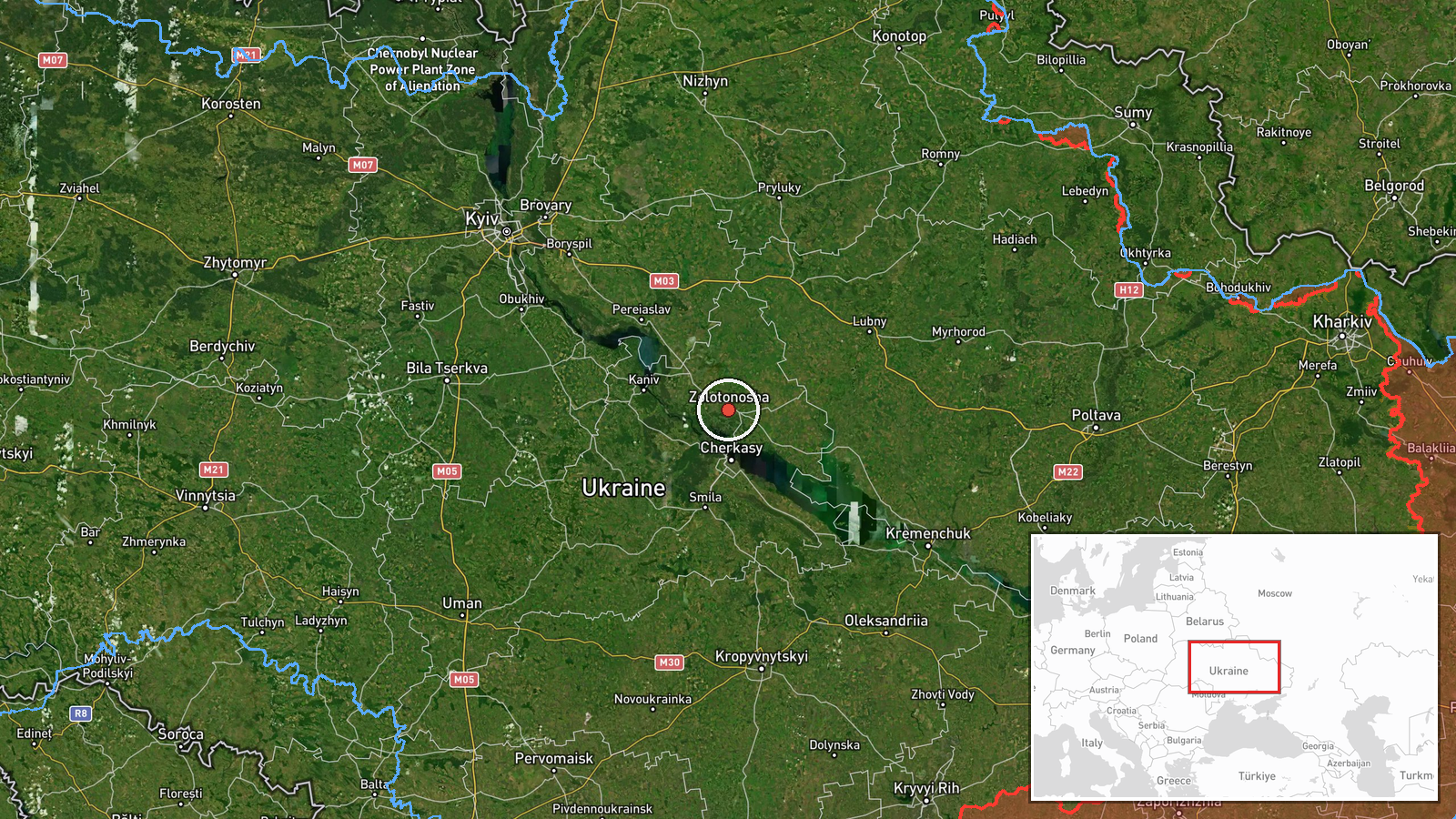
Ukraine's air monitoring channel on Telegram (@kpszsu) reported on 16 October 2026 at 10:29 UTC that one unmanned aerial vehicle was moving toward Zolotonosha in Cherkasy Oblast. The original Ukrainian post said the drone was approaching from the east (зі сходу), a direction phrase the English summary renders simply as heading toward the town. The summary classifies the drone as a Shahed-type design attributed to Russia, but the original post did not name a model. The report contains no information about impact, damage, casualties, or whether the drone was intercepted. No later update was attached to the event at the time of writing, and it is the only monitoring report for this event in the dataset.
Context and assessment
Zolotonosha lies in Cherkasy Oblast in central Ukraine, a region that the related events place under repeated drone traffic over roughly the preceding day. The dataset holds four Drone Transit reports tied to Cherkasy and neighbouring areas: one jet-powered Shahed (Geran-3) toward Cherkasy at 01:49 UTC on 16 October, one from Cherkasy Oblast toward Pereiaslav at 16:24 UTC on 15 October, one from Poltava Oblast toward Pyriatyn at 11:39 UTC on 15 October, and a group of at least two passing northern Kirovohrad Oblast heading west at 04:57 UTC on 16 October. Together they suggest drones moving through a band of central Ukraine rather than targeting one point. The same morning, a larger UAS Strike reported 149 Shahed-type, Gerbera and decoy drones launched from Oryol, occupied Donetsk and Crimea, with 114 downed or suppressed and 27 hits at 24 locations. That event is not confirmed to involve this track, but it points to a wider launch pattern. Transit tracks like this may indicate routing across the interior toward western or northwestern targets, though a single report captures only what monitors saw at one moment, so the drone may have passed near rather than over the town.
Sources and confidence
The event rests on a single Telegram channel, @kpszsu, which posted the Ukrainian-language alert. The dataset lists no second channel and no independent cross-confirmation, so the single-source flag applies. The confidence score of 8.0 is relatively high for one source, reflecting the channel's role in air alerts and the specificity of the report, but it does not replace corroboration. Confidence would rise with a second monitoring or regional administration post, a reported interception, or imagery. It would fall if later reporting shows the track was misidentified or moved away from the town.
Location
The location is recorded at settlement precision for Zolotonosha, Cherkasy Oblast, with location confidence rated high. The coordinates, approximately 49.67 N and 32.04 E, point to the town as a whole rather than a specific facility, since the source named only the settlement. Zolotonosha sits in the central Ukrainian lowlands, a largely flat agricultural landscape with road and rail links that make it a regional transport node. Nearby events in the dataset cluster around Pyriatyn to the east, Pereiaslav to the north-east, and Cherkasy to the south-west.
Related events nearby
- Ukrainian air monitoring: 1 Russian jet-powered Shahed (Geran-3) drone heading toward Cherkasy.2026-10-16 01:49 UTC · Drone Transit · Cherkasy, Ukraine
- Ukrainian air monitoring: 1 Russian jet-powered Shahed (Geran-3) drone from Cherkasy Oblast toward Pereiaslav.2026-10-15 16:24 UTC · Drone Transit · Pereiaslav, Ukraine
- Ukrainian air monitoring: 2+ Russian jet-powered Shahed (Geran-3) drones passing northern Kirovohrad Oblast, h2026-10-16 04:57 UTC · Drone Transit · northern Kirovohrad Oblast, Ukraine
- Russia launched 149 Shahed-type, Gerbera and decoy drones from Oryol, occupied Donetsk and Crimea. 114 downed 2026-10-16 06:42 UTC · UAS Strike · Ukraine
- Ukrainian air monitoring: 2+ Russian jet-powered Shahed (Geran-3) drones from Cherkasy Oblast toward Myronivka2026-10-15 17:32 UTC · Drone Transit · Myronivka, Ukraine
▶ View this event on the live map

Intel Mapper aggregates open-source reports from monitored Telegram and X channels, geolocates them, cross-checks duplicates across sources and assigns a confidence score. Entries are updated as new confirmations arrive. Read how we verify events.