Russia launches 149 drones at Ukraine; 114 reported downed or suppressed
What happened
Ukraine's Air Force, reporting through its Telegram channel @kpszsu, said Russia launched 149 attack drones overnight into 16 October, beginning at 18:00 on 15 October. The drones were described as Shahed-type strike drones, 108 of them jet-powered, along with Gerbera decoys and Parodiya-type imitator drones. Launch directions were listed as Oryol in Russia, occupied Donetsk, and occupied Crimea near Hvardiiske. Preliminary figures as of 09:30 gave 114 drones downed or suppressed, including 77 jet-powered Shaheds. Air defence, aviation, missile units, electronic warfare teams and mobile fire groups were named as responders. Twenty-seven drones or decoys were recorded hitting 24 locations, and falling debris was reported at 14 locations. The excerpt cuts off mid-list, so the full location details are not available.
Context and assessment
The significance of this report lies less in a single location than in the pattern it fits. Ukrainian air monitoring posts logged individual jet-powered Shahed drones, called Geran-3 in those reports, passing northern Kirovohrad Oblast and areas north and south of Kropyvnytskyi, with one heading toward Cherkasy and others passing through Cherkasy Oblast on 15 and 16 October. Several were heading west or northwest. Taken together, these transit reports suggest that drones were moving across central Ukraine on routes well away from the front lines, toward western and central regions, a corridor often used to reach targets deep inside the country. The overnight count itself points to a mixed package. Jet-powered Shaheds are faster and harder to intercept than older propeller models, and decoys such as Gerbera and Parodiya are commonly used to draw interceptors and radar attention before heavier strikes arrive. Operationally, a large mixed wave of this kind may be intended to saturate air defence and strain interceptor stocks as much as to hit a fixed target. Because the excerpt names no impact points, that reading remains a hypothesis rather than a established finding. The Crimean launch direction near Hvardiiske also shows that occupied territory in the south is being used as a launch and staging area.
Sources and confidence
Two channels are listed: the Ukrainian Air Force Telegram channel (@kpszsu) and the General Staff channel (@GeneralStaffZSU). Both are official Ukrainian channels, so cross-confirmation is institutional rather than independent, and the second listing probably draws on the same underlying data. The confidence score of 9.1 reflects an official origin, two listed channels, and specific, time-stamped counts. The report is not marked as corrected. The score would fall if later official statements materially revised the figures or if independent monitoring disputed them. It would rise with impact confirmation from local authorities, debris photographs, or independent verification.
Location
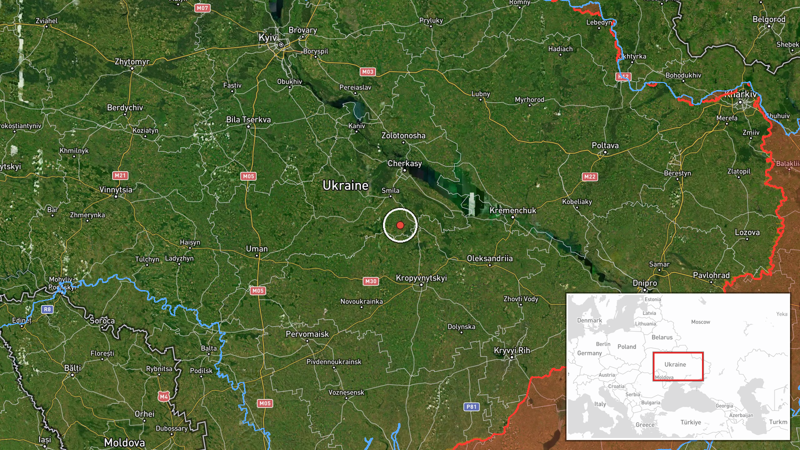
The coordinates, 49.0 N and 32.0 E, form a generalized point in central Ukraine near the Kirovohrad and Cherkasy region rather than a verified settlement, even though the record is tagged as settlement-level precision. The pin should be read as an approximate area. The excerpt names launch areas in Oryol, occupied Donetsk and occupied Crimea, but no specific impact settlements. The surrounding terrain is largely open agricultural land along the Dnipro basin, with rivers and road corridors shaping likely drone routes.
Related events nearby
- Ukrainian air monitoring: 2+ Russian jet-powered Shahed (Geran-3) drones passing northern Kirovohrad Oblast, h2026-10-16 04:57 UTC · Drone Transit · northern Kirovohrad Oblast, Ukraine
- Ukrainian air monitoring: 1 Russian jet-powered Shahed (Geran-3) drone passing north of Kropyvnytskyi, heading2026-10-16 01:21 UTC · Drone Transit · north of Kropyvnytskyi, Ukraine
- Ukrainian air monitoring: 1 Russian jet-powered Shahed (Geran-3) drone heading toward Cherkasy.2026-10-16 01:49 UTC · Drone Transit · Cherkasy, Ukraine
- Ukrainian air monitoring: 1 Russian jet-powered Shahed (Geran-3) drone passing south of Kropyvnytskyi, heading2026-10-16 01:23 UTC · Drone Transit · south of Kropyvnytskyi, Ukraine
- Ukrainian air monitoring: 2+ Russian jet-powered Shahed (Geran-3) drones heading toward Kremenchuk.2026-10-16 01:08 UTC · Drone Transit · Kremenchuk, Ukraine
▶ View this event on the live map

Intel Mapper aggregates open-source reports from monitored Telegram and X channels, geolocates them, cross-checks duplicates across sources and assigns a confidence score. Entries are updated as new confirmations arrive. Read how we verify events.