Single Ukrainian monitoring report places jet-powered Shahed drone transiting Kropyvnytskyi
What happened
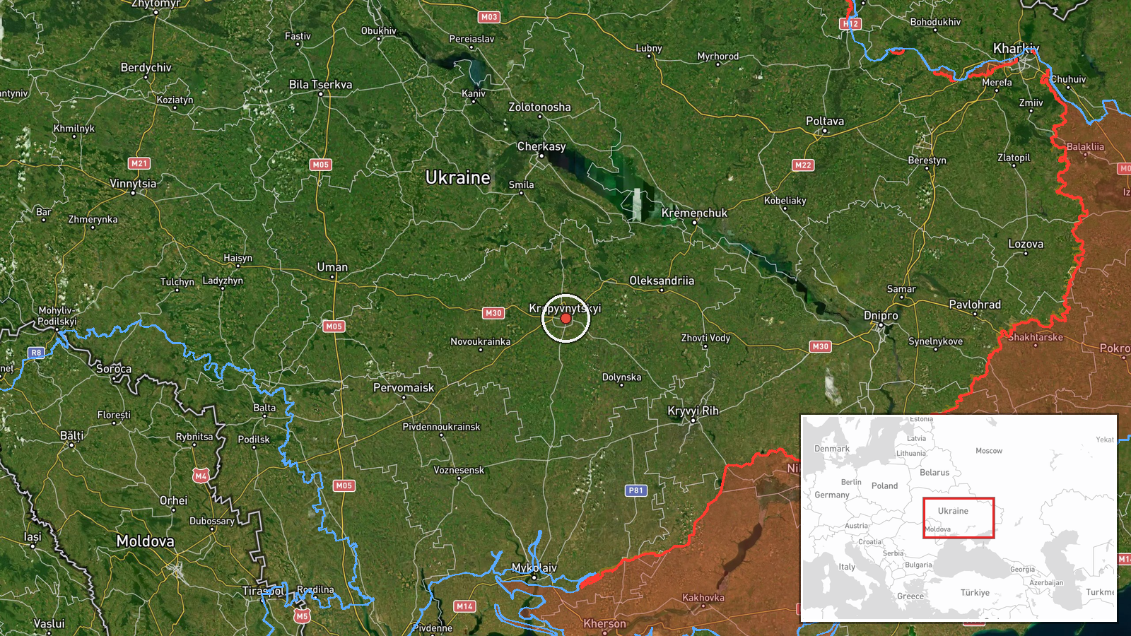
Ukrainian air monitoring reported one Russian jet-powered Shahed-type drone, identified in the report as a Geran-3, in the Kropyvnytskyi area at 01:23 UTC on 16 October 2026. The original Ukrainian-language post describes a jet-powered unmanned aerial vehicle south of Kropyvnytskyi moving on a westward course, while the English summary places the drone directly over the city. The item was logged as a drone transit rather than an impact, and no strike, damage, or casualties are reported in the data. The report appeared on the Telegram channel @kpszsu, which is the only source attached to this event. Two earlier monitoring reports in the same city, at 01:04 and 01:21 UTC, also describe drones passing through the area.
Context and assessment
Kropyvnytskyi, the administrative center of Kirovohrad Oblast in central Ukraine, lies far behind the front line and along routes that drones have used to cross the country toward western and central targets. Its significance in this record is less about the city itself than about the corridor it sits on. Related entries from the previous day place similar jet-powered Geran-3 drones passing through Kirovohrad Oblast at 01:55 UTC, heading northwest, and again at 10:56 UTC on 15 October. A separate air defense entry from 05:03 UTC on 15 October reports that Ukrainian air defenses downed or suppressed 536 Russian Shahed-type, Geran, and decoy drones over the night of 14 to 15 October, indicating a large overnight raid of which these transits may be part. The cluster of reports in Kropyvnytskyi within about twenty minutes suggests either a single drone tracked across several monitoring posts or several drones on a similar path. Operationally, transit reports of this kind are consistent with long-range drones moving through the region toward other targets, though the data alone cannot confirm their intended destination.
Sources and confidence
All information in this entry comes from a single Telegram channel, @kpszsu, which is a Ukrainian air-monitoring account. No second outlet has been attached to the event, so cross-confirmation is absent. The confidence score of 8.0 reflects a clear, specific, timestamped report that fits a pattern of similar monitoring reports, offset by reliance on one channel. Confidence would rise with independent confirmation from another monitoring source, regional military administration, or local reporting, and would fall if corrections or conflicting accounts emerged. The entry is not marked as corrected.
Location
The location is recorded at settlement precision and rated high confidence, placing the entry at the city of Kropyvnytskyi rather than a specific facility. The city, the administrative center of Kirovohrad Oblast, sits in central Ukraine on the Inhul River, in a largely agricultural plain. The original report places the drone south of the city, so the map marker reflects the urban center rather than the drone's exact track.
Related events nearby
- Ukrainian air monitoring: 1 Russian jet-powered Shahed (Geran-3) drone over Kropyvnytskyi.2026-10-16 01:21 UTC · Drone Transit · Kropyvnytskyi, Ukraine
- Ukrainian air monitoring: 1 Russian Shahed-type drone over Kropyvnytskyi.2026-10-16 01:04 UTC · Drone Transit · Kropyvnytskyi, Ukraine
- Ukrainian air monitoring: 1 Russian jet-powered Shahed (Geran-3) drone over Kirovohrad Oblast.2026-10-15 10:56 UTC · Drone Transit · Kirovohrad Oblast, Ukraine
- Ukrainian air defenses downed/suppressed 536 Russian Shahed-type drones, Geran drones, and decoy drones from n2026-10-15 05:03 UTC · Air Defense · Ukraine
- Ukrainian air monitoring: 1 Russian jet-powered Shahed (Geran-3) drone heading toward Cherkasy.2026-10-16 01:49 UTC · Drone Transit · Cherkasy, Ukraine
▶ View this event on the live map

Intel Mapper aggregates open-source reports from monitored Telegram and X channels, geolocates them, cross-checks duplicates across sources and assigns a confidence score. Entries are updated as new confirmations arrive. Read how we verify events.