Ukrainian air monitoring reports 2+ jet-powered Shahed (Geran-3) drones heading toward Kovel
What happened
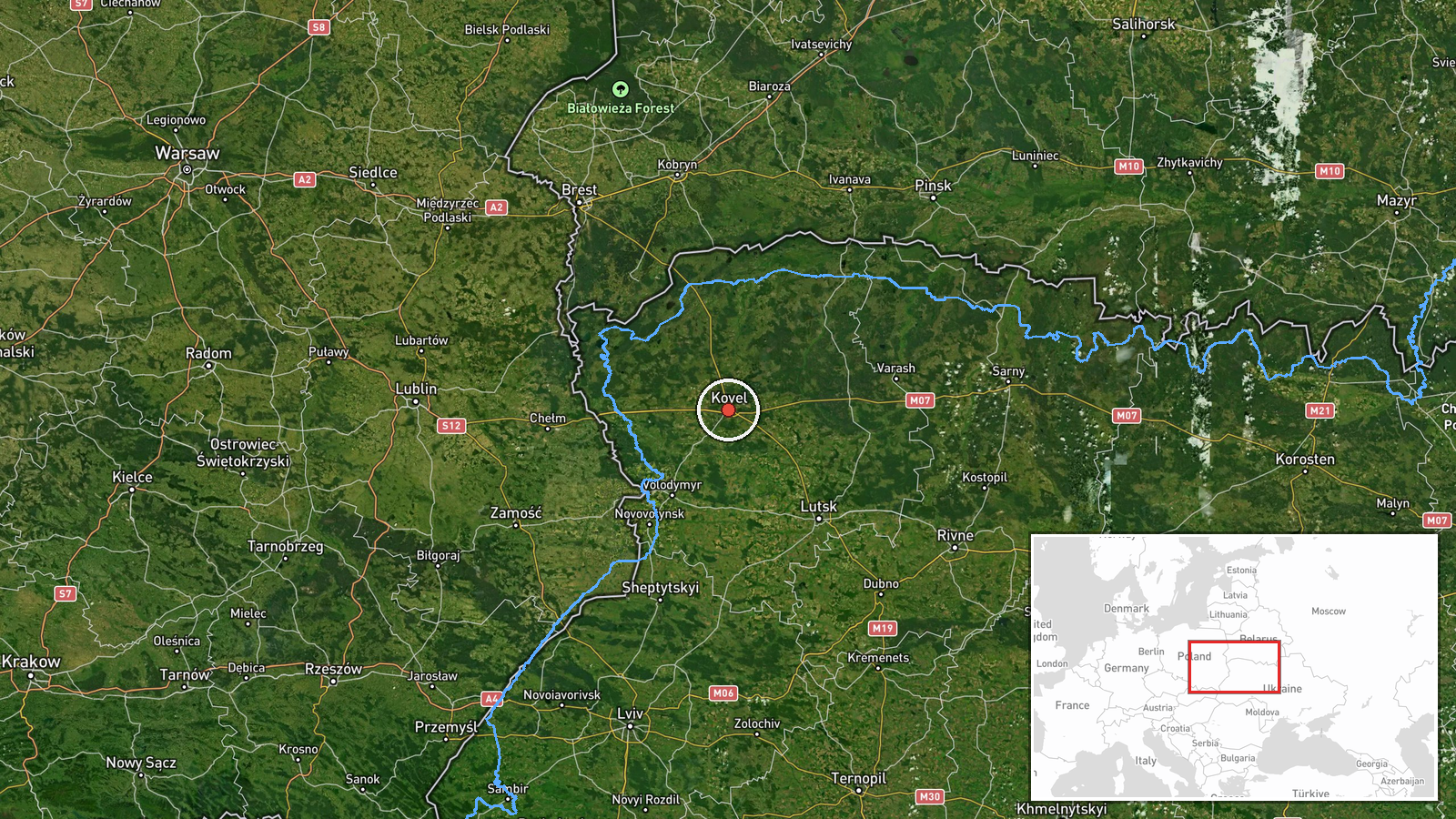
Ukrainian air monitoring reported on 16 October 2026 at 14:32 UTC that two or more Russian jet-powered Shahed (Geran-3) drones were heading toward Kovel, a city in Volyn Oblast in northwestern Ukraine. The report came from a single Telegram channel, @kpszsu, and its original wording was brief: 'Реактивні БпЛА на Ковель' ('Jet UAVs toward Kovel'). The post identifies the drones' heading but does not state whether they struck anything, where they were at the time of the post, or whether any damage or casualties occurred. The event is classified as a drone transit, meaning the report concerns movement toward the location rather than confirmed impact there.
Context and assessment
Kovel's position matters because it sits in the northwest, within relatively short flight distance of the Belarusian border, and it lies on rail and road routes that carry traffic between western and central Ukraine. The related events show a sustained pattern over the previous day. Early on 16 October a single drone was reported heading toward Kovel. On 15 October, a group of two or more drones was reported over northern Volyn Oblast, with a separate single drone reported from Volyn toward Manevychi. Later that afternoon, a group of two or more was reported moving from Volyn toward Kovel. On 16 October at 12:33, a group from Rivne Oblast was reported heading toward Volyn Oblast. Taken together, these reports suggest repeated flights through the Volyn corridor and a focus on Kovel as a waypoint or intended destination. Operationally, this could indicate route-testing, saturation of air defence in the region, or strikes aimed at infrastructure in the Kovel area. The data alone does not establish which of these applies, and the pattern should be read as indicative rather than conclusive.
Sources and confidence
All the event data rests on one Telegram channel, @kpszsu, which is attributed to Ukrainian air monitoring. Its reports are generally used as a first alert for aerial threats, but the channel is a single source and no independent outlet has confirmed this specific post in the data provided. The confidence score of 8.0 reflects a credible official monitoring channel with consistent related reporting, offset by the lack of cross-confirmation and the absence of follow-up detail. Confidence would rise if other monitoring bodies, local officials in Volyn Oblast, or independent observers corroborated the heading or reported any impact. It would fall if later updates indicated the drones were diverted, intercepted elsewhere, or never approached Kovel.
Location
The location is given at settlement level for Kovel, with coordinates of approximately 51.22 N and 24.70 E, and the location confidence is high. The point marks the city itself, not a specific facility, so no particular installation is identified. Kovel lies in the Volyn region of northwestern Ukraine, in the wider Polesia lowlands, an area of flat terrain, forests, and wetlands. The Turiya River runs through the city, and the surrounding landscape is generally open to the north and east, with dense woodland and marshy ground in parts of the region.
Related events nearby
- Ukrainian air monitoring: 1 Russian jet-powered Shahed (Geran-3) drone heading toward Kovel.2026-10-16 06:35 UTC · Drone Transit · Kovel, Ukraine
- Ukrainian air monitoring: 1 Russian jet-powered Shahed (Geran-3) drone from northern Rivne Oblast toward Volyn2026-10-16 14:32 UTC · Drone Transit · Volyn Oblast, Ukraine
- Ukrainian air monitoring: 2+ Russian jet-powered Shahed (Geran-3) drones from Rivne Oblast toward Volyn Oblast2026-10-16 12:33 UTC · Drone Transit · Volyn Oblast, Ukraine
- Ukrainian air monitoring: 1 Russian jet-powered Shahed (Geran-3) drone from Rivne Oblast toward Lutsk.2026-10-16 12:15 UTC · Drone Transit · Lutsk, Ukraine
- Ukrainian air monitoring: 1 Russian jet-powered Shahed (Geran-3) drone heading toward Lutsk.2026-10-16 02:26 UTC · Drone Transit · Lutsk, Ukraine
▶ View this event on the live map

Intel Mapper aggregates open-source reports from monitored Telegram and X channels, geolocates them, cross-checks duplicates across sources and assigns a confidence score. Entries are updated as new confirmations arrive. Read how we verify events.