Single Shahed-type drone reported heading toward Vinnytsia, per Ukrainian air monitoring channel
What happened
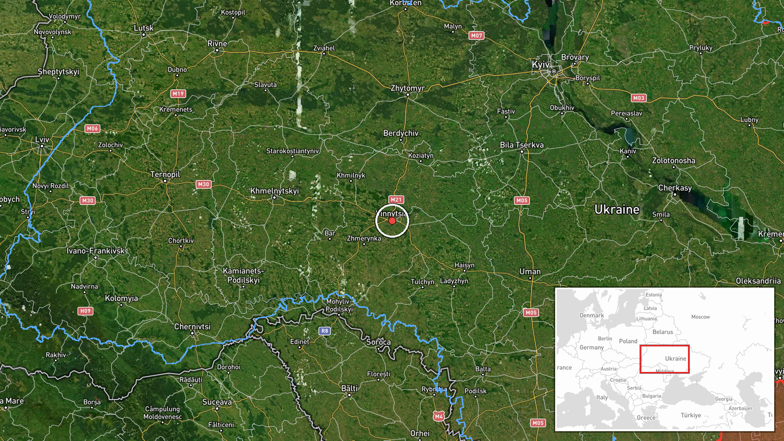
Ukrainian air monitoring posted on Telegram (@kpszsu) on 16 October 2026 at about 18:36 UTC that one Russian Shahed-type drone was heading toward Vinnytsia from the east. The original Ukrainian-language post describes it as a strike UAV on a course for Vinnytsia coming from the east. The report is a brief transit notice and does not describe any impact, damage, or casualties. The location is mapped to the city of Vinnytsia in west-central Ukraine. The alert is one of several drone-transit notices for the oblast logged that same afternoon.
Context and assessment
Vinnytsia sits on the Southern Bug in west-central Ukraine, well behind the front line, and it hosts regional administration, transport links, and industrial sites. Drones heading toward the city are therefore a standard feature of long-range strike campaigns that route Shahed-type aircraft across central Ukraine toward western targets. The related reports from the same day show a steady sequence: drones moving from Odesa Oblast toward Vinnytsia Oblast at 10:18 and 12:28, a jet-powered Geran-3 over Vinnytsia city at 14:31, two or more further Geran-3 drones passing the oblast heading west at 14:32, and a drone heading toward Zhytomyr Oblast around 14:40. Operationally, this pattern suggests a multi-axis flight path through central Ukraine rather than a single targeted approach. Such transits are often used to stretch air defenses and to probe corridors toward western regions. Whether this particular drone was aimed at Vinnytsia itself cannot be established from the notice alone.
Sources and confidence
The report rests on a single Telegram channel, @kpszsu, which carries Ukrainian air monitoring alerts. No second outlet has independently confirmed this specific drone. The confidence score of 8.0 reflects a credible official-style monitoring source with a precise timestamp and a consistent pattern with other same-day alerts, but it is capped by single-channel sourcing and the absence of any corroborating track or impact report. Confidence would rise with independent confirmation from air force or regional authorities, or with radar-based corroboration. It would fall if later updates showed the drone was tracked elsewhere or if the alert was revised.
Location
The location is mapped at settlement precision to the city of Vinnytsia, with high location confidence, because the source names the city directly. The coordinates are approximately 49.23 N, 28.47 E. Vinnytsia lies on the Southern Bug River in the Podolia region of west-central Ukraine. The surrounding terrain is largely rolling farmland and forest, with the river and its valley as the main natural feature. Nearby the city are the regional airport and major road and rail routes west and east.
Related events nearby
- Ukrainian air monitoring: 1 Russian Shahed-type drone passing Vinnytsia Oblast, heading west; 1 Russian Shahed2026-10-16 14:40 UTC · Drone Transit · Vinnytsia Oblast, Ukraine
- Ukrainian air monitoring: 2+ Russian jet-powered Shahed (Geran-3) drones passing Vinnytsia Oblast, heading wes2026-10-16 14:32 UTC · Drone Transit · Vinnytsia Oblast, Ukraine
- Ukrainian air monitoring: 1 Russian jet-powered Shahed (Geran-3) drone over Vinnytsia.2026-10-16 14:31 UTC · Drone Transit · Vinnytsia, Ukraine
- Ukrainian air monitoring: 1 Russian jet-powered Shahed (Geran-3) drone from Odesa Oblast toward Vinnytsia Obla2026-10-16 12:28 UTC · Drone Transit · Vinnytsia Oblast, Ukraine
- Ukrainian air monitoring: 1 Russian jet-powered Shahed (Geran-3) drone from Odesa Oblast toward Vinnytsia Obla2026-10-16 10:18 UTC · Drone Transit · Vinnytsia Oblast, Ukraine
▶ View this event on the live map

Intel Mapper aggregates open-source reports from monitored Telegram and X channels, geolocates them, cross-checks duplicates across sources and assigns a confidence score. Entries are updated as new confirmations arrive. Read how we verify events.