Ukrainian air monitoring reports a single Shahed-type drone heading toward Kyiv from the north
What happened
Ukrainian air monitoring reported on Telegram that a single Russian Shahed-type drone was heading toward Kyiv from the north, with the alert logged at 01:36 UTC on 17 October 2026. The channel's original post, written in Ukrainian as a drone alert with a moped-style marker, describes one unmanned aerial vehicle (БпЛА) approaching the city from the north. The report does not give a track number, altitude, impact point, or any damage assessment, and it does not say whether the drone was later intercepted or lost. The entry is marked as a Drone Transit event, meaning the record concerns the drone's approach and passage rather than a confirmed strike. The event is attributed to Russia on the basis of the drone type and the wider air campaign, not on a separate statement.
Context and assessment
This alert sits within a dense sequence of drone transits over the Kyiv region on 16 October 2026. Between 14:33 and 20:18 UTC the same monitoring feed logged five separate single-drone reports: one from Chernihiv Oblast toward Kyiv Oblast, one from Cherkasy Oblast, one over Vyshhorod heading toward Kyiv, one passing Slavutych, and one passing Drabiv. Two of the earlier reports describe jet-powered Geran-3 variants, which suggests a mix of piston-engine and jet-type drones in the same corridor. The pattern of drones entering from several oblasts and converging on the capital region is consistent with a sustained campaign of single or small-group flights intended to saturate air defence and keep alert systems active rather than a single raid. The northern approach in this report fits the earlier tracks, which also came from the north and northeast. Operationally, a lone drone reported this close to the city centre may be a probing or decoy element, or the tail end of a longer wave, but the data alone does not establish which. Analysts would normally look for follow-on reports from the same corridor in the hours after the alert to judge whether this was an isolated flight or part of a larger package.
Sources and confidence
The report comes from one channel, the Telegram account @kpszsu, which is the official account of the Ukrainian Air Force and is widely used for real-time air alerts. No independent outlet or second channel in the dataset confirms this specific drone, so cross-confirmation is absent. The confidence score of 8.0 reflects the authority of the source and its consistent pattern of alerts, which the related events support, but it is not higher because the single-source status cannot be checked against independent observation. Confidence would rise with a second channel, radar-based corroboration, or an official statement on interception or impact. It would fall if the Air Force later revised or withdrew the alert, or if the drone's track were shown to lie outside the Kyiv approach.
Location
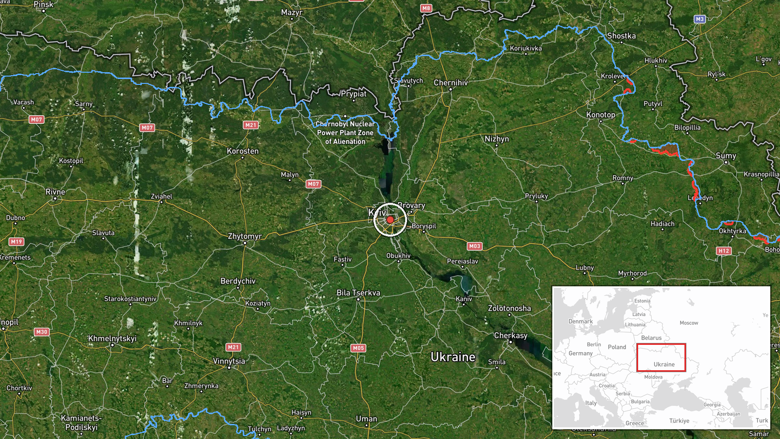
The location is recorded at settlement level for Kyiv city, at coordinates 50.45 N, 30.52 E, with high location confidence. The alert specifies the approach direction, north of the city, but not a precise point of passage, so the marker sits at the city centre rather than on the drone's actual track. Kyiv lies on the Dnipro River in north-central Ukraine, and the northern approach crosses the river's floodplain and the wooded areas around the city's northern districts. The city's dense urban layout and the nearby Kyiv Reservoir are notable features of the surrounding terrain.
Related events nearby
- Ukrainian air monitoring: 1 Russian jet-powered Shahed (Geran-3) drone passing Drabiv, heading toward Kyiv Obl2026-10-16 20:18 UTC · Drone Transit · Kyiv Oblast, Ukraine
- Ukrainian air monitoring: 1 Russian Shahed-type drone passing Slavutych, heading toward Kyiv Oblast.2026-10-16 17:03 UTC · Drone Transit · Kyiv Oblast, Ukraine
- Ukrainian air monitoring: 1 Russian jet-powered Shahed (Geran-3) drone passing Vyshhorod, heading toward Kyiv.2026-10-16 14:41 UTC · Drone Transit · Kyiv, Ukraine
- Ukrainian air monitoring: 1 Russian Shahed-type drone from Cherkasy Oblast toward Kyiv Oblast.2026-10-16 14:40 UTC · Drone Transit · Kyiv Oblast, Ukraine
- Ukrainian air monitoring: 1 Russian Shahed-type drone from Chernihiv Oblast toward Kyiv Oblast.2026-10-16 14:33 UTC · Drone Transit · Kyiv Oblast, Ukraine
▶ View this event on the live map

Intel Mapper aggregates open-source reports from monitored Telegram and X channels, geolocates them, cross-checks duplicates across sources and assigns a confidence score. Entries are updated as new confirmations arrive. Read how we verify events.