Shahed-type drone reported heading toward Kyiv from north; jet-powered drone seen near Hlevakha
What happened
Ukrainian air monitoring, as relayed on the Telegram channel @kpszsu, reported at 04:07 UTC on 17 October 2026 that one Russian Shahed-type drone was heading toward Kyiv from the north. The same post, in its original Ukrainian wording, noted a separate jet-powered Shahed-type drone, identified in the summary as a Geran-3, passing near Hlevakha on a westerly course. The report does not describe any impact, damage, or casualties, and it reads as a transit observation rather than a strike report. The summary says 'heading toward' Kyiv, which signals an observed trajectory rather than a confirmed target. Because this is a single-channel relay of monitoring data, the details reflect what the post published at that moment and have not been matched to an independent impact report.
Context and assessment
Kyiv has been a recurring focus of drone traffic in this period. The related events show a steady sequence of Shahed-type transits over roughly the previous fifteen hours, beginning with sightings near Vyshhorod and Slavutych on the afternoon of 16 October, a jet-powered Geran-3 passing Drabiv that evening, a single drone heading toward the capital around 01:36 UTC, and a multi-drone track from western Chernihiv Oblast toward Kyiv Oblast about eight minutes before this report, including one drone passing Vyshhorod district. The pattern is one of repeated approaches along northern and western corridors into the capital region rather than a single isolated event. Monitoring at this density usually means individual drones are being tracked across successive air-defence zones, with tracks overlapping in time. The mix of standard Shahed-type airframes and jet-powered Geran-3 variants is also notable, since jet variants are generally faster and can shorten the time available for interception. Operationally, such a sequence may indicate ongoing probing or sustained pressure on the capital's approaches, although the data alone cannot establish intent or whether any drone was aimed at a specific facility.
Sources and confidence
Only one channel, Telegram @kpszsu, is listed, and the source count is one. The confidence score of 8.0 reflects that the channel publishes timestamped, track-based air-monitoring messages that are usually specific about direction and location, but the report has not yet been cross-confirmed by a second independent feed, a public official statement, or an impact report. Confidence would rise with corroboration from other air-monitoring outlets or official Ukrainian air-force updates, or with reports from Kyiv city authorities. It would fall if later updates revised the drone type or track, or if the timeline could not be reconciled with the related reports.
Location
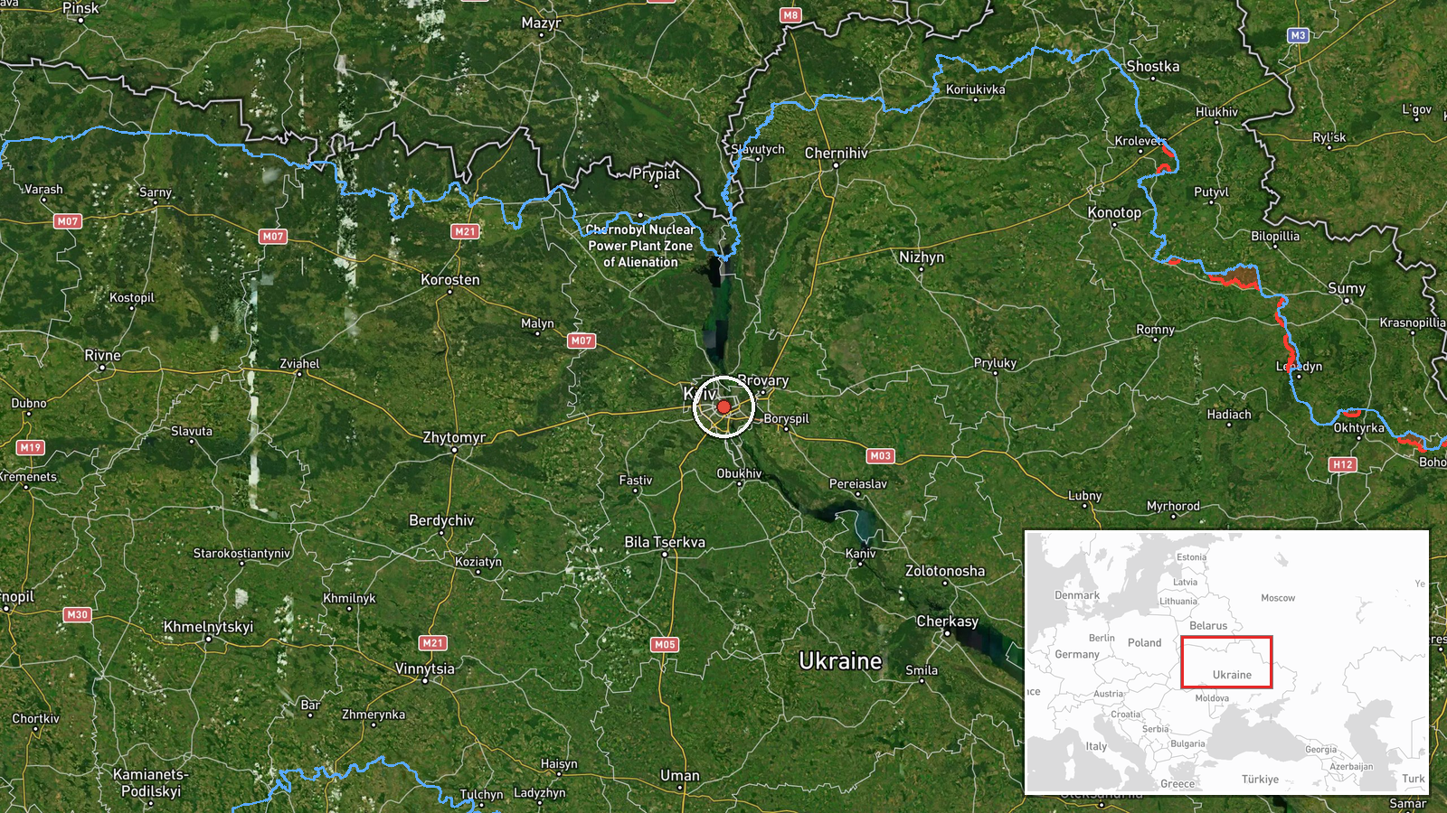
The event is placed at settlement precision for Kyiv city, at coordinates 50.45 N, 30.52 E, with high location confidence. The first drone is described as approaching from the north toward the capital, while the jet-powered drone was noted near Hlevakha, a settlement in Kyiv Oblast on the western side of the wider capital region. Kyiv sits on both banks of the Dnipro River, and the river valley, reservoirs, and wooded areas around the city shape the approach routes that drones typically follow.
Related events nearby
- Ukrainian air monitoring: 3+ Russian Shahed-type drones from western Chernihiv Oblast toward Kyiv Oblast; 1 Ru2026-10-17 03:59 UTC · Drone Transit · Kyiv Oblast, Ukraine
- Ukrainian air monitoring: 1 Russian Shahed-type drone heading toward Kyiv.2026-10-17 01:36 UTC · Drone Transit · Kyiv, Ukraine
- Ukrainian air monitoring: 1 Russian jet-powered Shahed (Geran-3) drone passing Drabiv, heading toward Kyiv Obl2026-10-16 20:18 UTC · Drone Transit · Kyiv Oblast, Ukraine
- Ukrainian air monitoring: 1 Russian Shahed-type drone passing Slavutych, heading toward Kyiv Oblast.2026-10-16 17:03 UTC · Drone Transit · Kyiv Oblast, Ukraine
- Ukrainian air monitoring: 1 Russian jet-powered Shahed (Geran-3) drone passing Vyshhorod, heading toward Kyiv.2026-10-16 14:41 UTC · Drone Transit · Kyiv, Ukraine
▶ View this event on the live map

Intel Mapper aggregates open-source reports from monitored Telegram and X channels, geolocates them, cross-checks duplicates across sources and assigns a confidence score. Entries are updated as new confirmations arrive. Read how we verify events.