Russian jet-powered Shahed drone reported passing Snovsk, Chernihiv Oblast, heading south
What happened
Ukraine's air monitoring channel on Telegram, listed in the data as @kpszsu, reported at 12:40 UTC on 17 October 2026 that one Russian jet-powered Shahed-type drone, designated Geran-3 in the report, was passing Snovsk and heading south. The original Ukrainian wording describes a jet-type UAV passing Snovsk in a southern direction. The message is an air-picture notice rather than a description of impact. It records no strike, casualties, or damage at Snovsk, and the data does not show the drone's intended target or whether it was intercepted. The event is classified as a drone transit.
Context and assessment
Snovsk lies in northern Chernihiv Oblast close to the Russian border and the Bryansk region, so drones moving through this area are typically tracked on routes that enter Ukrainian airspace from the north. The data places this report within a cluster of related alerts. Earlier that day, at 00:07, more than three Shahed-type drones were reported over northern Chernihiv Oblast. At 00:39 a drone from Kyiv Oblast was reported heading toward Sedniv. At 07:10 a drone from Bryansk was reported heading toward northern Chernihiv Oblast, and at 07:12 a drone was reported heading toward Snovsk itself. Later, at 11:11, a drone was reported heading toward Koryukivka. The repeated appearance of the same northern towns suggests several Geran-3 tracks crossing overlapping corridors over about twelve hours. Operationally, such patterns may point to routing toward targets further south or east, or may reflect air defense and electronic warfare forcing course changes. The reports alone do not establish intent. The jet-powered variant is faster than the piston-engine Geran-2, which narrows warning windows for communities along the route.
Sources and confidence
The event rests on a single channel, Telegram @kpszsu, with a source count of one and no corroborating reports in the dataset. The confidence score of 8.0 reflects the official-channel origin, the specific timestamp, and the clear wording of the alert. It is held below the top range because the report is single-source and describes only a transit, not an observed outcome. Confidence would rise with corroboration from other Ukrainian air force feeds, regional military administration statements, or independent flight-track data. It would fall if the alert were corrected or withdrawn, or if other feeds reported a different track or time.
Location
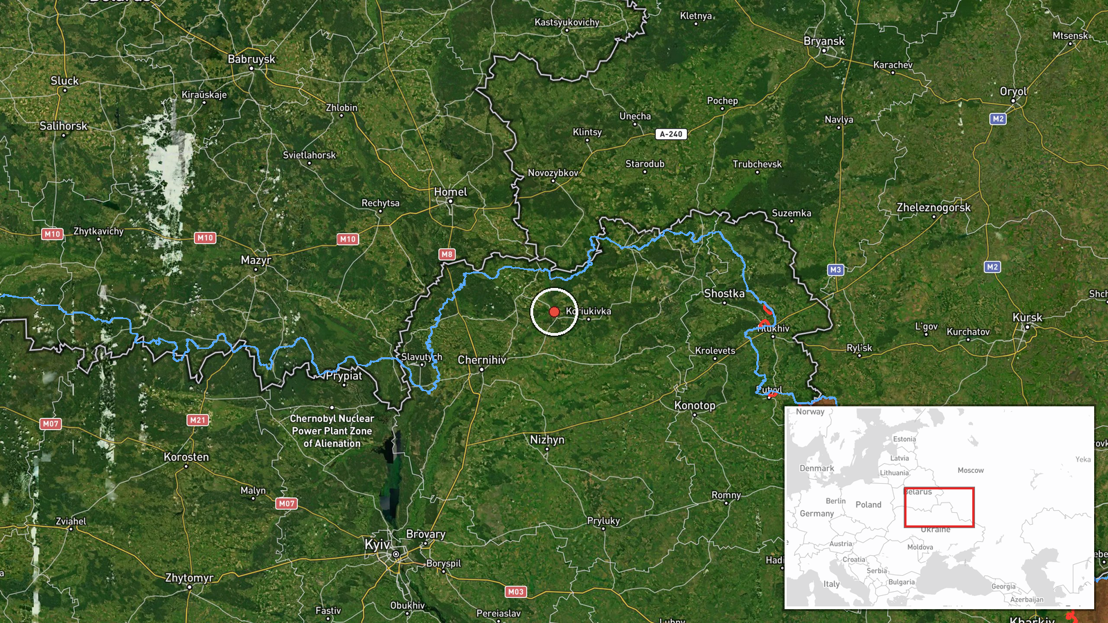
Location precision is settlement level, with high location confidence. The coordinates, approximately 51.82 N and 31.94 E, place the point at Snovsk, a town in Chernihiv Oblast in northern Ukraine. The town sits near the Russian border and the Bryansk region. It is set along the Snov River, which gives the settlement its name. The point marks the town, not a specific site, so it does not indicate where the drone was located at any moment.
Related events nearby
- Ukrainian air monitoring: 1 Russian jet-powered Shahed (Geran-3) drone heading toward Snovsk.2026-10-17 07:12 UTC · Drone Transit · Snovsk, Ukraine
- Ukrainian air monitoring: 1 Russian jet-powered Shahed (Geran-3) drone heading toward Koryukivka.2026-10-17 11:11 UTC · Drone Transit · Koryukivka, Ukraine
- Ukrainian air monitoring: 1 Russian jet-powered Shahed (Geran-3) drone heading toward Sedniv; 1 Russian jet-po2026-10-17 00:39 UTC · Drone Transit · Sedniv, Ukraine
- Ukrainian air monitoring: 1 Russian jet-powered Shahed (Geran-3) drone from Bryansk (Russia) toward northern C2026-10-17 07:10 UTC · Drone Transit · northern Chernihiv Oblast, Ukraine
- Ukrainian air monitoring: 3+ Russian Shahed-type drones over northern Chernihiv Oblast.2026-10-17 00:07 UTC · Drone Transit · northern Chernihiv Oblast, Ukraine
▶ View this event on the live map

Intel Mapper aggregates open-source reports from monitored Telegram and X channels, geolocates them, cross-checks duplicates across sources and assigns a confidence score. Entries are updated as new confirmations arrive. Read how we verify events.