Ukrainian air monitoring reports 3+ Shahed-type drones over northern Chernihiv Oblast
What happened
Ukrainian air monitoring, as relayed by the Telegram channel @kpszsu, reported a group of three or more Russian Shahed-type drones over northern Chernihiv Oblast in the early hours of 17 October 2026 UTC. The original post is brief. It describes new groups of unmanned aerial vehicles in the north of the region and does not name a precise settlement, altitude, or target. The timestamp places the report shortly after midnight UTC. The event is classed as a drone transit, meaning the aircraft were detected moving through the area rather than confirmed striking a specific site. Related entries from the same reporting pattern describe a sequence of similar detections over the preceding day.
Context and assessment
Chernihiv Oblast sits on the northern approaches to Kyiv and borders Belarus, so drones crossing its northern districts can be routed toward several possible targets, including infrastructure in the region and areas further south. The related entries show a sequence on 16 October. A single drone was seen heading southwest early in the day. A jet-powered Geran-3 variant was logged moving from northern Chernihiv Oblast toward Slavutych in the morning, followed by a larger group of three or more drones on a similar track. Later, groups of three or more were reported heading toward Chernihiv itself, and the next entry, a little over a minute after this one, describes two or more drones heading toward Chernihiv. Taken together, the pattern suggests repeated waves entering through the north and turning toward the regional center. Operationally, this may point to probing of air defense coverage, saturation attempts, or routing that forces defenders to track multiple axes at once. Such readings remain inferences. The data does not show intent, and monitoring reports often describe flight paths rather than final impact points.
Sources and confidence
Only one channel, Telegram @kpszsu, is listed for this event, and no independent outlet is cross-referenced in the data. The confidence score of 8.0 reflects that the channel is an official-style air monitoring source and that the related entries from the same channel are internally consistent. It is held below the top of the scale because the report is single-sourced and the location is coarse. Confidence would rise with independent corroboration such as a statement from the Air Force, radar-based tracking reports, or photographs or debris reports from specific districts. It would fall if the channel corrected or retracted the post, or if later reporting placed the drones in a different oblast.
Location
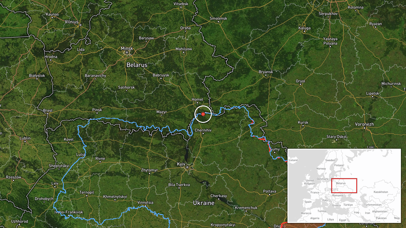
The location is recorded at region level, not settlement level. The coordinates are an approximate center point for northern Chernihiv Oblast, not a specific town, facility, or drone position. Northern Chernihiv Oblast is largely rural, with forest, wetland, and river floodplain terrain, and it borders Belarus to the north. Chernihiv city and Slavutych are named in related entries and lie to the south and east of this broader area.
Related events nearby
- Ukrainian air monitoring: 1 Russian Shahed-type drone passing northern Chernihiv Oblast, heading southwest.2026-10-16 11:09 UTC · Drone Transit · northern Chernihiv Oblast, Ukraine
- Ukrainian air monitoring: 1 Russian jet-powered Shahed (Geran-3) drone heading toward Sedniv; 1 Russian jet-po2026-10-17 00:39 UTC · Drone Transit · Sedniv, Ukraine
- Ukrainian air monitoring: 2+ Russian Shahed-type drones heading toward Chernihiv.2026-10-17 00:08 UTC · Drone Transit · Chernihiv, Ukraine
- Ukrainian air monitoring: 3+ Russian Shahed-type drones heading toward Chernihiv.2026-10-16 10:21 UTC · Drone Transit · Chernihiv, Ukraine
- Ukrainian air monitoring: 3+ Russian Shahed-type drones from northern Chernihiv Oblast toward Slavutych.2026-10-16 10:40 UTC · Drone Transit · Slavutych, Ukraine
▶ View this event on the live map

Intel Mapper aggregates open-source reports from monitored Telegram and X channels, geolocates them, cross-checks duplicates across sources and assigns a confidence score. Entries are updated as new confirmations arrive. Read how we verify events.