Drone group reported moving toward Chernihiv in single Ukrainian Telegram alert
What happened
A Telegram channel, @kpszsu, posted a short alert on 17 October 2026 at 00:08 UTC stating that a group of unmanned aerial vehicles was moving in the direction of Chernihiv. The original Ukrainian wording, "Група БпЛА в напрямку Чернігова," gives no number, altitude, or launch point. The summary attached to the record describes two or more Russian Shahed-type drones, and the attribution to Russia comes from that monitoring framing rather than a second independent report. The alert places the event at Chernihiv city, the administrative centre of Chernihiv Oblast in northern Ukraine. The data contains no information on impacts, damage, or casualties.
Context and assessment
Chernihiv sits in northern Ukraine near the Belarus border, roughly 140 kilometres north of Kyiv, and has repeatedly appeared on the routes of long-range drones moving through the north. This record belongs to a dense cluster of Chernihiv Oblast alerts from the previous day. At 05:53 UTC on 16 October a single Banderol mini cruise missile was reported moving from southern Chernihiv Oblast toward Kozelets. At 06:54 a jet-powered Geran-3 drone was tracked toward Slavutych, followed at 10:21 by three or more Shahed-type drones heading for Chernihiv and at 10:40 by a similar group bound for Slavutych. A report at 00:07 UTC on 17 October placed three or more Shahed-type drones over northern Chernihiv Oblast, and the present alert followed about a minute later. The sequence suggests sustained transit activity across the oblast over roughly a day, with shifting routes and mixed weapon types. Operationally, such short-interval reports may point to an ongoing campaign against regional infrastructure, or to traffic passing through Chernihiv toward other areas. The reports alone do not establish the intended target.
Sources and confidence
The alert comes from one Telegram channel, @kpszsu, and no second channel or official statement in the data corroborates it. The confidence score of 8.0 reflects a clear origin and a precise settlement-level location, but it is not higher because the report is single-source and its original wording gives no drone count. The count of two or more drones and the Russian attribution appear in the summary, so they should be read as monitoring framing rather than independently verified facts. Confidence would rise with a second monitoring source, a regional military administration statement, or a report of impact. It would fall if the alert were revised, withdrawn, or traced to a different launch area.
Location
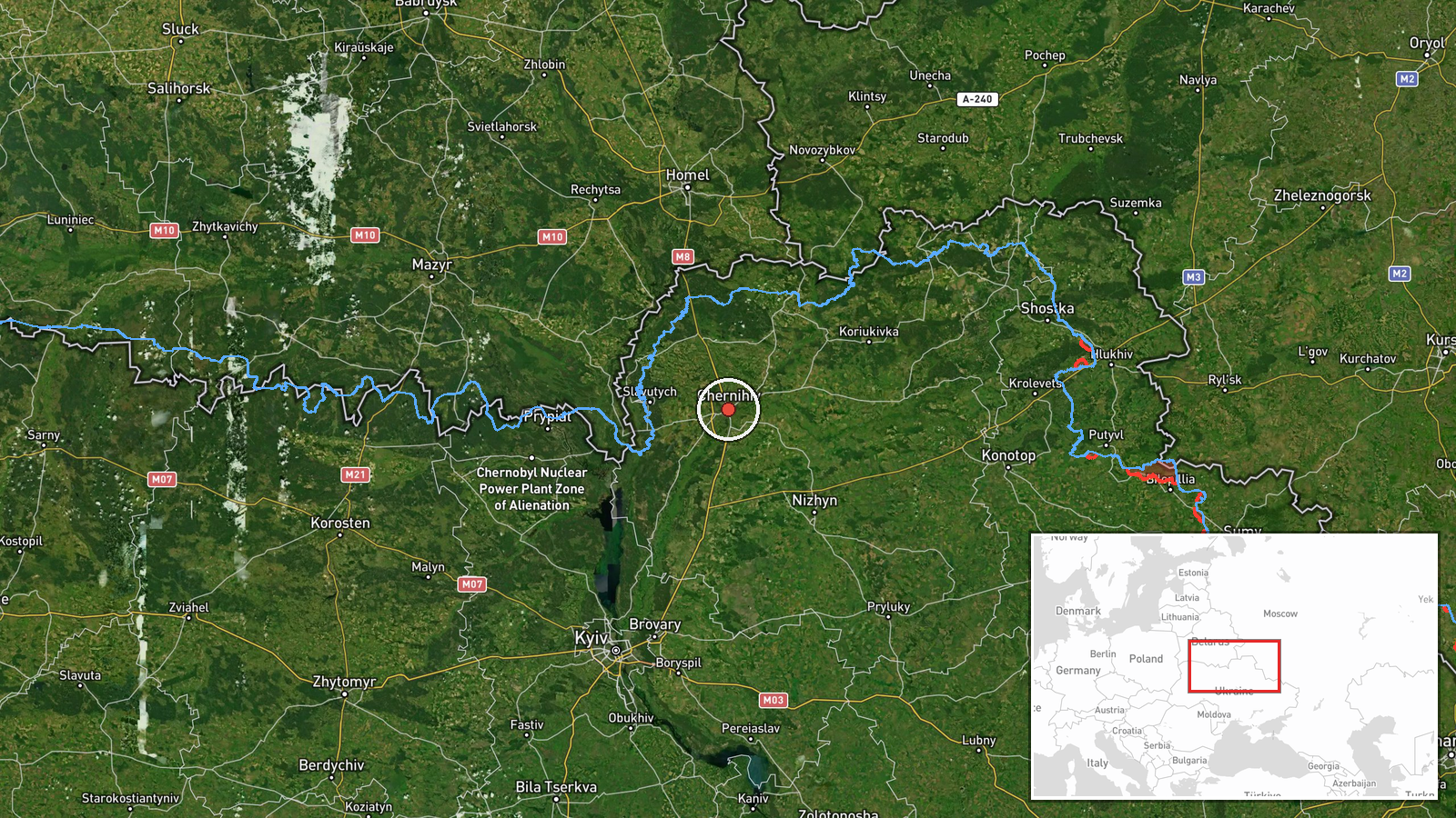
The point is set at the centre of Chernihiv city, at approximately 51.49 N, 31.29 E, with settlement-level precision and high location confidence. The alert names the city rather than a specific facility, so the pin marks the settlement, not a target. Chernihiv lies on the Desna River in northern Ukraine, with forested and marshy terrain to the north and west, and the Belarusian border is a short distance away.
Related events nearby
- Ukrainian air monitoring: 3+ Russian Shahed-type drones heading toward Chernihiv.2026-10-16 10:21 UTC · Drone Transit · Chernihiv, Ukraine
- Ukrainian air monitoring: 1 Russian jet-powered Shahed (Geran-3) drone heading toward Sedniv; 1 Russian jet-po2026-10-17 00:39 UTC · Drone Transit · Sedniv, Ukraine
- Ukrainian air monitoring: 3+ Russian Shahed-type drones from northern Chernihiv Oblast toward Slavutych.2026-10-16 10:40 UTC · Drone Transit · Slavutych, Ukraine
- Ukrainian air monitoring: 1 Russian jet-powered Shahed (Geran-3) drone from northern Chernihiv Oblast toward S2026-10-16 06:54 UTC · Drone Transit · Slavutych, Ukraine
- Ukrainian air monitoring: 1 Russian Banderol mini cruise missile from southern Chernihiv Oblast toward Kozelet2026-10-16 05:53 UTC · Cruise Missile · Kozelets, Ukraine
▶ View this event on the live map

Intel Mapper aggregates open-source reports from monitored Telegram and X channels, geolocates them, cross-checks duplicates across sources and assigns a confidence score. Entries are updated as new confirmations arrive. Read how we verify events.