Single Shahed-type drone reported transiting northern Chernihiv Oblast on southwesterly heading
What happened
Ukrainian air monitoring, as posted on the Telegram channel @kpszsu, reported one Russian Shahed-type drone passing through northern Chernihiv Oblast on a southwesterly course. The post, timestamped 16 October 2026 at 11:09 UTC, is written in Ukrainian and describes the object as an attack UAV (Ударні БпЛА) heading toward the Kyiv region. The wording gives a general corridor rather than a precise position, a settlement, or a time of entry. No impact, damage, or casualties are mentioned. The event is therefore logged as a drone transit rather than a strike, and the aircraft is identified only as Shahed-type without a specific variant.
Context and assessment
This report sits within a cluster of related transits over the same area. Between 15 and 16 October, the event log records several Ukrainian air monitoring reports of drones over northern Chernihiv Oblast, Chernihiv city, and the route toward Slavutych. Earlier reports describe groups of two or more jet-powered Geran-3 drones, while the 16 October morning reports describe groups of three or more Shahed-type drones. The pattern suggests repeated flight paths through the region over roughly twenty hours, with Chernihiv city appearing frequently as a reference point. Chernihiv lies close to the Belarusian border, and northern approach routes are often reported in such air alerts, though the data does not establish the launch origin for any of these tracks. Operationally, the recurring corridor may reflect routing toward targets further south, a pattern of reconnaissance or saturation movements, or attempts to probe air defence coverage. Each of these readings is tentative. A single transit report cannot confirm intent, and the sequence of alerts shows only that drones were reported moving through the area, not what they were meant to hit.
Sources and confidence
The event rests on one Telegram post from @kpszsu, which carries a monitoring-style attribution to Ukrainian air forces. No independent outlet, monitor, or second channel in the data confirms the track. The confidence score of 8.0 reflects the channel's institutional character and the consistency of this report with several related air monitoring posts from the same period. It is held below the top of the scale because the source count is one and the description contains no independent verification. Confidence would rise with corroboration from additional monitoring channels, regional military administration statements, or open-source flight tracking. It would fall if the original post were revised or withdrawn, or if later reports contradicted the direction or the aircraft type.
Location
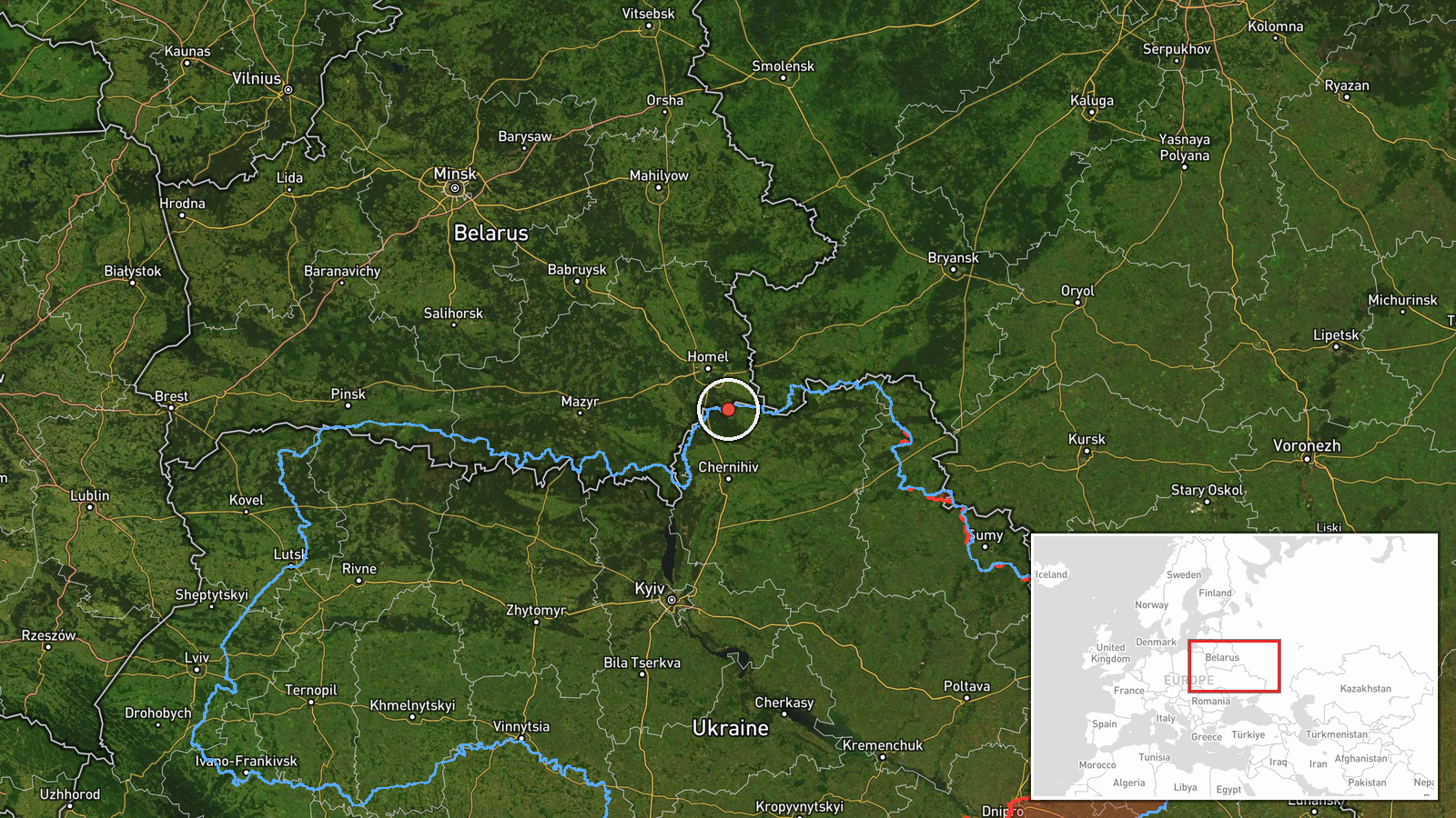
The location is recorded at region level, with coordinates placed near the approximate centre of northern Chernihiv Oblast rather than at a named settlement. The original post names no town, so location confidence is rated low. The area is part of the Polissia lowlands, characterised by forest, wetlands, and a dense network of rivers, including tributaries feeding the Desna. The city of Chernihiv lies to the south, and the Belarusian border lies to the north.
Related events nearby
- Ukrainian air monitoring: 2+ Russian jet-powered Shahed (Geran-3) drones over northern Chernihiv Oblast.2026-10-15 14:59 UTC · Drone Transit · northern Chernihiv Oblast, Ukraine
- Ukrainian air monitoring: 2+ Russian jet-powered Shahed (Geran-3) drones over Chernihiv.2026-10-15 15:38 UTC · Drone Transit · Chernihiv, Ukraine
- Ukrainian air monitoring: 3+ Russian Shahed-type drones heading toward Chernihiv.2026-10-16 10:21 UTC · Drone Transit · Chernihiv, Ukraine
- Ukrainian air monitoring: 1 Russian jet-powered Shahed (Geran-3) drone heading toward Chernihiv.2026-10-15 17:08 UTC · Drone Transit · Chernihiv, Ukraine
- Ukrainian air monitoring: 3+ Russian Shahed-type drones from northern Chernihiv Oblast toward Slavutych.2026-10-16 10:40 UTC · Drone Transit · Slavutych, Ukraine
▶ View this event on the live map

Intel Mapper aggregates open-source reports from monitored Telegram and X channels, geolocates them, cross-checks duplicates across sources and assigns a confidence score. Entries are updated as new confirmations arrive. Read how we verify events.