Multiple Russian Shahed drones tracked over Chernihiv heading toward Kyiv region
What happened
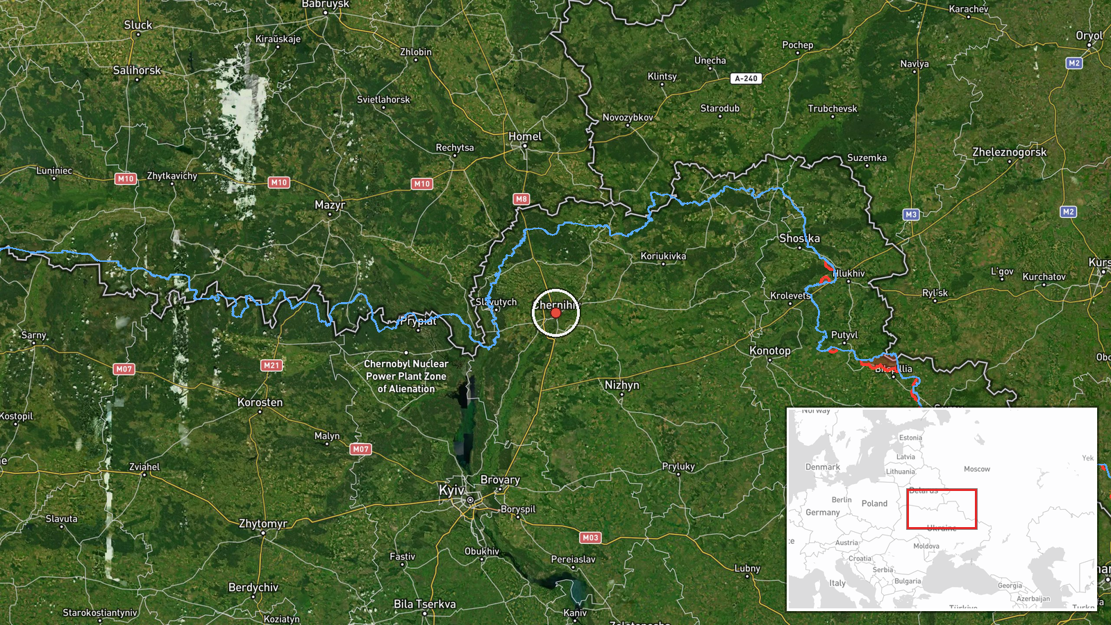
Ukrainian air monitoring reported two or more Russian jet-powered Shahed (Geran-3) drones transiting over Chernihiv on October 15 at 15:38 UTC, moving along the Belarusian border and continuing toward Kyiv Oblast. The report was posted by the Kyiv-based Checkpoint Sumy channel via Telegram. The Shahed-131/Geran-3 is a Russian loitering drone variant with extended range, typically used in strikes against infrastructure and urban centers.
Context and assessment
Chernihiv, located in Ukraine's northeast, sits near the Belarusian border and lies on a direct corridor for Russian drone operations targeting Kyiv and central Ukraine. This October 15 sighting was part of a sustained wave of Shahed transits across northern Ukraine, with related reports documenting single and multiple drones passing through Ripky, Zakhod, and Slavutych throughout the day. The pattern suggests coordinated drone activity, possibly aimed at Kyiv or regional infrastructure. Shahed swarms are often used to saturate air defenses before strikes or to probe Ukrainian detection systems. The continued use of this corridor indicates Russia maintains the capability and intent to conduct aerial strikes against targets in and around Ukraine's capital region.
Sources and confidence
Single source: Telegram channel @kpszsu (Kyiv Checkpoint Sumy). Confidence score of 8.0 reflects the established credibility of Ukrainian official air-monitoring channels, though single-source reporting limits certainty on exact drone count and final trajectory. Cross-confirmation from other Ukrainian air defense or official channels would increase confidence. Independent verification of strike outcomes would strengthen assessment.
Location
Chernihiv city, Chernihiv Oblast, northeastern Ukraine (51.51°N, 31.29°E). The settlement location precision is high. Chernihiv lies approximately 150 km northeast of Kyiv, near the Belarusian border. The city serves as a reference point along the primary northern air corridor used by Russian drone operations targeting central Ukraine.
Related events nearby
- Ukrainian air monitoring: 1 Russian jet-powered Shahed (Geran-3) drone passing Zakhod, heading toward Chernihi2026-10-15 05:30 UTC · Drone Transit · Chernihiv, Ukraine
- Ukrainian air monitoring: 2+ Russian jet-powered Shahed (Geran-3) drones passing Ripky, heading southwest.2026-10-15 10:39 UTC · Drone Transit · Ripky, Ukraine
- Ukrainian air monitoring: 1 Russian jet-powered Shahed (Geran-3) drone from Chernihiv Oblast toward Ripky.2026-10-15 02:21 UTC · Drone Transit · Ripky, Ukraine
- Ukrainian air monitoring: 2+ Russian jet-powered Shahed (Geran-3) drones heading toward Slavutych.2026-10-15 05:14 UTC · Drone Transit · Slavutych, Ukraine
- Ukrainian air monitoring: 2+ Russian jet-powered Shahed (Geran-3) drones heading toward Slavutych.2026-10-15 01:52 UTC · Drone Transit · Slavutych, Ukraine
▶ View this event on the live map

Intel Mapper aggregates open-source reports from monitored Telegram and X channels, geolocates them, cross-checks duplicates across sources and assigns a confidence score. Entries are updated as new confirmations arrive. Read how we verify events.