Ukrainian air monitoring reports one Shahed-type drone passing Trostyanets heading west
What happened
Ukrainian air monitoring reported on 17 October 2026 at 13:39 UTC that one Russian Shahed-type drone was passing Trostyanets in Sumy Oblast and heading west. The original Ukrainian-language post describes it as a strike UAV moving in the western direction. The report appears on the Telegram channel @kpszsu, which posts Ukrainian air threat tracking. The wording is brief. It gives no damage, casualty, or interception outcome, and it does not say whether the drone was shot down or continued beyond the settlement. The location is recorded at settlement level, so the marker reflects Trostyanets itself rather than a precise flight path. The post is one of several Shahed-type and cruise missile reports from the same oblast over the preceding day.
Context and assessment
Trostyanets sits within Sumy Oblast, a northeastern Ukrainian region bordering Russia that has faced repeated cross-border strikes and drone activity throughout the war. Its significance on a route map is mainly as a waypoint. A drone passing a settlement on a westward line tells observers about the aircraft's track rather than a specific target there. The recent pattern in this dataset is more informative. Between 16 October at 15:08 and 17 October at 09:47, four separate Shahed-type drone reports were logged heading toward Sumy city, and at 11:17 a Banderol mini cruise missile was reported passing Sumy Oblast heading southwest. The westward heading at Trostyanets, nearly four hours after the last Sumy-bound drone report, could indicate a drone that was redirected, one that bypassed the city, or a separate launch following a different corridor. Each reading is possible, and a single transit report cannot distinguish them. Operationally, the sequence suggests sustained probing or saturation of northeastern approaches, but the data alone does not establish intent.
Sources and confidence
The event rests on a single Telegram channel, @kpszsu, with no cross-confirmation from a second outlet, wire service, or independent monitoring source in the dataset. The confidence score of 8.0 reflects a credible official-style air monitoring post with a clear timestamp and named location, tempered by the lack of corroboration. It would rise if independent air-tracking sources, regional military administration statements, or local reports from Sumy Oblast confirmed the same transit. It would fall if later corrections or conflicting reports suggested the drone was misidentified, came down elsewhere, or was not in the area at the stated time.
Location
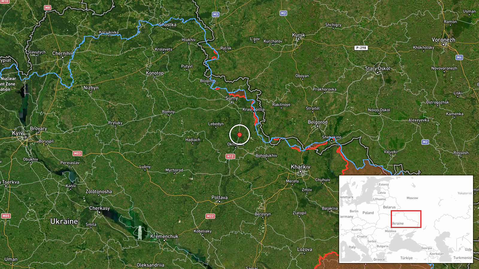
The marker sits on the town of Trostyanets in Sumy Oblast, recorded at settlement precision with high location confidence. It represents the center of the named town rather than an exact flight position, since the transit report gives no route detail. The town lies in the region's farmland, a largely flat landscape of fields, small rivers, and road links typical of northeastern Ukraine. The point should be read as a reference to the settlement rather than a specific trajectory.
Related events nearby
- Ukrainian air monitoring: 1 Russian Banderol mini cruise missile passing Sumy Oblast, heading southwest.2026-10-17 11:17 UTC · Cruise Missile · Sumy Oblast, Ukraine
- Ukrainian air monitoring: 1 Russian Shahed-type drone heading toward Sumy.2026-10-17 09:47 UTC · Drone Transit · Sumy, Ukraine
- Ukrainian air monitoring: 1 Russian Shahed-type drone heading toward Sumy.2026-10-17 06:50 UTC · Drone Transit · Sumy, Ukraine
- Ukrainian air monitoring: 1 Russian Shahed-type drone heading toward Sumy.2026-10-17 04:26 UTC · Drone Transit · Sumy, Ukraine
- Ukrainian air monitoring: 1 Russian Shahed-type drone heading toward Sumy.2026-10-16 15:08 UTC · Drone Transit · Sumy, Ukraine
▶ View this event on the live map

Intel Mapper aggregates open-source reports from monitored Telegram and X channels, geolocates them, cross-checks duplicates across sources and assigns a confidence score. Entries are updated as new confirmations arrive. Read how we verify events.