Ukrainian air monitoring reports one Russian Shahed-type drone heading toward Cherkasy
What happened
Ukrainian air monitoring reported one Russian Shahed-type drone heading toward the city of Cherkasy in central Ukraine, with the entry timestamped 18 October 2026 at 02:02 UTC. The original Ukrainian-language post is a short alert that reads roughly as 'UAV in the direction of the city' and does not say whether the drone was intercepted, reached the city, or changed course. The only listed source is the Telegram channel @kpszsu. The event is classified as a drone transit, which records movement toward a settlement rather than a confirmed strike. The data reports no casualties, damage, or unit involvement.
Context and assessment
Cherkasy sits on the western bank of the Dnipro in central Ukraine, a corridor that Russian long-range drone traffic has repeatedly crossed on routes toward western and central regions. The related entries show a dense pattern over roughly the previous 24 hours. Early on 17 October, a drone was reported heading toward Smila, with a group of two or more jet-powered Geran-3 drones reported moving from Kirovohrad Oblast toward Zakhari. At 11:42 a single Banderol mini cruise missile was reported passing Cherkasy Oblast heading northwest. Several further Geran-3 tracks were then reported toward Cherkasy, Smila, and Cherkasy Oblast through the afternoon, with the last at 15:38. The repetition suggests a sustained flight path through this oblast rather than a single isolated launch. Operationally, such tracks may indicate drones routed through the area toward other targets, saturation or probing activity, or simply the monitoring system reporting each detected track. A transit alert does not by itself indicate that Cherkasy was the intended target.
Sources and confidence
The entry rests on one channel, @kpszsu, and no independent outlet in the data corroborates it. The confidence score of 8.0 is relatively high for a single source, reflecting the channel's role in routine air-alert reporting and the precise settlement-level coordinates. It is still held below the top range because the alert is brief, does not state the drone's outcome, and has no second channel confirming it. Confidence would rise with corroboration from other air-monitoring channels, regional military administration statements, or reports of interception or impact in Cherkasy. It would fall if later updates contradicted the track or showed it heading elsewhere.
Location
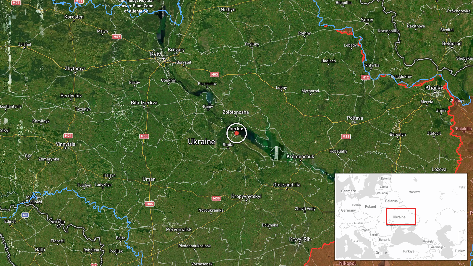
The coordinates correspond to the city of Cherkasy, placed at settlement precision with high location confidence, so the point marks the urban center rather than a specific facility. The city lies on the western bank of the Dnipro in Cherkasy Oblast, in central Ukraine. The surrounding terrain is largely flat agricultural land cut by river valleys. Smila and other places named in the related entries lie within the same oblast and were part of the same overnight and daytime track set.
Related events nearby
- Ukrainian air monitoring: 1 Russian jet-powered Shahed (Geran-3) drone heading toward Cherkasy Oblast.2026-10-17 15:38 UTC · Drone Transit · Cherkasy Oblast, Ukraine
- Ukrainian air monitoring: 2+ Russian jet-powered Shahed (Geran-3) drones heading toward Cherkasy.2026-10-17 12:08 UTC · Drone Transit · Cherkasy, Ukraine
- Ukrainian air monitoring: 1 Russian Banderol mini cruise missile passing Cherkasy Oblast, heading northwest.2026-10-17 11:42 UTC · Cruise Missile · Cherkasy Oblast, Ukraine
- Ukrainian air monitoring: 1 Russian jet-powered Shahed (Geran-3) drone from Cherkasy Oblast toward Smila.2026-10-17 13:49 UTC · Drone Transit · Smila, Ukraine
- Ukrainian soldiers who served on the front line for a long period have been withdrawn from their positions. No2026-10-18 00:00 UTC · Convoy · Ukraine (location not reported)
▶ View this event on the live map

Intel Mapper aggregates open-source reports from monitored Telegram and X channels, geolocates them, cross-checks duplicates across sources and assigns a confidence score. Entries are updated as new confirmations arrive. Read how we verify events.