Ukrainian Air Force reports Russian Geran-3 jet drone over Iziaslav, Khmelnytskyi oblast
What happened
Ukraine's Air Force monitoring channel on Telegram, @kpszsu, reported at 06:47 UTC on 18 October 2026 that one jet-powered Shahed-type drone, identified as a Geran-3, was flying at or near Iziaslav in Khmelnytskyi oblast, approaching from the south. The original Ukrainian wording, 'реактивний БпЛА на/повз Ізяслав з півдня', uses the construction 'на/повз', meaning 'over or past', so the post does not confirm whether the drone struck or fell in the town. No impact, damage or casualties are mentioned. The event is logged as a drone transit, with Russia named as the actor based on the drone type and the monitoring context. It appeared among several overflight alerts issued that morning across western Ukraine.
Context and assessment
Iziaslav lies on a transit corridor through western Ukraine, and its appearance in this sequence fits a pattern of drones moving through the Khmelnytskyi and Ternopil border area on the same morning. Related alerts from the same channel place a Geran-3 heading toward Starokostyantyniv at 04:41 UTC and another heading toward Iziaslav at 05:43 UTC. Later alerts describe drones passing or over Krasyliv at 06:44 and 06:57 UTC and over Shumsk at 06:57 UTC, with the northward movement noted for Krasyliv. Taken together, the reports suggest a group of drones tracked across several successive points rather than a single isolated approach. Operationally, the jet-powered variant is faster and generally harder to intercept than the older propeller-driven Shahed, so such alerts are important for air defence cueing. Tracking reports of this kind usually indicate that air monitoring is following the flight path; they do not by themselves show the intended target or whether the drones were engaged.
Sources and confidence
The event rests on a single Telegram channel, @kpszsu, which is the Ukrainian Air Force's official monitoring feed. The related events come from the same type of channel and carry consistent timing, but the data contains no independent cross-confirmation from separate outlets, local authorities or wire services. The confidence score of 8.0 reflects an official-tier source with coherent timing and a clearly defined type, offset by the single-source basis and the absence of any impact or outcome reporting. Confidence would rise with an official Air Force statement, corroborating reports from regional officials or established Ukrainian media, or confirmed track data. It would fall if later updates reclassified the object or if the drone's route could not be confirmed.
Location
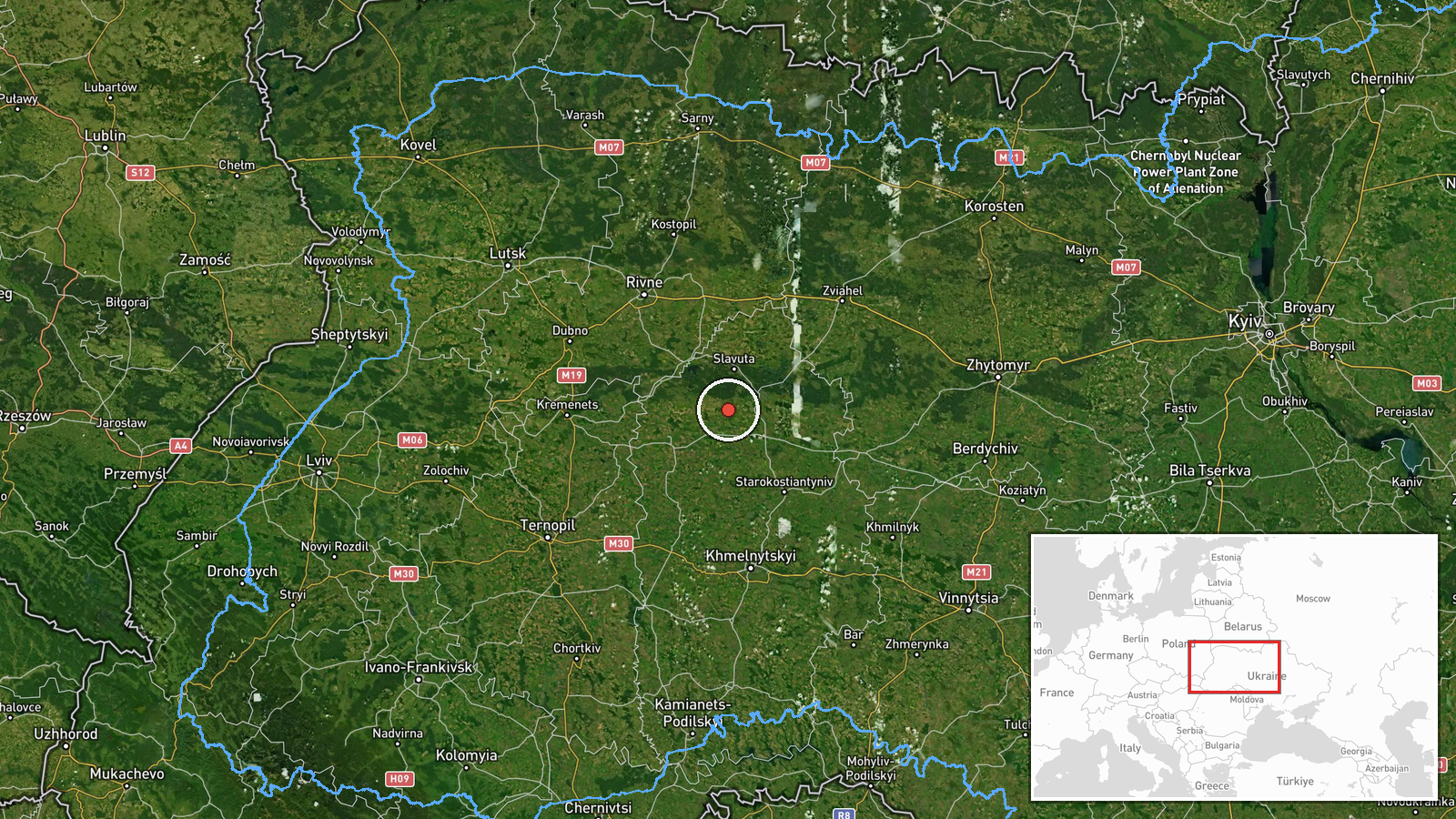
The coordinates (50.11978, 26.82475) are at settlement precision and the location confidence is rated high, so the point most likely marks the town of Iziaslav rather than a specific facility. Iziaslav is a town in Khmelnytskyi oblast in western Ukraine, in the Podillia region. The surrounding landscape is mainly gently rolling farmland and river valleys, and the Horyn River flows near the town. The area sits along regional road and rail links, which is consistent with its appearance on flight routes that cross this part of the country.
Related events nearby
- Ukrainian air monitoring: 1 Russian jet-powered Shahed (Geran-3) drone heading toward Iziaslav.2026-10-18 05:43 UTC · Drone Transit · Iziaslav, Ukraine
- Ukrainian air monitoring: 1 Russian jet-powered Shahed (Geran-3) drone heading toward Starokostyantyniv.2026-10-18 04:41 UTC · Drone Transit · Starokostyantyniv, Ukraine
- Ukrainian air monitoring: 1 Russian Shahed-type drone over Shumsk.2026-10-18 06:57 UTC · Drone Transit · Shumsk, Ukraine
- Ukrainian air monitoring: 1 Russian jet-powered Shahed (Geran-3) drone over Krasyliv.2026-10-18 06:57 UTC · Drone Transit · Krasyliv, Ukraine
- Ukrainian air monitoring: 1 Russian jet-powered Shahed (Geran-3) drone passing Krasyliv, heading north.2026-10-18 06:44 UTC · Drone Transit · Krasyliv, Ukraine
▶ View this event on the live map

Intel Mapper aggregates open-source reports from monitored Telegram and X channels, geolocates them, cross-checks duplicates across sources and assigns a confidence score. Entries are updated as new confirmations arrive. Read how we verify events.