Jet-powered Geran-3 drone reported heading toward Starokostyantyniv in Khmelnytskyi Oblast
What happened
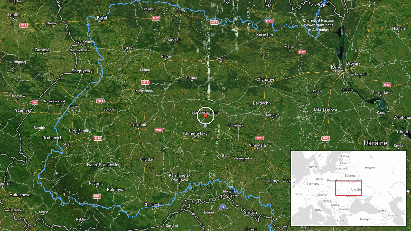
On 18 October 2026 at about 04:41 UTC, a Telegram channel monitoring Ukrainian airspace, @kpszsu, reported a single Russian jet-powered Shahed-type drone, identified as a Geran-3, on a course toward Starokostyantyniv in Khmelnytskyi Oblast, western Ukraine. The original Ukrainian-language post, translated, reads roughly as a jet-type unmanned aerial vehicle heading toward Starokostyantyniv from the south. The report describes a transit track only. It does not state whether the drone struck anything, was intercepted, or changed course, and no casualties or damage are mentioned in the post. The report is attributed to Russia as the launching actor on the basis of the drone type and the wider pattern of similar reports.
Context and assessment
Starokostyantyniv sits in the Khmelnytskyi region, which lies well inside western Ukraine, far from the front line in the east and south. Its significance for air operations is therefore mainly as a waypoint or possible target area on routes that cross the oblast. Related reports from the previous day show a sustained series of single-drone transits through the same administrative area. Earlier tracks passed over Khmelnytskyi Oblast, Derazhnya, and Krasyliv, and later ones headed toward Vinkivtsi from the same oblast. The sequence suggests drones entering or crossing the region in a sustained stream rather than as an isolated incident. The Geran-3 designation indicates a jet-powered variant, which is generally understood to fly faster than piston-engined Shaheds, shortening the warning window for air defence. Because each report covers one drone at a time, the pattern more likely reflects a continuing flow of long-range strikes or decoys than a single coordinated raid. Operational intent cannot be confirmed from transit reports alone, and the data does not establish the intended target.
Sources and confidence
The event rests on one Telegram channel, @kpszsu, which is a Ukrainian air monitoring feed, and no second independent channel is listed. The confidence score of 8.0 reflects a credible official-style monitoring source and a high location confidence, offset by the single-source basis and the fact that the report is a transit alert rather than a confirmed impact. Confidence would rise with cross-confirmation from a second monitoring channel, an official air force statement, or reports of debris, impact, or interception near Starokostyantyniv. It would fall if later updates showed the track was misidentified or diverted away from the town.
Location
The location is recorded at settlement level, using the centre of Starokostyantyniv, which the data marks with high location confidence. The coordinates do not indicate a specific facility, so any associated military or industrial target remains unconfirmed. Starokostyantyniv lies in Khmelnytskyi Oblast in west-central Ukraine, to the southeast of the regional capital. The surrounding area is mainly rural and agricultural, with smaller towns and road and rail links.
Related events nearby
- Ukrainian air monitoring: 1 Russian Shahed-type drone heading toward Krasyliv.2026-10-17 14:43 UTC · Drone Transit · Krasyliv, Ukraine
- Ukrainian air monitoring: 1 Russian Shahed-type drone from Khmelnytskyi Oblast toward Krasyliv.2026-10-17 06:23 UTC · Drone Transit · Krasyliv, Ukraine
- Ukrainian air monitoring: 1 Russian Shahed-type drone passing Derazhnya, heading toward Khmelnytskyi.2026-10-17 14:25 UTC · Drone Transit · Khmelnytskyi, Ukraine
- Ukrainian air monitoring: 1 Russian Shahed-type drone over Khmelnytskyi Oblast.2026-10-17 14:13 UTC · Drone Transit · Khmelnytskyi Oblast, Ukraine
- Ukrainian air monitoring: 1 Russian jet-powered Shahed (Geran-3) drone from Khmelnytskyi Oblast toward Vinkivt2026-10-17 15:13 UTC · Drone Transit · Vinkivtsi, Ukraine
▶ View this event on the live map

Intel Mapper aggregates open-source reports from monitored Telegram and X channels, geolocates them, cross-checks duplicates across sources and assigns a confidence score. Entries are updated as new confirmations arrive. Read how we verify events.