Single Shahed-type drone reported moving toward Krasyliv, Khmelnytskyi Oblast
What happened
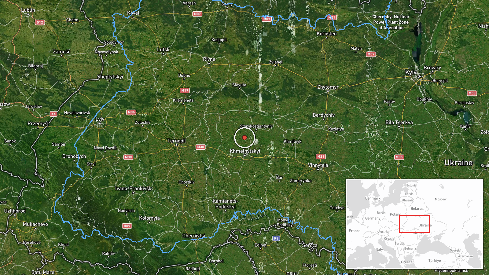
Ukraine's air monitoring channel on Telegram, @kpszsu, reported at 06:23 UTC on 17 October 2026 that one Shahed-type drone was heading toward Krasyliv in Khmelnytskyi Oblast. The original Ukrainian post describes an unmanned aerial vehicle moving toward Krasyliv from the east. The wording reports a drone in transit, not a confirmed strike, and the report includes no information on impact, damage, or casualties. The attribution to Russia comes from the event summary; the original post does not name an operator. The event is logged as a drone transit, meaning it records movement rather than an attack on the town.
Context and assessment
Krasyliv is a small town in western Khmelnytskyi Oblast, and its place on the map matters less for its size than for its position within a recent run of drone reports. The related events form a clear sequence. Between 09:33 UTC on 16 October and 04:24 UTC on 17 October, Ukrainian air monitoring logged several Shahed-type drones in the same oblast. These included jet-powered Geran-3 variants heading toward Starokostiantyniv, one passing Adyn toward that town, one heading toward Khmelnytskyi city, and one tracked north of Starokostiantyniv and heading west. The Krasyliv report is the latest entry in this run and continues a pattern of movement across the region rather than marking a new target. Operationally, repeated tracking of this kind suggests flights either transiting toward targets further west or being followed along routes that cross several districts. Because the reports describe movement rather than impacts, they may reflect routing, decoy or saturation activity, or air-defense response, but open reporting alone cannot show which. The most cautious reading is a sustained transit pattern across Khmelnytskyi Oblast.
Sources and confidence
The report rests on a single Telegram channel, @kpszsu, and no other source in the related set confirms this specific track. The channel is widely used for Ukrainian air alerts, which supports its general reliability, but the confidence score of 8.0 reflects that the claim is uncorroborated and carries no imagery or official statement. The score would rise if a second monitoring channel, a regional military administration, or a wire service confirmed the track. It would fall if later updates contradicted the direction of travel or if a correction were issued. The record currently shows no correction.
Location
The coordinates correspond to Krasyliv, a settlement, so precision is recorded as settlement level and location confidence is high. The town lies in western Khmelnytskyi Oblast within the Podillia region of west-central Ukraine, an area of gently rolling farmland. The drone's approach from the east places the track in the oblast's interior rather than near a border. Because the report names the town as a direction, not a point of impact, the coordinates mark the reported destination area rather than a specific site.
Related events nearby
- Ukrainian air monitoring: jet-powered Shahed-type (Geran-3) drones tracked in Khmelnytskyi Oblast west of Star2026-10-16 11:01 UTC · Drone Transit · Starokostiantyniv, Khmelnytskyi Oblast, Ukraine
- Ukrainian air monitoring: 1 Russian jet-powered Shahed (Geran-3) drone passing Adyn’, heading toward Starokost2026-10-16 21:45 UTC · Drone Transit · Starokostyantyniv, Ukraine
- Ukrainian air monitoring: 1 Russian jet-powered Shahed (Geran-3) drone heading toward Starokostyantyniv.2026-10-16 09:33 UTC · Drone Transit · Starokostyantyniv, Ukraine
- Ukrainian air monitoring: one Russian Shahed-type drone tracked north of Starokostiantyniv, heading west.2026-10-17 04:24 UTC · Drone Transit · North of Starokostiantyniv, Khmelnytskyi Oblast, U
- Ukrainian air monitoring: 1 Russian Shahed-type drone heading toward Khmelnytskyi.2026-10-16 17:53 UTC · Drone Transit · Khmelnytskyi, Ukraine
▶ View this event on the live map

Intel Mapper aggregates open-source reports from monitored Telegram and X channels, geolocates them, cross-checks duplicates across sources and assigns a confidence score. Entries are updated as new confirmations arrive. Read how we verify events.