Unconfirmed report: jet-powered Geran-3 drone tracked toward Starokostiantyniv, Khmelnytskyi
What happened
Ukrainian air monitoring reported at 21:45 UTC on 16 October 2026 that one Russian jet-powered Shahed-type drone, identified in the report as a Geran-3, was passing Adyn and heading toward Starokostiantyniv in Khmelnytskyi Oblast. The only source is a single Telegram channel, @kpszsu. Its original Ukrainian post describes a jet-powered UAV on a course toward Starokostiantyniv from the south and calls it 'another' such drone, suggesting it followed earlier reports that day. The report does not describe any impact, damage, casualties, or interception. Its wording points to a transit track rather than a confirmed strike. The event is classified as a drone transit, with Russia listed as the actor based on the drone type and the monitoring channel's attribution.
Context and assessment
Starokostiantyniv sits in Khmelnytskyi Oblast, in west-central Ukraine, a region that has appeared repeatedly in air alerts during recent months. The same day's record includes five related drone-transit entries. They run from 01:35 to 17:53 UTC and cover drones north of Khmelnytskyi heading north, a drone passing Tyvriv toward the oblast, a drone heading toward Khmelnytskyi city, and, at 11:01 UTC, several jet-powered Shahed-type drones tracked west of Starokostiantyniv heading northwest. Repeated tracks over the same area could mean several drones flying separate routes, or the same systems being re-reported as they moved. Local military aviation infrastructure in the Starokostiantyniv area has reportedly been a point of interest in earlier reporting, which may help explain why the town appears so often in these tracks. The jet-powered Geran-3 variant is generally faster and flies at different altitudes than piston-engine Shaheds, which can shorten warning times for residents. Operationally, a sequence like this may indicate route probing, air-defence drawing, or interest in infrastructure further west, but the data cannot establish intent. Individual transit reports cannot confirm targets or outcomes.
Sources and confidence
All of this information comes from one channel, Telegram @kpszsu, and the dataset shows no independent confirmation from other channels, official statements, or imagery. The confidence score of 8.0 reflects the specific, operator-style wording, the clear drone designation, and the consistent same-day pattern across related entries, which make the report internally coherent. It is still single-sourced and uncorrected, so the score is not higher. Confidence would rise with an official air force statement, a second monitoring channel, regional authority notices, or video or debris reports. It would fall if later updates contradicted the track, if the drone's identification changed, or if the channel issued a correction.
Location
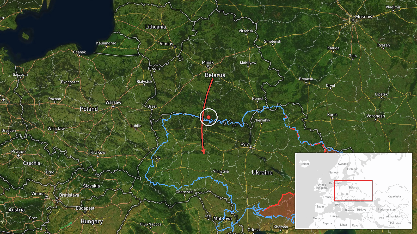
The location is geocoded at settlement level, with high location confidence, using the centre of Starokostiantyniv. Adyn, named as the drone's passing point, is not separately geocoded in this record. Starokostiantyniv lies in the Podillia region of west-central Ukraine, an area of rolling farmland and river valleys. The regional capital, Khmelnytskyi, lies to the south-west of the town, and the drone's reported approach from the south would cross this agricultural landscape.
Related events nearby
- Ukrainian air monitoring: 1 Russian jet-powered Shahed (Geran-3) drone heading toward Starokostyantyniv.2026-10-16 09:33 UTC · Drone Transit · Starokostyantyniv, Ukraine
- Ukrainian air monitoring: jet-powered Shahed-type (Geran-3) drones tracked in Khmelnytskyi Oblast west of Star2026-10-16 11:01 UTC · Drone Transit · Starokostiantyniv, Khmelnytskyi Oblast, Ukraine
- Ukrainian air monitoring: 1 Russian jet-powered Shahed (Geran-3) drone passing north of Khmelnytskyi, heading 2026-10-16 01:35 UTC · Drone Transit · north of Khmelnytskyi, Ukraine
- Ukrainian air monitoring: 1 Russian Shahed-type drone heading toward Khmelnytskyi.2026-10-16 17:53 UTC · Drone Transit · Khmelnytskyi, Ukraine
- Ukrainian air monitoring: 1 Russian Shahed-type drone passing Tyvriv, heading toward Khmelnytskyi Oblast.2026-10-16 11:46 UTC · Drone Transit · Khmelnytskyi Oblast, Ukraine
▶ View this event on the live map

Intel Mapper aggregates open-source reports from monitored Telegram and X channels, geolocates them, cross-checks duplicates across sources and assigns a confidence score. Entries are updated as new confirmations arrive. Read how we verify events.