Ukrainian monitoring reports one Shahed-type drone heading west north of Starokostiantyniv
What happened
Ukrainian air monitoring reported one Russian Shahed-type drone tracked north of Starokostiantyniv in Khmelnytskyi Oblast, heading west, in a post timed 17 October 2026 at 04:24 UTC. The original Ukrainian-language message is brief: a UAV (БпЛА) north of Starokostiantyniv, course western. It does not specify the drone model, altitude, or whether it was armed, and it does not describe any impact or damage. The report is a transit notice rather than a strike report, and the attribution to Russia rests on the monitoring wording and the drone class. The event comes from a single Telegram channel, @kpszsu, and had not been independently matched to other reports at the time of writing.
Context and assessment
Starokostiantyniv lies in western-central Ukraine, well behind the front line, so drones passing through the area are usually on long-range routes rather than tactical missions. The related reports from 16 October show a sustained pattern in the same corridor. At 09:33 one jet-powered Shahed (Geran-3) was reported heading toward Starokostiantyniv, and at 10:01 another was reported heading toward Shepetivka. At 11:01 jet-powered drones were tracked west of Starokostiantyniv heading northwest, and at 21:45 one was reported passing Adyn toward Starokostiantyniv. The 17 October report continues that westward movement through the Shepetivka district. Operationally, repeated tracks along similar axes may mean several drones flying similar routes, or the same aircraft being reported at successive monitoring points, and the open reports cannot distinguish between these. Transit reports of this kind are often read as indicators of activity further west, but the link is not reliable, and many tracks never lead to a reported impact. The dataset does not show any strike, so the most cautious reading is that this is a routine monitoring entry within an active long-range drone flow.
Sources and confidence
The event rests on one channel, @kpszsu, which carries official Ukrainian air monitoring messages. The related events come from the same type of feed, so they support the pattern but do not independently confirm this specific track. The confidence score of 8.0 reflects the channel's official nature and the specific directional wording, but it is held back because there is only one source and no corroborating radar, imagery, or follow-up reporting. Confidence would rise with a second official or independent tracking report, a matching alert for a nearby area, or subsequent confirmation of a strike. It would fall if the message were corrected, withdrawn, or found to refer to a different track.
Location
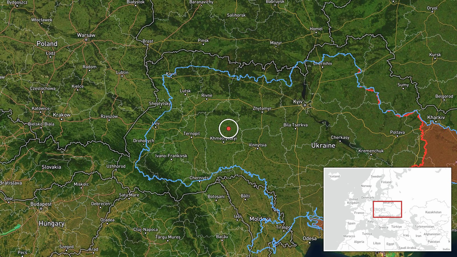
The coordinates 49.8 N, 27.2 E are approximate and carry region-level precision. They are placed at the town of Starokostiantyniv as a reference point, while the report places the drone north of the town, so the actual track position is uncertain by a considerable distance. The setting is Khmelnytskyi Oblast in western Ukraine, an area of mostly flat to gently rolling farmland with towns, rail lines, and road networks. Shepetivka, to the northwest, is the nearest other settlement named in the related reports. No specific facility or target is identified in the data.
Related events nearby
- Ukrainian air monitoring: 1 Russian jet-powered Shahed (Geran-3) drone passing Adyn’, heading toward Starokost2026-10-16 21:45 UTC · Drone Transit · Starokostyantyniv, Ukraine
- Ukrainian air monitoring: 1 Russian jet-powered Shahed (Geran-3) drone heading toward Starokostyantyniv.2026-10-16 09:33 UTC · Drone Transit · Starokostyantyniv, Ukraine
- Ukrainian air monitoring: jet-powered Shahed-type (Geran-3) drones tracked in Khmelnytskyi Oblast west of Star2026-10-16 11:01 UTC · Drone Transit · Starokostiantyniv, Khmelnytskyi Oblast, Ukraine
- Ukrainian air monitoring: 1 Russian Shahed-type drone passing Shepetivka district, heading west.2026-10-17 04:24 UTC · Drone Transit · Shepetivka district, Ukraine
- Ukrainian air monitoring: 1 Russian jet-powered Shahed (Geran-3) drone heading toward Shepetivka.2026-10-16 10:01 UTC · Drone Transit · Shepetivka, Ukraine
▶ View this event on the live map

Intel Mapper aggregates open-source reports from monitored Telegram and X channels, geolocates them, cross-checks duplicates across sources and assigns a confidence score. Entries are updated as new confirmations arrive. Read how we verify events.