Drone transit reported over Shepetivka district, Khmelnytskyi Oblast, heading west
What happened
Ukrainian air monitoring reported one unmanned aerial vehicle, described as a Russian Shahed-type drone, passing through Shepetivka district in Khmelnytskyi Oblast on 17 October 2026 at 04:24 UTC. The original Ukrainian-language post, published on the Telegram channel @kpszsu, uses the brief wording that the drone was on a western heading, without describing damage, impacts, or intercepts. The post does not state whether the drone was jet-powered, and it names no specific settlement within the district. Because the report is a single-channel air alert and the data includes no follow-up statement, the track should be treated as a transit observation rather than a confirmed strike or incident.
Context and assessment
Shepetivka sits in the northwest of Ukraine's interior, far from the front lines, and its rail links make it a recognizable point on regional air-alert maps. The event is part of a sequence of monitoring reports from the same corridor over roughly 18 hours. On 16 October, a jet-powered Geran-3 was reported heading toward Shepetivka at 10:01 UTC, and other Geran-3 drones were tracked heading toward or west of Starokostiantyniv at 09:33, 11:01, and 21:45 UTC. A drone was then reported north of Starokostiantyniv heading west early on 17 October. Taken together, these reports suggest drones moving through Khmelnytskyi Oblast along a broadly westward axis, which may reflect routing toward targets further west, a deliberate pattern of saturating air-defence coverage, or a decoy function. The reports alone cannot distinguish among these possibilities, and the pattern is inferred from alert wording rather than from any confirmed target.
Sources and confidence
All of the event data rests on one Telegram channel, @kpszsu, which is an official-style Ukrainian air-monitoring account. No independent outlet in the data corroborates the track. The confidence score of 8.0 reflects the channel's role in routine air alerts and the consistency of the surrounding reports in the same area, but it is held below the top range because the entry itself is a single-source post with no independent check of position or heading. Confidence would rise with a second official statement, radar-based corroboration, or reporting of an impact or interception. It would fall if later updates contradicted the heading or if the post was corrected or withdrawn.
Location
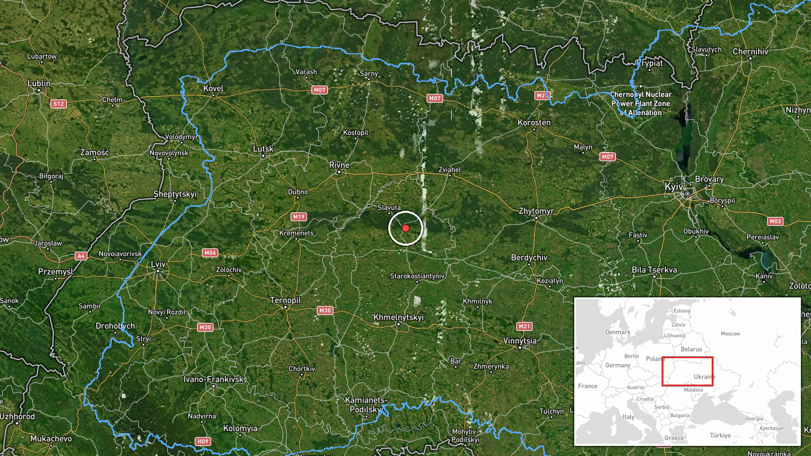
The location is recorded at settlement precision, meaning the pin reflects the district rather than a verified point of flight or impact. The coordinates, approximately 50.18 north and 27.07 east, place the marker in the Shepetivka district area. Its location confidence is marked high because the source names the district directly. The surrounding area lies in the transitional zone between the Polissia lowlands to the north and the Podillia uplands to the south, with a mix of farmland, forest patches, and river valleys. Shepetivka itself is a rail junction town, which is a notable nearby feature for anyone reviewing the map.
Related events nearby
- Ukrainian air monitoring: 1 Russian jet-powered Shahed (Geran-3) drone heading toward Shepetivka.2026-10-16 10:01 UTC · Drone Transit · Shepetivka, Ukraine
- Ukrainian air monitoring: one Russian Shahed-type drone tracked north of Starokostiantyniv, heading west.2026-10-17 04:24 UTC · Drone Transit · North of Starokostiantyniv, Khmelnytskyi Oblast, U
- Ukrainian air monitoring: 1 Russian jet-powered Shahed (Geran-3) drone passing Adyn’, heading toward Starokost2026-10-16 21:45 UTC · Drone Transit · Starokostyantyniv, Ukraine
- Ukrainian air monitoring: 1 Russian jet-powered Shahed (Geran-3) drone heading toward Starokostyantyniv.2026-10-16 09:33 UTC · Drone Transit · Starokostyantyniv, Ukraine
- Ukrainian air monitoring: jet-powered Shahed-type (Geran-3) drones tracked in Khmelnytskyi Oblast west of Star2026-10-16 11:01 UTC · Drone Transit · Starokostiantyniv, Khmelnytskyi Oblast, Ukraine
▶ View this event on the live map

Intel Mapper aggregates open-source reports from monitored Telegram and X channels, geolocates them, cross-checks duplicates across sources and assigns a confidence score. Entries are updated as new confirmations arrive. Read how we verify events.