Single Shahed-type drone reported over Khmelnytskyi Oblast, heading toward Vinkivtsi area
What happened
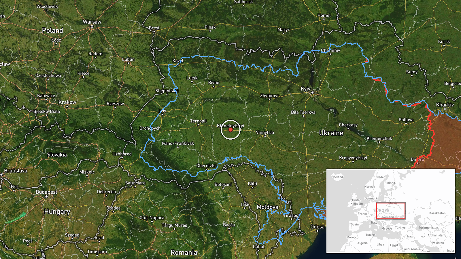
Ukraine's air monitoring channel on Telegram (@kpszsu) reported on 17 October 2026 at 14:13 UTC that one Russian Shahed-type strike drone was moving toward Vinkivtsi (Віньківці) in Khmelnytskyi Oblast. The original post, in Ukrainian, describes it as an 'ударний БпЛА' (strike UAV) 'у напрямку' (in the direction of) the settlement, and the event summary describes it as flying over the oblast. The report gives no impact, damage, casualty, or interception information. The event is recorded as a drone transit, and the attacking side is listed as Russia based on the attribution in the report.
Context and assessment
Khmelnytskyi Oblast sits in west-central Ukraine and has appeared repeatedly in air monitoring reports over the past two days. Earlier reports on 16 and 17 October describe single drones heading toward Khmelnytskyi city, passing Adyn' toward Starokostiantyniv, moving through Derazhnya, and crossing from the oblast toward Krasyliv. Two of those earlier reports specifically identify jet-powered Geran-3 variants, while this report uses the general Shahed-type label. The pattern is a series of individual drones tracked across several districts over about 24 hours, rather than one concentrated salvo. Such sequences are often consistent with drones routed through or around the region toward other targets, though the reports alone do not establish intent or the final destination of any single aircraft. Because the drones are being tracked piecemeal, the sequence may also reflect how monitoring is reported rather than a precise picture of the flight paths.
Sources and confidence
The report rests on one Telegram channel, @kpszsu, which is associated with Ukraine's air force monitoring. No second independent outlet in the provided data confirms the sighting, so cross-confirmation is absent. The confidence score of 8.0 reflects a credible official-style channel and a consistent pattern with related reports, but it is tempered by the single-source basis. Confidence would rise with corroboration from another monitoring channel, local officials, or a later report of an impact or interception. It would fall if subsequent updates contradict the direction of travel or the aircraft type.
Location
The location is approximate. The report names Vinkivtsi as the direction of travel, but the coordinates are set at the oblast level (49.42, 49.42 latitude and 26.98 longitude), with location confidence rated low. The exact position of the drone when reported is not given. Khmelnytskyi Oblast is a largely agricultural region of the Podillia area, with the Southern Bug River flowing through parts of it and a mix of towns, villages, and rural roads. These features are general background and were not confirmed by the report itself.
Related events nearby
- Ukrainian air monitoring: 1 Russian Shahed-type drone passing Derazhnya, heading toward Khmelnytskyi.2026-10-17 14:25 UTC · Drone Transit · Khmelnytskyi, Ukraine
- Ukrainian air monitoring: 1 Russian Shahed-type drone heading toward Khmelnytskyi.2026-10-16 17:53 UTC · Drone Transit · Khmelnytskyi, Ukraine
- Ukrainian air monitoring: 1 Russian Shahed-type drone heading toward Krasyliv.2026-10-17 14:43 UTC · Drone Transit · Krasyliv, Ukraine
- Ukrainian air monitoring: 1 Russian Shahed-type drone from Khmelnytskyi Oblast toward Krasyliv.2026-10-17 06:23 UTC · Drone Transit · Krasyliv, Ukraine
- Ukrainian air monitoring: 1 Russian jet-powered Shahed (Geran-3) drone heading toward Derazhnya.2026-10-17 03:27 UTC · Drone Transit · Derazhnya, Ukraine
▶ View this event on the live map

Intel Mapper aggregates open-source reports from monitored Telegram and X channels, geolocates them, cross-checks duplicates across sources and assigns a confidence score. Entries are updated as new confirmations arrive. Read how we verify events.