Single jet-powered Shahed drone reported heading toward Derazhnya, Khmelnytskyi Oblast
What happened
Ukrainian air monitoring reported one Russian jet-powered Shahed-type drone, identified in the source as a Geran-3, flying on a course toward Derazhnya, a settlement in Khmelnytskyi Oblast. The report was posted on the Telegram channel @kpszsu. The original Ukrainian wording, roughly translated, reads: Khmelnytskyi region: a jet-powered UAV heading toward Derazhnya. The message is a brief transit notice. It gives no information on impact, damage, casualties, or interception, and it does not state the drone's altitude or exact track. The timestamp is 17 October 2026 at 03:27 UTC. The event is logged as a drone transit rather than a strike, and the source describes movement only. Because the notice comes from a single channel, the account rests on that one report.
Context and assessment
Derazhnya has appeared repeatedly in the recent record on this map. On 16 October alone, related entries describe several drone transits toward the settlement. One report at 04:20 UTC describes at least two jet-powered Shaheds moving from eastern Khmelnytskyi Oblast, and another at 10:47 UTC describes at least two from Vinnytsia Oblast. Other entries that day describe single Shahed-type drones passing Tyvriv and heading toward Khmelnytskyi Oblast at 11:46 UTC, and heading toward Khmelnytskyi city at 04:24 and 17:53 UTC. The pattern is one of drones crossing the oblast from several directions over a single day, with Derazhnya repeatedly named as the destination. Air monitoring notices of this kind are issued to warn residents and air defense units about aircraft tracks, and they do not by themselves reveal a target. A recurring focus on one settlement could reflect a routing waypoint, a decoy path, or an aim point in the area, but the available data does not establish which. Jet-powered Geran-3 variants are generally considered faster than propeller-driven Shaheds, which can shorten warning times. The 17 October entry most likely continues an established track rather than marking a new development, though that reading is an inference.
Sources and confidence
This event rests on one Telegram channel, @kpszsu, which is the only listed source. Its confidence score is 8.0, a relatively high figure that reflects the channel's role as a routine air monitoring feed and the specificity of the report, which gives a drone type, a count, and a destination. The score stays below the maximum because no second outlet, official statement, or independent observation corroborates the transit. Confidence would rise if other monitoring channels or official air force or regional statements repeated the sighting. It would fall if the notice were retracted, reclassified, or contradicted by reports showing a different route.
Location
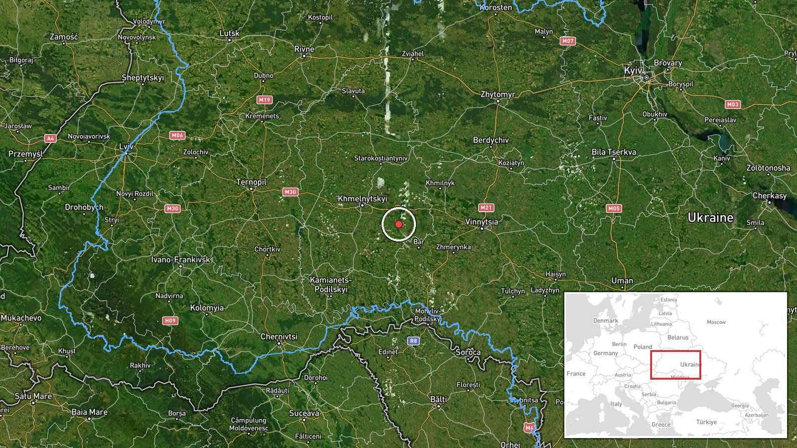
The location is recorded at settlement precision. The coordinates correspond to Derazhnya itself rather than a specific facility, and location confidence is rated high. The settlement lies in Khmelnytskyi Oblast in west-central Ukraine, within the historical Podillia region, a largely agricultural landscape of farmland, river valleys, and small towns. The drone notice gives no exact track, so the point marks the stated destination rather than the aircraft's position.
Related events nearby
- Ukrainian air monitoring: 2+ Russian jet-powered Shahed (Geran-3) drones from Vinnytsia Oblast toward Derazhny2026-10-16 10:47 UTC · Drone Transit · Derazhnya, Ukraine
- Ukrainian air monitoring: 2+ Russian jet-powered Shahed (Geran-3) drones from eastern Khmelnytskyi Oblast towa2026-10-16 04:20 UTC · Drone Transit · Derazhnya, Ukraine
- Ukrainian air monitoring: 1 Russian Shahed-type drone heading toward Khmelnytskyi.2026-10-16 17:53 UTC · Drone Transit · Khmelnytskyi, Ukraine
- Ukrainian air monitoring: 1 Russian Shahed-type drone passing Tyvriv, heading toward Khmelnytskyi Oblast.2026-10-16 11:46 UTC · Drone Transit · Khmelnytskyi Oblast, Ukraine
- Ukrainian air monitoring: 2+ Russian jet-powered Shahed (Geran-3) drones heading toward Khmelnytskyi; 1 Russia2026-10-16 04:24 UTC · Drone Transit · Khmelnytskyi, Ukraine
▶ View this event on the live map

Intel Mapper aggregates open-source reports from monitored Telegram and X channels, geolocates them, cross-checks duplicates across sources and assigns a confidence score. Entries are updated as new confirmations arrive. Read how we verify events.