Single Russian Geran-3 jet drone reported over eastern Khmelnytskyi Oblast, heading toward Derazhnia
What happened
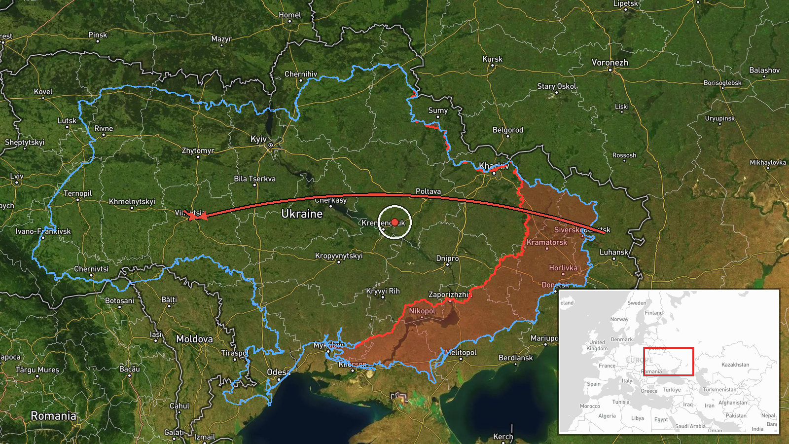
Ukrainian air monitoring channel Telegram (@kpszsu) reported one Russian jet-powered Shahed (Geran-3) drone over the eastern part of Khmelnytskyi Oblast in western Ukraine, on a course toward the settlement of Derazhnia. The post was published on 16 October 2026 at roughly 04:20 UTC. The original Ukrainian wording describes a 'jet-type UAV' in eastern Khmelnytskyi heading for Derazhnia. The report describes the drone's flight path only; it does not mention impact, damage, or casualties. The post is a single-channel report and has not been independently confirmed by other sources in the dataset.
Context and assessment
Khmelnytskyi Oblast sits in west-central Ukraine, well behind the front line, and has become a recurring corridor for Shahed-type drones heading toward the western regions. Related entries in this dataset show a pattern across the same few hours: a drone tracked toward Bar on 15 October, another from Khmelnytskyi Oblast toward Vovkovyntsi at 01:26 UTC on 16 October, a single drone over Khmelnytskyi city at 01:35, and a wider group of jet-powered Geran-3 drones tracked over western Vinnytsia at 03:05 heading toward Khmelnytskyi and western Rivne. A group of two or more drones was then reported heading toward Khmelnytskyi at 04:24. Taken together, the pattern suggests a sustained, multi-axis flight of drones moving through the region rather than a single isolated sortie. Such transits are often associated with routes toward Volyn and other northwestern areas, and the frequent reporting of individual drones suggests air monitoring is tracking them as they move. Derazhnia itself is a small district town, so its appearance in the report most likely reflects the stated heading rather than a confirmed target. Operationally, the sequence may indicate a wave of long-range strikes passing through western Ukraine. Analysts would treat any apparent destination with caution until further reports confirm where the drones were headed or what they hit.
Sources and confidence
The event rests on one Telegram channel, @kpszsu, which is associated with the Ukrainian Air Force's public monitoring output. The post is short and reports a heading rather than an outcome. Confidence is scored at 8.0 out of 10, reflecting the channel's institutional role and the consistency of the surrounding related events, but the score is held below the top range because only one source reported this specific entry. Confidence would rise with independent corroboration from regional military administrations, Air Force follow-up statements, or open-source flight tracking. It would fall if later reports contradict the heading or show the track was a misidentification.
Location
The location is given at settlement level for Derazhnia, Khmelnytskyi Oblast, at approximately 49.27 N, 27.43 E, and the location confidence is recorded as high. The point reflects the town named in the report as the heading, not a confirmed impact site. The origin is described only as eastern Khmelnytskyi Oblast, which is a broad area. Derazhnia lies in the largely agricultural, rolling terrain of the Podillia region, with the Southern Bug river system and extensive farmland nearby.
Related events nearby
- Ukrainian air monitoring: 1 Russian jet-powered Shahed (Geran-3) drone from Khmelnytskyi Oblast toward Vovkovy2026-10-16 01:26 UTC · Drone Transit · Vovkovyntsi, Ukraine
- Ukrainian air monitoring: 1 Russian jet-powered Shahed (Geran-3) drone heading toward Bar.2026-10-15 15:51 UTC · Drone Transit · Bar, Ukraine
- Ukrainian air monitoring: 2+ Russian jet-powered Shahed (Geran-3) drones heading toward Khmelnytskyi; 1 Russia2026-10-16 04:24 UTC · Drone Transit · Khmelnytskyi, Ukraine
- Ukrainian air monitoring: jet-powered Shahed (Geran-3) drones tracked over western Vinnytsia, heading to Khmel2026-10-16 03:05 UTC · Drone Transit · Khmelnytskyi Oblast, Ukraine
- Ukrainian air monitoring: 1 Russian jet-powered Shahed (Geran-3) drone over Khmelnytskyi.2026-10-16 01:35 UTC · Drone Transit · Khmelnytskyi, Ukraine
▶ View this event on the live map

Intel Mapper aggregates open-source reports from monitored Telegram and X channels, geolocates them, cross-checks duplicates across sources and assigns a confidence score. Entries are updated as new confirmations arrive. Read how we verify events.