Single Shahed-type drone reported heading toward Klesiv in northern Rivne Oblast
What happened
Ukraine's air monitoring channel, the Telegram account @kpszsu, reported at 07:04 UTC on 18 October 2026 that one Shahed-type drone was heading toward Klesiv in Rivne Oblast. The original Ukrainian post is brief. It labels the object an unmanned aerial vehicle, names the Rivne region, and says it is moving toward Klesiv from the east. The English summary adds the Russian attribution and the Shahed-type designation, which the original wording does not state outright, so that attribution rests on the monitoring service's classification rather than on a wreck or impact. No damage, impact, or casualties are described. The report is a transit notice for a single airborne object, and it does not say whether the drone was still airborne when posted.
Context and assessment
Rivne Oblast lies in northwestern Ukraine, in a belt of forests, wetlands and lowland rivers that borders Belarus to the north. The region has repeatedly appeared on drone transit notices, and the related events here show that pattern. Between 08:32 UTC on 17 October and 05:36 UTC on 18 October, the monitoring feed logged five other single-drone transits across northern Rivne and Zhytomyr Oblasts. These included a jet-powered Geran-3 variant passing northern Rivne heading west, and tracks toward Sarny, Dubrovytsya and Buchmany. Taken together, the sequence points to a series of individual drones moving through the same northern corridor over roughly a day, rather than one isolated flight. Operationally, single-airframe tracks like these are often read as route probing, low-altitude navigation through the corridor, or a way to draw air defence attention. None of these readings can be confirmed from a monitoring notice alone. Klesiv itself has no significance established by the data. Its value to readers is as one point in a continuing transit pattern, not as a strike record.
Sources and confidence
Only one channel, the Telegram account @kpszsu, appears in the data, and the event records a source count of one, so there is no independent cross-confirmation at the time of writing. The confidence score of 8.0 reflects an official-style monitoring feed with a specific location and timestamp, but it sits below the top of the scale because the Russian and Shahed attribution is the monitor's classification, and no second outlet, radar record or wreckage report corroborates it. Confidence would rise with a matching report from another monitoring source, a Ukrainian air force statement, or a confirmed sighting or debris location. It would fall if the track were later reclassified, withdrawn, or found to refer to a different airframe.
Location
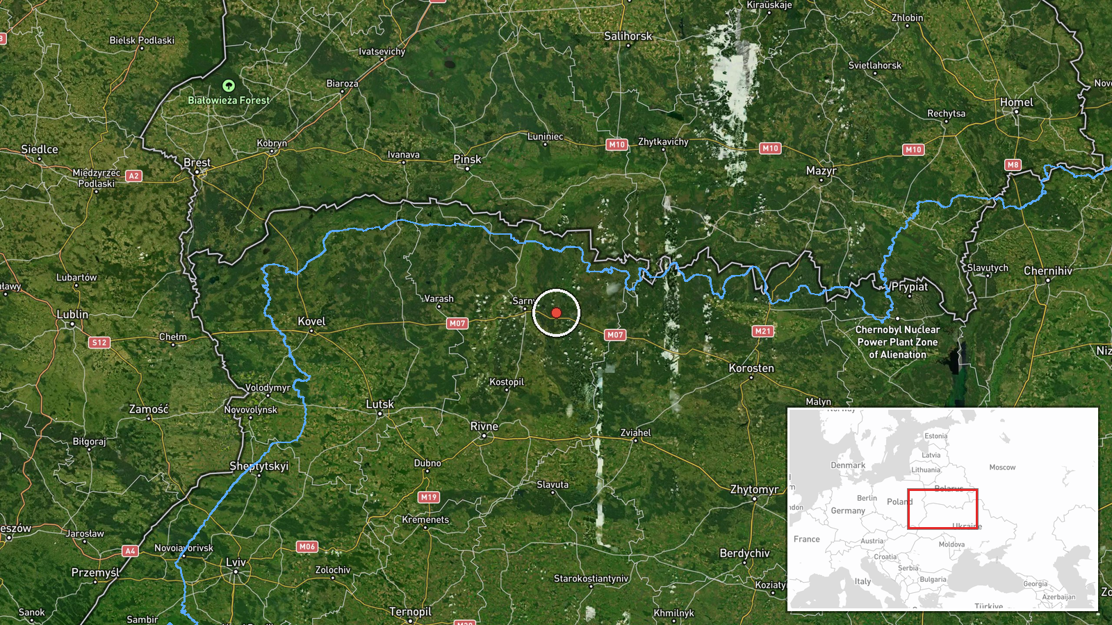
The pin is a settlement-level geocode for Klesiv, which the data marks with high location confidence. The coordinates place the village in northern Rivne Oblast, in the Polissia lowlands, an area of forest, marsh and small rivers with sparse settlement and long open approaches from the north. Settlement-level precision means the marker identifies the community, not a specific facility or the drone's exact position.
Related events nearby
- Ukrainian air monitoring: 1 Russian Shahed-type drone from northern Zhytomyr Oblast toward Sarny.2026-10-18 05:36 UTC · Drone Transit · Sarny, Ukraine
- Ukrainian air monitoring: 1 Russian Shahed-type drone heading toward Dubrovytsya.2026-10-18 02:03 UTC · Drone Transit · Dubrovytsya, Ukraine
- Ukrainian air monitoring: 1 Russian jet-powered Shahed (Geran-3) drone passing northern Rivne Oblast, heading 2026-10-17 10:12 UTC · Drone Transit · northern Rivne Oblast, Ukraine
- Ukrainian air monitoring: 1 Russian jet-powered Shahed (Geran-3) drone heading toward Buchmany.2026-10-18 03:11 UTC · Drone Transit · Buchmany, Ukraine
- Ukrainian air monitoring: 1 Russian Shahed-type drone passing Tsuman, heading southwest.2026-10-18 06:36 UTC · Drone Transit · Tsuman, Ukraine
▶ View this event on the live map

Intel Mapper aggregates open-source reports from monitored Telegram and X channels, geolocates them, cross-checks duplicates across sources and assigns a confidence score. Entries are updated as new confirmations arrive. Read how we verify events.