Ukrainian air monitoring reports one Shahed-type drone heading toward Zhovkva, Lviv Oblast
What happened
On 18 October 2026, at about 07:18 UTC, Ukrainian air monitoring reported one Russian Shahed-type drone on a course toward Zhovkva, a town in Lviv Oblast in western Ukraine. The alert was posted on Telegram by the channel @kpszsu, which is generally associated with Ukraine's Air Force. The original Ukrainian wording reads roughly as "UAV heading to Zhovkva from the northeast," and the post does not describe any impact, casualties or damage. The report is a flight-path warning, so it shows where the drone was reportedly tracked rather than what it struck. The event is recorded with a settlement-level location and high location confidence, based on the named town.
Context and assessment
The Zhovkva warning is one point in a sequence of single-drone reports moving through northwestern Ukraine on the same morning. Earlier entries place a drone heading toward Lutsk at 06:50, another near Sosnivka at 07:09 that was described as coming from northern Lviv Oblast, and then two entries for Lviv at 07:21 and 07:26. The day before, a drone was reported moving from Rivne Oblast toward Volyn Oblast. Taken together, the pattern suggests individual airframes crossing the region in a generally westward or southwestward direction, which is consistent with the long-range Shahed-type profile used widely in Russian strike campaigns. Lviv city and its surroundings host rail, road and logistics links, and the region lies roughly 70 km from the Polish border, which may make it a recurring corridor for transit or monitoring flights. The available data does not name a specific target, so any intended destination remains speculative. Multiple tracks in a short window may also reflect decoy or reconnaissance activity, but that cannot be established from these reports alone.
Sources and confidence
The event rests on a single Telegram channel, @kpszsu, with no second outlet or independent confirmation in the dataset. The related events are from the same type of air monitoring feed, which supports the consistency of the sequence but does not independently verify any individual track. The confidence score of 8.0 reflects a credible official-style warning with a clear location and time, tempered by the fact that it comes from one channel and describes a flight path rather than an observed outcome. Confidence would rise with corroboration from a second monitoring source, regional military administration statements, or reporting of debris or impact. It would fall if later updates retract, amend or contradict the track, or if the flight direction described in the original post cannot be matched to the other alerts.
Location
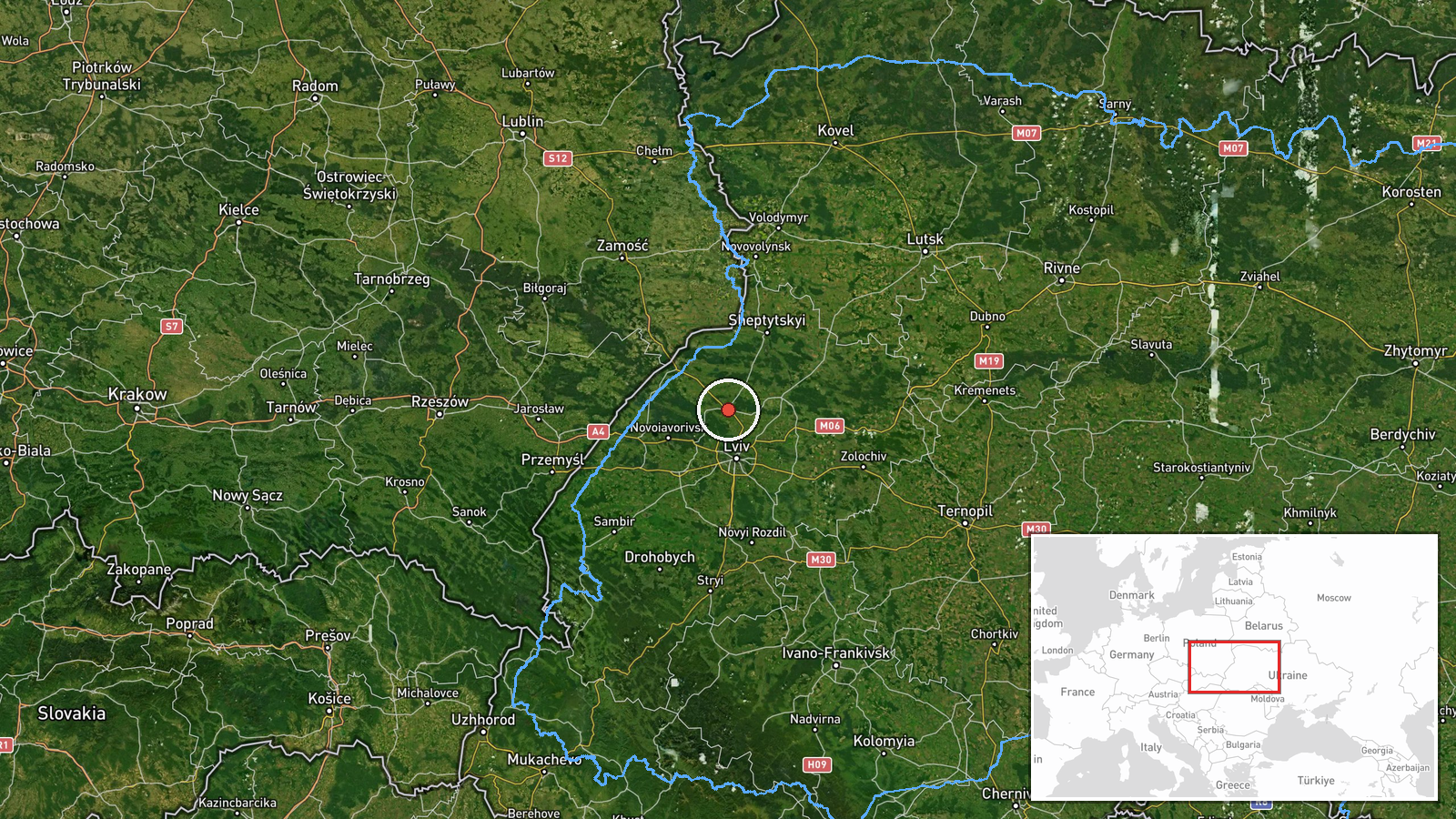
The location is assigned at settlement level to Zhovkva, Lviv Oblast, at approximately 50.058 N, 23.973 E, based on the named town in the original alert. Zhovkva sits in the Lviv region of western Ukraine, roughly 30 km northwest of Lviv city. The area is largely flat to gently rolling farmland with towns and road links radiating from the regional capital. Zhovkva is known for its historic old town and castle complex, which are notable landmarks in the immediate area. No facility-level target is identified in the data.
Related events nearby
- Ukrainian air monitoring: 1 Russian Shahed-type drone passing Kulykiv, heading toward Lviv.2026-10-18 08:14 UTC · Drone Transit · Lviv, Ukraine
- Ukrainian air monitoring: 1 Russian Shahed-type drone passing Dobrotvir, heading toward Lviv.2026-10-18 08:08 UTC · Drone Transit · Lviv, Ukraine
- Ukrainian air monitoring: 1 Russian Shahed-type drone over Lviv.2026-10-18 07:26 UTC · Drone Transit · Lviv, Ukraine
- Ukrainian air monitoring: 1 Russian Shahed-type drone heading toward Lviv.2026-10-18 07:21 UTC · Drone Transit · Lviv, Ukraine
- Ukrainian air monitoring: 1 Russian Shahed-type drone from northern Lviv Oblast toward Sosnivka.2026-10-18 07:09 UTC · Drone Transit · Sosnivka, Ukraine
▶ View this event on the live map

Intel Mapper aggregates open-source reports from monitored Telegram and X channels, geolocates them, cross-checks duplicates across sources and assigns a confidence score. Entries are updated as new confirmations arrive. Read how we verify events.