Single Shahed-type drone reported passing Kulykiv toward Lviv, per Ukrainian air monitoring
What happened
Ukrainian air monitoring reported on 18 October 2026 at 08:14 UTC that one Russian Shahed-type drone was passing Kulykiv, heading toward Lviv. The original Ukrainian-language message is a single line describing an unmanned aerial vehicle moving past Kulykiv on its way to Lviv. It gives no detail on altitude, speed, or damage. The post came from the Telegram channel @kpszsu, which is widely associated with Ukraine's Air Force, and the drone's attribution to Russia and its Shahed-type classification come from the monitoring wording itself. No strike, impact, or casualty is mentioned. The event is logged as a transit rather than an attack, and its map point sits on Lviv city.
Context and assessment
Lviv is a major regional center in western Ukraine, close to the Polish border, with significant rail, logistics, and administrative functions. Its position makes it a recurring waypoint for drones approaching from the west and north. The related events show a sequence of single-drone transit reports on the same morning. At 07:09 a drone was reported moving from northern Lviv Oblast toward Sosnivka. At 07:18 one was heading toward Zhovkva, at 07:21 toward Lviv, and at 07:26 over Lviv. At 08:08 another passed Dobrotvir toward Lviv, and the present report places a drone passing Kulykiv on the same approach. The track moves through successive settlements converging on the city. This may indicate one drone or several closely spaced objects following a similar corridor, although the reports do not confirm a single airframe. Such a pattern could reflect operators tracking an inbound route toward the regional center, or air defense and electronic warfare shaping the flight path. Because each entry is a monitoring update rather than an impact report, the sequence is best read as surveillance of an approach route rather than confirmed targeting.
Sources and confidence
The event rests on one Telegram channel, @kpszsu, and the data records no independent cross-confirmation. The confidence score of 8.0 reflects a credible, officially linked source with a specific, time-stamped report, but the absence of a second channel keeps it below the top range. The related events are of the same drone-transit type and appear to come from the same monitoring stream, so they add pattern context rather than independent verification of this track. Confidence would rise with corroboration from Lviv regional military administration posts, air alert records, or wire reporting of drone activity over Lviv on that date. It would fall if later updates reclassify the object or retract the track.
Location
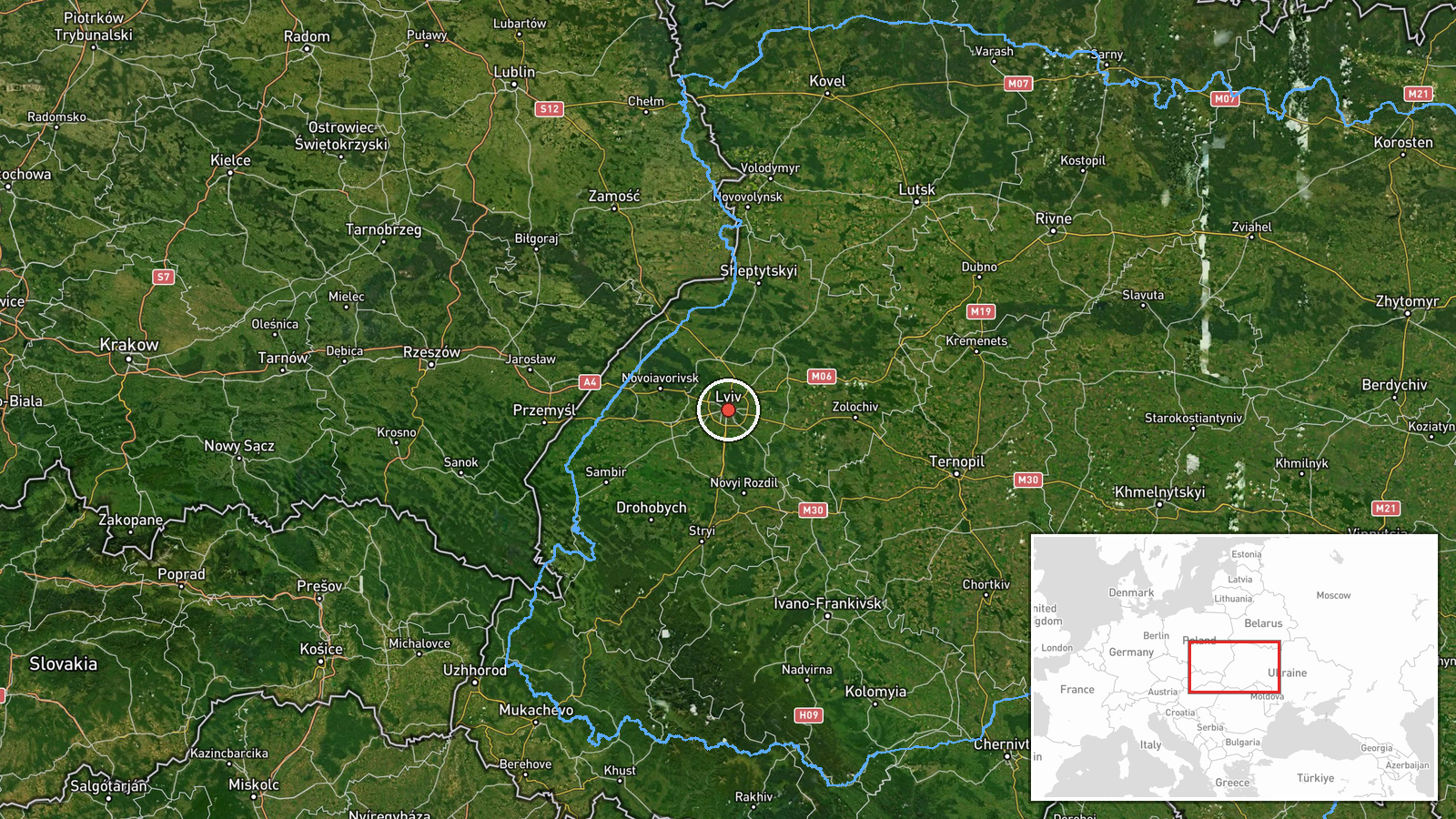
The coordinates, 49.84 N and 24.03 E, are placed on Lviv city at settlement precision with high location confidence, because the named destination is Lviv. Kulykiv, the village named in the report, lies in the Lviv area to the north-west of the city and is not separately pinned. Lviv is a large regional center in western Ukraine near the Polish border, surrounded by rolling farmland, forest, and smaller settlements. The map point therefore reflects the reported destination rather than the drone's exact position at the time of the post.
Related events nearby
- Ukrainian air monitoring: 1 Russian Shahed-type drone passing Dobrotvir, heading toward Lviv.2026-10-18 08:08 UTC · Drone Transit · Lviv, Ukraine
- Ukrainian air monitoring: 1 Russian Shahed-type drone over Lviv.2026-10-18 07:26 UTC · Drone Transit · Lviv, Ukraine
- Ukrainian air monitoring: 1 Russian Shahed-type drone heading toward Lviv.2026-10-18 07:21 UTC · Drone Transit · Lviv, Ukraine
- Ukrainian air monitoring: 1 Russian Shahed-type drone heading toward Zhovkva.2026-10-18 07:18 UTC · Drone Transit · Zhovkva, Ukraine
- Ukrainian air monitoring: 1 Russian Shahed-type drone from northern Lviv Oblast toward Sosnivka.2026-10-18 07:09 UTC · Drone Transit · Sosnivka, Ukraine
▶ View this event on the live map

Intel Mapper aggregates open-source reports from monitored Telegram and X channels, geolocates them, cross-checks duplicates across sources and assigns a confidence score. Entries are updated as new confirmations arrive. Read how we verify events.