Ukrainian monitoring reports one Shahed-type drone heading toward Lviv from the north
What happened
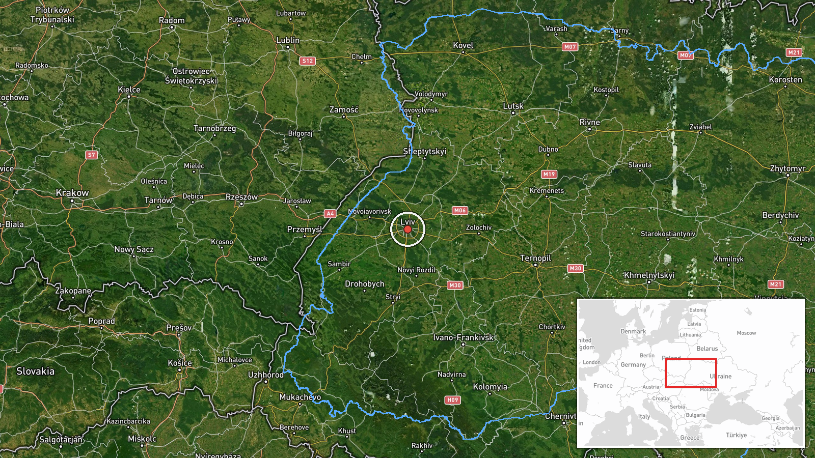
A Ukrainian air monitoring notice posted on Telegram channel @kpszsu, logged at 07:21 UTC on 18 October 2026, reported one Russian Shahed-type drone heading toward Lviv. The original Ukrainian wording, which describes an unmanned aerial vehicle on a course toward Lviv from the north, is a brief tactical alert. It does not describe any impact, damage or casualties. Related reports in the same morning window follow the same type of target moving through the region. A drone was logged from northern Lviv Oblast toward Sosnivka at 07:09 UTC, another toward Zhovkva at 07:18 UTC, and a later entry at 07:26 UTC placed a drone over Lviv itself. The map records this event at the city of Lviv.
Context and assessment
Lviv is a major regional city in western Ukraine, close to the Polish border, and it hosts rail, road and industrial infrastructure that has been of ongoing interest in the wider air campaign. Its prominence means that even single-drone warnings are treated as operationally significant by air defence and civil authorities. The related events show a pattern of sequential tracking over the course of about two hours. Earlier entries include a jet-powered Shahed variant, described as Geran-3, moving from Khmelnytskyi Oblast toward Ternopil Oblast on 17 October, and another Geran-3 heading toward Vyshnivets early on 18 October. Taken together, these reports suggest a sustained pattern of drones crossing western Ukraine on routes that approach Lviv from the north and west. Operationally, this may indicate either transit flights toward other targets or reconnaissance and saturation-style probing of air defence coverage, but the open reporting does not confirm which. Repeated tracking entries for the same airframe also reflect how monitoring channels follow a single drone across successive oblasts.
Sources and confidence
The event rests on a single Telegram channel, @kpszsu, which is understood to be the official Ukrainian Air Force channel for air alerts. The related entries are also single-channel tactical updates. They are consistent with one another in route and timing, which supports internal coherence but does not provide independent corroboration. The confidence score of 8.0 reflects a credible official source with a clear time stamp and a precise location, offset by the absence of a second outlet and the lack of any confirmed outcome. Confidence would rise with corroboration from Lviv regional military administration statements, local media, or independent flight tracking. It would fall if later official updates revised the target count, altered the track, or reported that the drone was downed or lost.
Location
The location is recorded at the city of Lviv, with coordinates of 49.84 north and 24.03 east, and the precision is classed as settlement level with high location confidence. The coordinates point to the city centre rather than a specific facility, since the source names only the city. Lviv sits in a broad valley in western Ukraine, relatively close to the Polish border, and the Poltva river flows through the urban area. Zhovkva and Sosnivka, named in related reports, lie to the north and northwest of the city.
Related events nearby
- Ukrainian air monitoring: 1 Russian Shahed-type drone passing Kulykiv, heading toward Lviv.2026-10-18 08:14 UTC · Drone Transit · Lviv, Ukraine
- Ukrainian air monitoring: 1 Russian Shahed-type drone passing Dobrotvir, heading toward Lviv.2026-10-18 08:08 UTC · Drone Transit · Lviv, Ukraine
- Ukrainian air monitoring: 1 Russian Shahed-type drone over Lviv.2026-10-18 07:26 UTC · Drone Transit · Lviv, Ukraine
- Ukrainian air monitoring: 1 Russian Shahed-type drone heading toward Zhovkva.2026-10-18 07:18 UTC · Drone Transit · Zhovkva, Ukraine
- Ukrainian air monitoring: 1 Russian Shahed-type drone from northern Lviv Oblast toward Sosnivka.2026-10-18 07:09 UTC · Drone Transit · Sosnivka, Ukraine
▶ View this event on the live map

Intel Mapper aggregates open-source reports from monitored Telegram and X channels, geolocates them, cross-checks duplicates across sources and assigns a confidence score. Entries are updated as new confirmations arrive. Read how we verify events.