Ukrainian air monitoring reports jet-powered Shahed drone heading toward Rivne from north
What happened
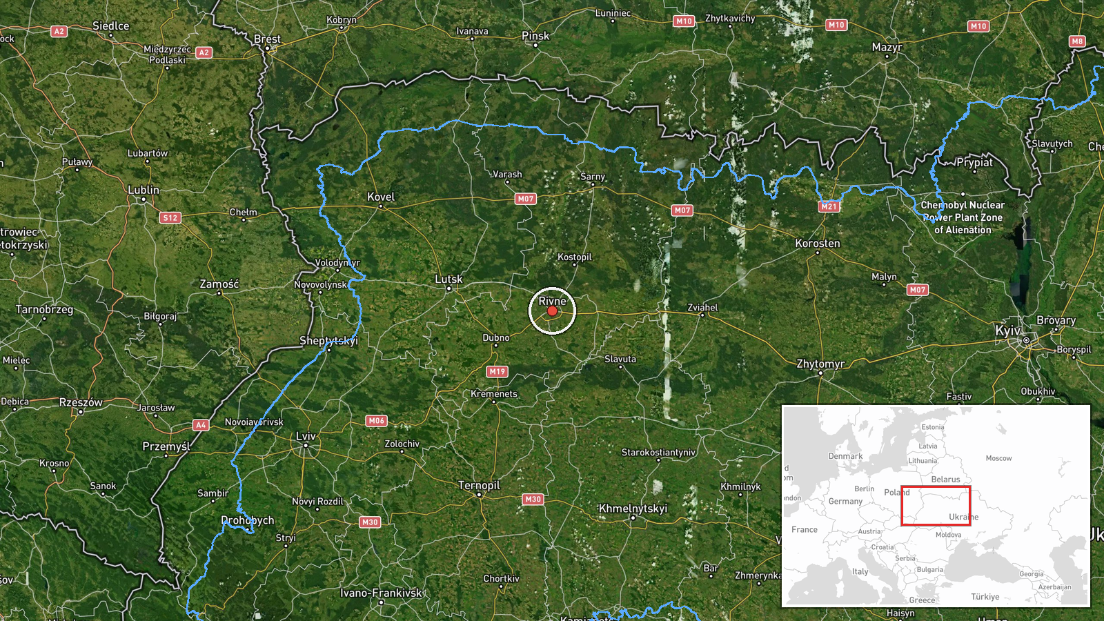
Ukrainian air monitoring reported on Telegram that one Russian jet-powered Shahed-type drone, identified as a Geran-3, was heading toward Rivne, a city in northwestern Ukraine. The original post, published in Ukrainian on the channel listed as @kpszsu, used the phrasing 'Реактивний БпЛА на Рівне з півночі', or 'jet-powered UAV toward Rivne from the north.' The alert was logged at 04:44 UTC on 19 October 2026. The post does not report impact, casualties, or damage, and it does not state whether the drone was intercepted. The reporting is a short tracking notice, so the outcome of the transit remains unconfirmed in this record.
Context and assessment
Rivne sits in the northwest of Ukraine, a region that has been crossed by Russian long-range drones on routes from the north and east. This entry is the latest in a short run of tracking alerts for the same city. The related events show a Geran-3 drone passing Horodnytsia and heading toward Rivne Oblast at 08:31 UTC on 18 October, followed by reports at 08:37 and 08:40 describing a drone over or heading toward Rivne. Further alerts came at 02:44 and 03:06 UTC on 19 October, and this report followed at 04:44. The repeated notices suggest either a single drone, or a series of drones, being tracked over many hours rather than one isolated launch. The city's regional importance, including its road and rail links and the nearby energy infrastructure, may explain why it is repeatedly named. Operationally, a sustained pattern of tracking toward one city could indicate a route being reused, a decoy or test flight, or a single airframe that stayed airborne for a long period. The record cannot establish which of these applies.
Sources and confidence
The entry rests on one Telegram channel, @kpszsu, which is the monitoring channel of Ukraine's Air Force, and no independent outlet is listed as corroborating it. The confidence score of 8.0 reflects a credible official-type source and a precise, high-confidence location, but it is held below the maximum because the report is single-source and contains no impact or interception details. Confidence would rise with confirmation from a second channel, an official interception statement, or local reporting of an explosion or debris. It would fall if later updates retract the alert or if the tracking is shown to refer to a different target area.
Location
The location was assigned at settlement level, centred on Rivne city at approximately 50.62 N, 26.25 E, and the location confidence is rated high. The post names Rivne directly and the related alerts use the same city, so the point is not an estimate of a facility. Rivne lies in northwestern Ukraine, in a generally flat landscape of farmland, forest, and river valleys, with the Horyn River system to the south and west of the city. The Rivne nuclear power plant lies some distance away to the northwest, so the city point does not represent that site.
Related events nearby
- Ukrainian air monitoring: 1 Russian jet-powered Shahed (Geran-3) drone heading toward Rivne.2026-10-19 03:06 UTC · Drone Transit · Rivne, Ukraine
- Ukrainian air monitoring: 1 Russian jet-powered Shahed (Geran-3) drone heading toward Rivne.2026-10-19 02:44 UTC · Drone Transit · Rivne, Ukraine
- Ukrainian air monitoring: 1 Russian jet-powered Shahed (Geran-3) drone over Rivne.2026-10-18 08:40 UTC · Drone Transit · Rivne, Ukraine
- Ukrainian air monitoring: 1 Russian Shahed-type drone heading toward Rivne.2026-10-18 08:37 UTC · Drone Transit · Rivne, Ukraine
- Ukrainian air monitoring: 1 Russian jet-powered Shahed (Geran-3) drone passing Horodnytsia, heading toward Riv2026-10-18 08:31 UTC · Drone Transit · Rivne Oblast, Ukraine
▶ View this event on the live map

Intel Mapper aggregates open-source reports from monitored Telegram and X channels, geolocates them, cross-checks duplicates across sources and assigns a confidence score. Entries are updated as new confirmations arrive. Read how we verify events.