Ukrainian air monitoring reports 2+ Russian Geran-3 jet drones heading toward Rivne
What happened
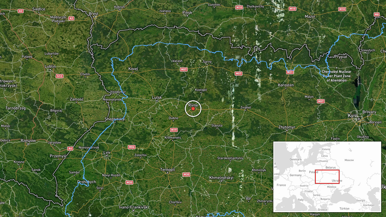
Ukrainian air monitoring reported on the Telegram channel @kpszsu that at least two jet-powered Russian Shahed-type drones, identified as Geran-3, were heading toward Rivne, a city in northwestern Ukraine. The alert was logged at 01:50 UTC on 20 October 2026. The original Ukrainian-language post described jet-propelled unmanned aerial vehicles approaching Rivne from the east and northeast, and the summary condenses this to a count of two or more. The report does not describe impacts, damage, casualties, or interceptions, and it names no specific target within the city. The entry is a transit warning rather than a confirmed strike, and it reflects real-time observation by the monitoring channel rather than independent verification of the drones' final destination.
Context and assessment
Rivne is the administrative center of Rivne Oblast, a region of Polissia that lies in the northwest of Ukraine and is closer to the Belarusian frontier than most major western cities. Its importance to air defense planning is largely about infrastructure and transit: the oblast sits along routes that drones can use when approaching the west and northwest of the country. The related events show a sequence of Geran-3 tracks logged between 00:47 and 01:43 UTC. One report describes a drone passing Berezne, a settlement in Rivne Oblast, on its way toward Rivne. Another, at 01:44 UTC, describes a drone moving from Zhytomyr Oblast toward Rivne Oblast, which fits the northeast approach described in the original post. The repeated short-interval entries suggest either a series of drones launched in succession or a single group being tracked across several oblasts as it moved. Operationally, this pattern may indicate a sustained flight corridor through the north and northwest, with Rivne either a waypoint or a possible target. Because the entries describe transit rather than detonation, the data alone does not show where the drones were ultimately directed.
Sources and confidence
The report comes from one channel, the Telegram account @kpszsu, which is widely understood to be the official channel of the Ukrainian Air Force. Within the dataset, no second outlet has independently confirmed this specific alert, although the related entries come from the same type of air-monitoring source. The confidence score of 8.0 reflects the official nature of the channel, the consistency of the sequence, and the direct use of Ukrainian-language wording. It is held below the top of the scale because the report is single-sourced and describes an intermediate transit stage. Confidence would rise with corroboration from regional authorities, impact reports, or independent geolocation of debris. It would fall if later official updates revised the drone count, reclassified the tracks, or indicated decoys.
Location
The location is at settlement level, with high location confidence. The coordinates of 50.62 north and 26.25 east correspond to the city of Rivne, not a specific facility. Rivne sits in the Polissia lowlands, an area of forests, marshes, and rivers, with the Ustia River flowing through the region. The surrounding terrain is largely flat and wooded, which can complicate low-altitude tracking. The city's position lies between the Zhytomyr and Volyn areas, which helps explain the directional descriptions in the reports.
Related events nearby
- Ukrainian air monitoring: 1 Russian jet-powered Shahed (Geran-3) drone heading toward Rivne.2026-10-20 02:06 UTC · Drone Transit · Rivne, Ukraine
- Ukrainian air monitoring: 1 Russian jet-powered Shahed (Geran-3) drone from Zhytomyr Oblast toward Rivne Oblas2026-10-20 01:44 UTC · Drone Transit · Rivne Oblast, Ukraine
- Ukrainian air monitoring: 1 Russian jet-powered Shahed (Geran-3) drone heading toward Rivne.2026-10-20 01:43 UTC · Drone Transit · Rivne, Ukraine
- Ukrainian air monitoring: 2+ Russian jet-powered Shahed (Geran-3) drones heading toward Rivne.2026-10-20 01:09 UTC · Drone Transit · Rivne, Ukraine
- Ukrainian air monitoring: 1 Russian jet-powered Shahed (Geran-3) drone heading toward Rivne.2026-10-20 00:54 UTC · Drone Transit · Rivne, Ukraine
▶ View this event on the live map

Intel Mapper aggregates open-source reports from monitored Telegram and X channels, geolocates them, cross-checks duplicates across sources and assigns a confidence score. Entries are updated as new confirmations arrive. Read how we verify events.