Jet-powered Shahed drone reported approaching Lviv's northern outskirts, per Ukrainian air monitoring
What happened
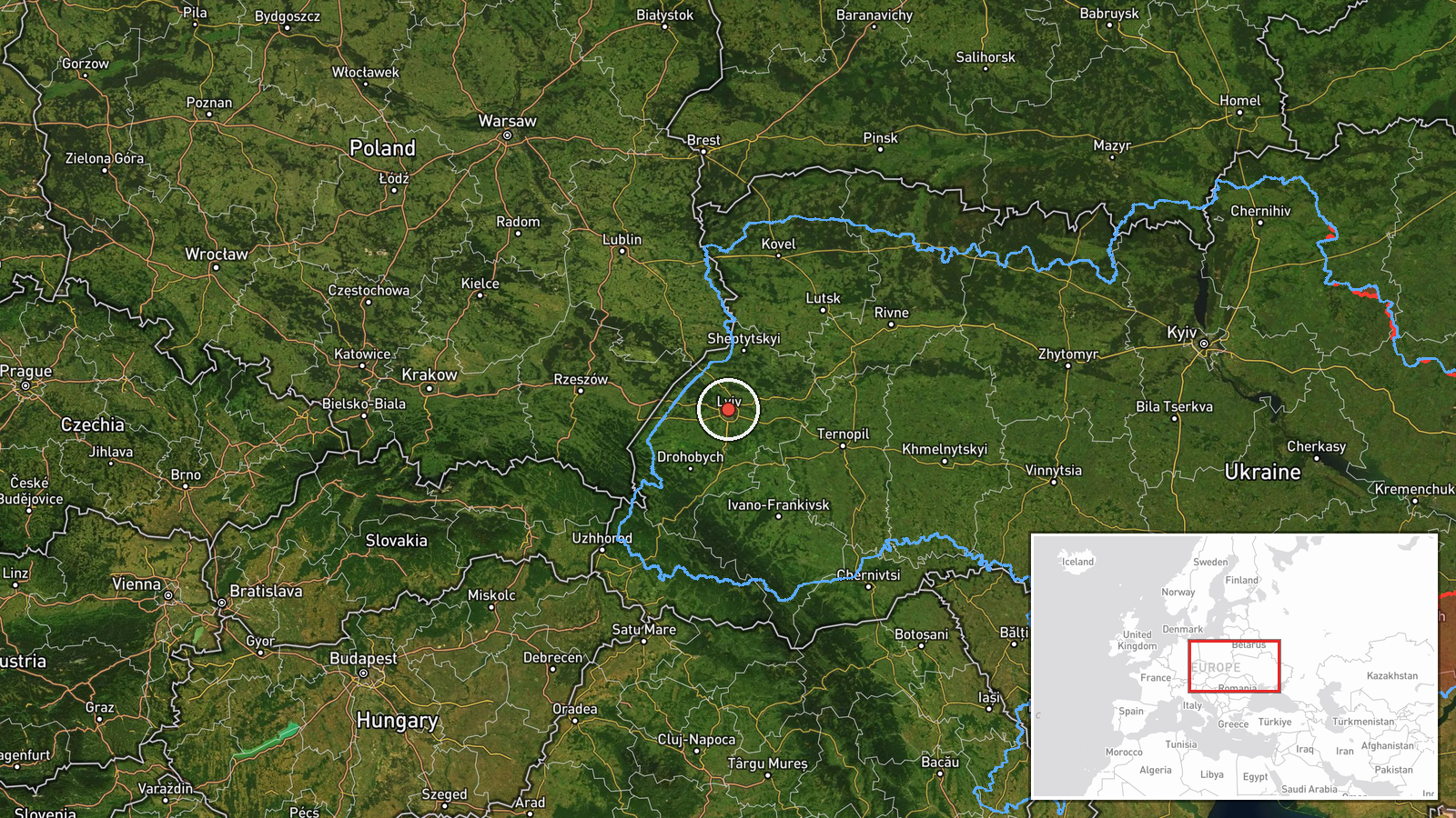
A Ukrainian air monitoring channel on Telegram (@kpszsu) reported that another Russian jet-powered Shahed, identified as a Geran-3, was tracked approaching the northern outskirts of Lviv, in Lviv Oblast in western Ukraine. The post, published on 19 October 2026 at 05:44 UTC, was brief and described the drone as flying in from the north toward the city's suburbs. The original Ukrainian wording, which translates roughly as 'Again a jet-powered UAV in the Lviv suburbs from the north,' gives no information on impacts, interceptions, or damage. The report is a single-channel track update rather than a confirmed strike, and the exact flight path beyond the suburbs is not described.
Context and assessment
Lviv is a regional hub in western Ukraine, a city of major rail, road and industrial importance, and it sits well away from the front line, which is why repeated drone activity over it draws attention. The related events in the data show a sequence over roughly a day and a half: on 18 October, single Shahed-type drones were logged passing Kulykiv and Dobrotvir, heading toward Lviv, and over the city itself at 07:21 and 07:26 UTC. The latest entries on 19 October record a jet-powered Geran-3 over Lviv at 04:52 UTC, followed by this report of another one approaching from the north. The recurrence of single drones on a similar axis suggests either repeated test or transit flights, or a deliberate pattern of probing air defence coverage in the west. The shift to a jet-powered variant is operationally notable, because jet propulsion generally gives higher speed than the piston-engined Shahed design, which would shorten warning time for interceptor and mobile fire groups. These inferences rest on the pattern of reports rather than on any confirmed target or outcome.
Sources and confidence
The report comes from one Telegram channel, @kpszsu, which posts Ukrainian air monitoring updates. No second independent channel, official statement, or wire service report in the provided data confirms the track. The confidence score of 8.0 is relatively low, reflecting a single source, the absence of corroboration, and the brevity of the update. Confidence would rise if other monitoring channels, regional military administration statements, or media outlets reported the same track with consistent timing, or if local officials described an interception or impact. It would fall if the track were revised, withdrawn, or contradicted by later reporting showing the drone left the area.
Location
The event is placed on the northern outskirts of Lviv, Lviv Oblast, at approximately 49.88 N, 24.02 E. The geographic precision is coded as region rather than settlement, and location confidence is low, so the marker reflects the general northern approach to the city rather than a specific street or facility. Lviv lies in the western Ukrainian uplands, with the Poltva River flowing through the city and rolling terrain, forested areas and agricultural land on its northern edges. Its northern suburbs are a mix of residential development and open land, and the marker should be read as an approximate area of the approach.
Related events nearby
- Ukrainian air monitoring: 1 Russian Shahed-type drone passing Kulykiv, heading toward Lviv.2026-10-18 08:14 UTC · Drone Transit · Lviv, Ukraine
- Ukrainian air monitoring: 1 Russian Shahed-type drone passing Dobrotvir, heading toward Lviv.2026-10-18 08:08 UTC · Drone Transit · Lviv, Ukraine
- Ukrainian air monitoring: 1 Russian Shahed-type drone over Lviv.2026-10-18 07:26 UTC · Drone Transit · Lviv, Ukraine
- Ukrainian air monitoring: 1 Russian Shahed-type drone heading toward Lviv.2026-10-18 07:21 UTC · Drone Transit · Lviv, Ukraine
- Ukrainian air monitoring: 1 Russian jet-powered Shahed (Geran-3) drone over Lviv.2026-10-19 04:52 UTC · Drone Transit · Lviv, Ukraine
▶ View this event on the live map

Intel Mapper aggregates open-source reports from monitored Telegram and X channels, geolocates them, cross-checks duplicates across sources and assigns a confidence score. Entries are updated as new confirmations arrive. Read how we verify events.