Ukrainian monitors report one jet-powered Geran-3 drone heading toward Rivne
What happened
On 19 October 2026, at about 17:53 UTC, a Ukrainian air monitoring post reported one Russian jet-powered Shahed (Geran-3) drone approaching Rivne from the east. The report, published on the Telegram channel @kpszsu, is a short operational alert. Its original Ukrainian wording, 'Реактивний БпЛА на Рівне зі сходу,' describes a jet-type UAV moving toward Rivne from the east. The channel's summary is consistent with that wording, and the alert does not describe any impact, casualties, or damage. The alert is one of several Geran-3 transit reports issued for the Rivne area earlier that day.
Context and assessment
Rivne is a regional centre in western Ukraine, roughly 300 kilometres from the Polish border. Its position makes it a recurring point on the routes that Russian long-range drones take toward western Ukraine. Within the same day, the monitoring feed logged several related transits: groups of two or more drones heading toward Rivne Oblast at 05:48 and 17:35 UTC, single drones passing Adyn' toward Rivne at 06:39 and 07:31 UTC, and one drone passing Rivne Oblast heading west at 16:36 UTC. This sequence suggests that the drones were moving in successive waves and that the oblast was under sustained airspace monitoring rather than facing a single isolated incursion. Jet-powered Geran-3 variants are generally faster and harder to intercept than the older piston-engine Shahed design, which may be why they are tracked as they cross the region. The alerts describe transit and heading, not confirmed targets. Operationally, repeated passages toward a city can indicate routing, reconnaissance, or a decoy role, but the data alone cannot establish the intent behind any single flight.
Sources and confidence
The alert comes from a single Telegram channel, @kpszsu, which is linked to Ukrainian air monitoring reporting. No second channel, official statement, or wire report in the data confirms this specific track. The 8.0 confidence score reflects a credible, specialised source and a consistent pattern of related transit reports earlier the same day, but it is held back by single-source reporting and the absence of any impact or interception outcome. Confidence would rise with independent corroboration, such as a second monitoring source, a regional military administration statement, or an interception or impact report. It would fall if the channel corrected or withdrew the alert.
Location
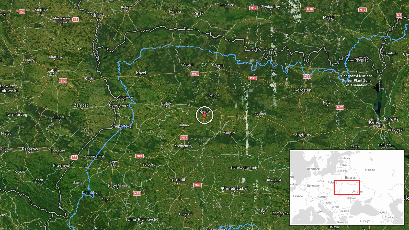
The location is a settlement-level match for Rivne city, placed at approximately 50.62 N, 26.25 E. The alert names Rivne as the target direction rather than a precise point, so the marker reflects the city rather than any facility. Rivne lies in the Polissia lowlands of northwestern Ukraine, an area of forests, wetlands, and river valleys. The Horyn and Ustya river systems lie within the wider region. The terrain is largely flat, which matters for low-altitude drone tracking.
Related events nearby
- Ukrainian air monitoring: 2+ Russian jet-powered Shahed (Geran-3) drones passing Olevsk, heading toward Rivne 2026-10-19 17:35 UTC · Drone Transit · Rivne Oblast, Ukraine
- Ukrainian air monitoring: 1 Russian jet-powered Shahed (Geran-3) drone passing Rivne Oblast, heading west.2026-10-19 16:36 UTC · Drone Transit · Rivne Oblast, Ukraine
- Ukrainian air monitoring: 1 Russian jet-powered Shahed (Geran-3) drone passing Adyn’, heading toward Rivne.2026-10-19 07:31 UTC · Drone Transit · Rivne, Ukraine
- Ukrainian air monitoring: 1 Russian jet-powered Shahed (Geran-3) drone passing Adyn’, heading toward Rivne.2026-10-19 06:39 UTC · Drone Transit · Rivne, Ukraine
- Ukrainian air monitoring: 2+ Russian jet-powered Shahed (Geran-3) drones heading toward Rivne Oblast.2026-10-19 05:48 UTC · Drone Transit · Rivne Oblast, Ukraine
▶ View this event on the live map

Intel Mapper aggregates open-source reports from monitored Telegram and X channels, geolocates them, cross-checks duplicates across sources and assigns a confidence score. Entries are updated as new confirmations arrive. Read how we verify events.