Ukrainian air defenses report downing or suppressing 115 of 165 Russian drones in overnight attack
What happened
Ukraine's Air Force, posting on the Telegram channel @kpszsu, said that overnight into 20 October, from 18:00 on 19 October, Russia launched 165 attack drones and decoys. The post lists Shahed-type drones, including 105 jet-powered, S8000 Bandero and Dan-T types, Gerbera drones and Parodiya decoys. Launch directions cited were Oryol, Kursk and Primorsko-Akhtarsk in Russia, occupied Donetsk, occupied Crimea and the Sea of Azov. By 08:00, 115 drones were reportedly shot down or suppressed, 73 of them jet-powered Shaheds, with 20 strike drones still airborne. The summary adds impacts at 30 locations and debris at 13, figures the original text does not itemize.
Context and assessment
Overnight drone waves against Ukraine's air defenses and energy grid form a recurring pattern, and this report fits it. The General Staff's 24-hour summary, published the same morning, counted 8,784 kamikaze drones and 217 guided glide bombs over the previous day, indicating that this raid was one part of a much larger campaign. A ballistic missile warning issued shortly before midnight, later lifted with no impact reported, suggests missile strikes may have been considered alongside the drones. On 19 October, Zelensky said more than ten energy facilities had been damaged in an earlier overnight attack, with nationwide outages reported, so the drone raid lands on infrastructure already under strain. Mixing jet-powered Shaheds, Gerbera decoys and Parodiya imitators is consistent with an effort to saturate radar and exhaust interceptors, though the post itself does not state intent. Launches from Russian territory and occupied areas also show how widely the attack was distributed. Roughly 20 strike drones still airborne at 08:00 suggest the defense was not complete, and impacts at 30 locations, if confirmed, would point to dispersal rather than a single target. These operational readings are tentative.
Sources and confidence
This assessment rests on a single channel, the Telegram account @kpszsu, which relays Ukrainian Air Force reporting. No independent outlet, Russian statement or imagery is included, so the 8.1 confidence score reflects a credible official source with unverified specifics rather than cross-confirmation. Related events from the same morning add context but do not confirm the count. Confidence would rise with corroboration from other Ukrainian agencies, regional authorities naming impact sites, or imagery of debris fields. It would fall if later Air Force updates revise the interception figures or if impacts at 30 locations cannot be substantiated.
Location
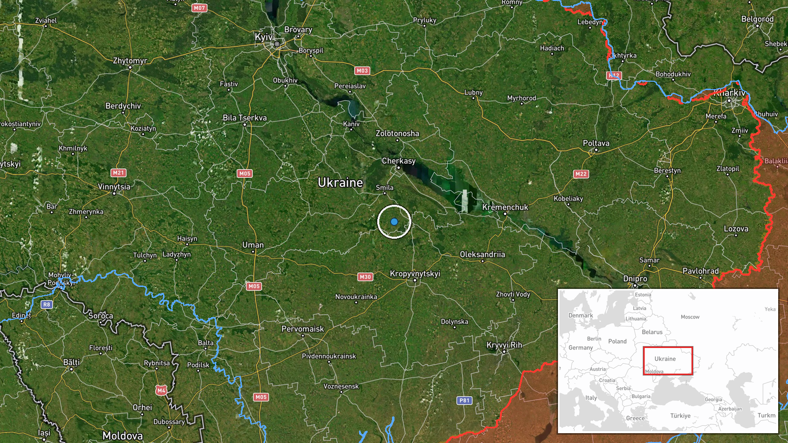
The coordinates, 49.0 N and 32.0 E, are a generic point over central-eastern Ukraine rather than a named settlement, so the location reflects national scope rather than a verified impact site. The 30 impact locations are not individually mapped in the data. The area is largely agricultural lowland within the broader Dnipro basin, far from the Azov and Crimean launch areas the report names. Exact target sites are not identified.
Related events nearby
- Ukrainian General Staff reports 24h Russian attacks: 1 missile strike, 63 airstrikes, 217 guided glide bombs, 2026-10-20 04:07 UTC · Report · Ukraine
- Ukrainian air monitoring announces the all-clear: the threat of Russian ballistic missile use has ended.2026-10-20 00:24 UTC · Siren · Ukraine (nationwide)
- Ukrainian air monitoring warns of a threat of Russian ballistic missile use against Ukraine; no specific impac2026-10-20 00:10 UTC · Ballistic Missile · Ukraine (nationwide threat)
- Ukrainian military conscription officers reportedly dragged a man across a vehicle's hood during a mobilizatio2026-10-19 09:19 UTC · Security · Ukraine
- Zelensky says over 10 energy facilities were damaged in a Russian overnight attack; Ukrainian power outages re2026-10-19 08:32 UTC · Combat · Ukraine
▶ View this event on the live map

Intel Mapper aggregates open-source reports from monitored Telegram and X channels, geolocates them, cross-checks duplicates across sources and assigns a confidence score. Entries are updated as new confirmations arrive. Read how we verify events.