Ukrainian air monitoring warns of possible Russian ballistic missile use; no impact reported
What happened
On 20 October 2026 at about 00:10 UTC, Ukraine's air monitoring service, as relayed by the Telegram channel @kpszsu, issued a warning of a threat of Russian ballistic missile use against Ukraine. The alert was framed as a nationwide threat rather than a strike on a named location, and the original post consisted only of a short warning line with a missile icon. No impact, casualty, or specific target was reported in the source. Fourteen minutes later, at about 00:24 UTC, the same monitoring system announced the all-clear, stating that the ballistic missile threat had ended. The wording of the source describes a threat of use, not a confirmed launch, so the event should be read as a warning rather than a verified missile attack.
Context and assessment
This warning sits within a sustained period of Russian long-range strikes on Ukraine. In the preceding day, Ukrainian air defense reportedly downed 418 of 463 Russian strike drones on October 18, an interception rate of 90.28 percent, and several Geran-3 jet-powered Shahed drones were tracked moving through Cherkasy and Poltava oblasts in central Ukraine during the afternoon and evening of October 19. Cherkasy sits on the Dnipro corridor and lies along routes that drones have used to move toward western and northwestern Ukraine. The pattern suggests a coordinated combined strike campaign in which drones are used to saturate air defenses while missiles are held in reserve. A ballistic threat warning issued nationwide, rather than for a single oblast, typically reflects a general reading of launch indicators or intelligence rather than a known target. Operationally, such alerts may indicate that Russia retains ballistic capacity and is keeping Ukrainian defenses on alert, but a warning alone does not establish intent or the type of target that might be struck.
Sources and confidence
The report rests on a single Telegram channel, @kpszsu, which is the official channel associated with Ukraine's air monitoring. No independent outlet, wire service, or second channel is listed as confirming the warning, so cross-confirmation is absent. The confidence score of 8.0 reflects a credible official origin and the short, specific nature of the post, but it is limited by the single-source basis, the absence of any confirmed launch or impact, and the brevity of the wording. Confidence would rise if independent monitoring, Ukrainian Air Force statements, or reports of an actual missile impact or interception were published. It would fall if the all-clear were later contradicted or if the warning was not matched by any observed launch.
Location
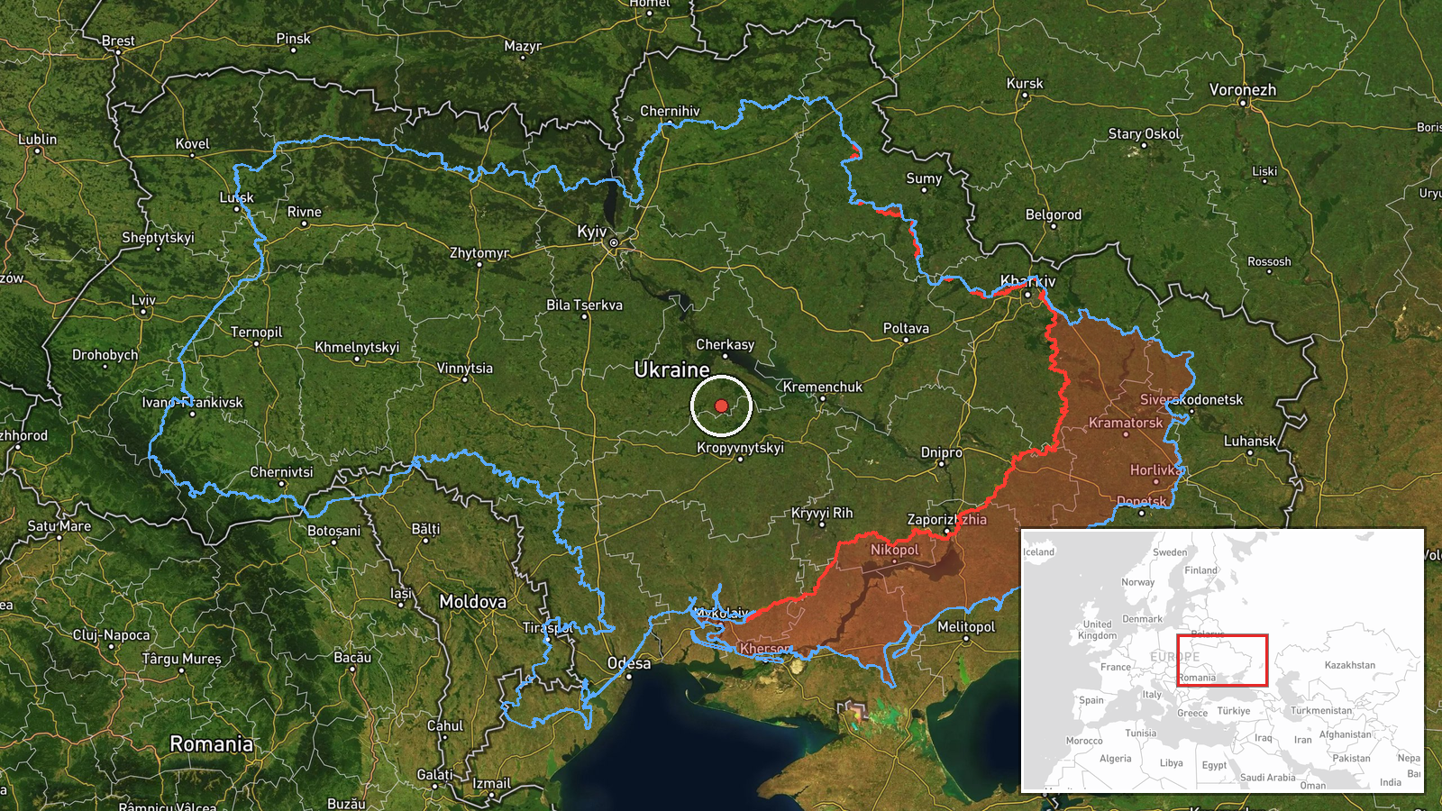
The location is recorded as a nationwide threat for Ukraine rather than a settlement or facility. The coordinates given, 49.0 North and 32.0 East, are a region-level placeholder near central Ukraine, and the location confidence is rated low, so the point should not be read as a target. Ukraine's geography here includes the Dnipro River basin, the central oblasts of Cherkasy and Poltava to the east and north, and the Black Sea coast to the south. The coordinates therefore mark a general area rather than a specific strike site.
Related events nearby
- Ukrainian air monitoring announces the all-clear: the threat of Russian ballistic missile use has ended.2026-10-20 00:24 UTC · Siren · Ukraine (nationwide)
- Ukrainian air defense downed 418 of 463 Russian strike drones (Shahed, Parodiya, Gerbera, Banderol, Italmas) o2026-10-19 15:02 UTC · Air Defense · Ukraine (location not reported)
- Ukrainian air monitoring: one Russian jet-powered Shahed (Geran-3) drone tracked near Irdyn, Cherkasy Oblast, 2026-10-19 17:29 UTC · Drone Transit · Irdyn, Ukraine
- Ukrainian air monitoring: 1 Russian jet-powered Shahed (Geran-3) drone from Poltava Oblast toward Cherkasy Obl2026-10-19 16:00 UTC · Drone Transit · Cherkasy Oblast, Ukraine
- Ukrainian air monitoring: 1 Russian jet-powered Shahed (Geran-3) drone passing Cherkasy Oblast, heading northw2026-10-19 15:54 UTC · Drone Transit · Cherkasy Oblast, Ukraine
▶ View this event on the live map

Intel Mapper aggregates open-source reports from monitored Telegram and X channels, geolocates them, cross-checks duplicates across sources and assigns a confidence score. Entries are updated as new confirmations arrive. Read how we verify events.